Estimated Value: $489,000 - $542,000
3
Beds
2
Baths
1,590
Sq Ft
$326/Sq Ft
Est. Value
About This Home
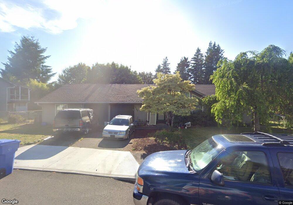
This home is located at 18180 Davis St, Sandy, OR 97055 and is currently estimated at $517,721, approximately $325 per square foot. 18180 Davis St is a home located in Clackamas County with nearby schools including Sandy Grade School, Cedar Ridge Middle School, and Sandy High School.
Ownership History
Date
Name
Owned For
Owner Type
Purchase Details
Closed on
Aug 3, 2018
Sold by
Morgan David L and Morgan Laura T
Bought by
Morgan David L and David L Morgan Family Trust
Current Estimated Value
Purchase Details
Closed on
Nov 27, 2002
Sold by
Marcy Frank L
Bought by
Morgan David L and Morgan Laura T
Home Financials for this Owner
Home Financials are based on the most recent Mortgage that was taken out on this home.
Original Mortgage
$127,900
Interest Rate
6.12%
Purchase Details
Closed on
Apr 24, 1998
Sold by
Marcy Joyce C
Bought by
Marcy Frank L
Create a Home Valuation Report for This Property
The Home Valuation Report is an in-depth analysis detailing your home's value as well as a comparison with similar homes in the area
Home Values in the Area
Average Home Value in this Area
Purchase History
| Date | Buyer | Sale Price | Title Company |
|---|---|---|---|
| Morgan David L | -- | None Available | |
| Morgan David L | $159,900 | First American | |
| Marcy Frank L | -- | -- |
Source: Public Records
Mortgage History
| Date | Status | Borrower | Loan Amount |
|---|---|---|---|
| Previous Owner | Morgan David L | $127,900 |
Source: Public Records
Tax History
| Year | Tax Paid | Tax Assessment Tax Assessment Total Assessment is a certain percentage of the fair market value that is determined by local assessors to be the total taxable value of land and additions on the property. | Land | Improvement |
|---|---|---|---|---|
| 2025 | $4,882 | $284,569 | -- | -- |
| 2024 | $4,676 | $276,281 | -- | -- |
| 2023 | $4,676 | $268,234 | -- | -- |
| 2022 | $4,430 | $260,422 | $0 | $0 |
| 2021 | $4,277 | $252,837 | $0 | $0 |
| 2020 | $4,161 | $245,473 | $0 | $0 |
| 2019 | $4,122 | $238,324 | $0 | $0 |
| 2018 | $4,006 | $231,383 | $0 | $0 |
| 2017 | $3,910 | $224,644 | $0 | $0 |
| 2016 | $3,775 | $218,101 | $0 | $0 |
| 2015 | $3,668 | $211,749 | $0 | $0 |
| 2014 | $3,572 | $205,582 | $0 | $0 |
Source: Public Records
Map
Nearby Homes
- 18050 SE Langensand Rd
- 17840 Wolf Dr
- 39576 Trillium St
- 19124 SE Jacoby Rd
- 0 Oregon 211
- 39329 Woodbury Way
- 39307 Woodbury Way
- 38915 Sandy Heights St
- 39302 Stratford Place
- 41035 SE Coalman Rd
- 41051 SE Coalman Rd
- 0 SE Coalman Rd
- 18307 Tupper Rd
- 41057 SE Vista Loop Dr
- 41081 SE Vista Loop Dr
- 18635 Warm Springs St Unit 4
- 38802 Cascadia Village Dr
- 18605 Warm Springs St
- 38565 Pleasant St
- 41570 Metolius Ave Unit 22
Your Personal Tour Guide
Ask me questions while you tour the home.