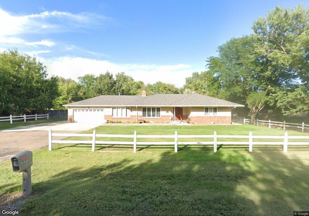
18181 Westwood Dr Sterling, CO 80751
Estimated Value: $333,939 - $438,000
3
Beds
2
Baths
1,719
Sq Ft
$236/Sq Ft
Est. Value
About This Home
This home is located at 18181 Westwood Dr, Sterling, CO 80751 and is currently estimated at $405,235, approximately $235 per square foot. 18181 Westwood Dr is a home located in Logan County with nearby schools including Campbell Elementary School, Ayres Elementary School, and Sterling Middle School.
Ownership History
Date
Name
Owned For
Owner Type
Purchase Details
Closed on
May 18, 2009
Sold by
Waite Patrick A and Waite Carrie M
Bought by
Mclaughlin Richard Frank and Mclaughlin Janette
Current Estimated Value
Home Financials for this Owner
Home Financials are based on the most recent Mortgage that was taken out on this home.
Original Mortgage
$150,000
Interest Rate
4.77%
Mortgage Type
New Conventional
Purchase Details
Closed on
Aug 12, 2005
Sold by
Everhart Kate and Everhart Kathryn
Bought by
Waite Patrick A and Waite Carrie M
Home Financials for this Owner
Home Financials are based on the most recent Mortgage that was taken out on this home.
Original Mortgage
$154,800
Interest Rate
5.65%
Mortgage Type
New Conventional
Purchase Details
Closed on
Mar 7, 2005
Sold by
Everhart Matt
Bought by
Everhart Kate
Create a Home Valuation Report for This Property
The Home Valuation Report is an in-depth analysis detailing your home's value as well as a comparison with similar homes in the area
Home Values in the Area
Average Home Value in this Area
Purchase History
| Date | Buyer | Sale Price | Title Company |
|---|---|---|---|
| Mclaughlin Richard Frank | $189,000 | None Available | |
| Waite Patrick A | $172,000 | Stewart Title Of Sterling | |
| Everhart Kate | -- | None Available |
Source: Public Records
Mortgage History
| Date | Status | Borrower | Loan Amount |
|---|---|---|---|
| Closed | Mclaughlin Richard Frank | $150,000 | |
| Previous Owner | Waite Patrick A | $154,800 |
Source: Public Records
Tax History Compared to Growth
Tax History
| Year | Tax Paid | Tax Assessment Tax Assessment Total Assessment is a certain percentage of the fair market value that is determined by local assessors to be the total taxable value of land and additions on the property. | Land | Improvement |
|---|---|---|---|---|
| 2024 | $846 | $22,660 | $0 | $0 |
| 2023 | $846 | $22,660 | $0 | $0 |
| 2022 | $886 | $18,460 | $3,480 | $14,980 |
| 2021 | $862 | $18,990 | $3,580 | $15,410 |
| 2020 | $710 | $32,780 | $2,810 | $29,970 |
| 2019 | $1,266 | $32,780 | $2,810 | $29,970 |
| 2018 | $1,166 | $15,050 | $2,520 | $12,530 |
| 2017 | $1,144 | $73,140 | $12,250 | $60,890 |
| 2015 | $506 | $63,550 | $11,380 | $52,170 |
| 2014 | $506 | $58,290 | $7,700 | $50,590 |
| 2013 | $506 | $58,290 | $7,700 | $50,590 |
Source: Public Records
Map
Nearby Homes
- 14057 Greenway Dr
- 14201 Cottonwood Cir
- 14053 Cottonwood Cir
- 14363 Dakota Rd
- 315 Hayes Ave Unit 95
- 1123 Kings Ct Unit 77
- 827 Clark St
- 100 Belaire Cir
- 223 N 8th Ave
- 731 Douglas St
- 324 Platte St
- 112 N 5th Ave
- 220 Clark St
- 426 W Main St
- 222 Platte St
- 717 Phelps St
- 1118 N 7th St
- 1402 Fillmore St
- 701 Phelps St
- 514 Hamilton St
- 18161 Westwood Dr
- 18209 Westwood Dr
- 18198 Willow Dr
- 18180 Willow Dr
- 14092 Greenway Dr
- 14109 Summit Dr
- 18141 Westwood Dr
- 18188 Westwood Dr
- 14063 Summit Dr
- 18156 Willow Dr
- 14042 Greenway Dr
- 18212 Westwood Dr
- 14152 Greenway Dr
- 18187 Willow Dr
- 18232 Westwood Dr
- 18231 Willow Dr
- 14085 Greenway Dr
- 17826 Willow Dr
- 14113 Greenway Dr
- 17816 Willow Dr