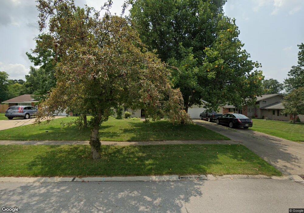
18189 Mallard Cir Strongsville, OH 44136
Estimated Value: $289,000 - $326,000
3
Beds
2
Baths
1,832
Sq Ft
$167/Sq Ft
Est. Value
About This Home
This home is located at 18189 Mallard Cir, Strongsville, OH 44136 and is currently estimated at $306,555, approximately $167 per square foot. 18189 Mallard Cir is a home located in Cuyahoga County with nearby schools including Strongsville High School, Sts Joseph & John Interparochial School, and Strongsville Montessori School.
Ownership History
Date
Name
Owned For
Owner Type
Purchase Details
Closed on
Nov 9, 1989
Bought by
Lewis Dennis Allen
Current Estimated Value
Purchase Details
Closed on
Apr 3, 1985
Bought by
Cleveland David A & Sharon S
Purchase Details
Closed on
Oct 8, 1982
Sold by
Mika William J and Carol Sue
Bought by
Eifler Wayne E and Mary Ann
Purchase Details
Closed on
Sep 17, 1975
Bought by
Mika William J and Carol Sue
Purchase Details
Closed on
Jan 1, 1975
Bought by
Parkview Corp
Create a Home Valuation Report for This Property
The Home Valuation Report is an in-depth analysis detailing your home's value as well as a comparison with similar homes in the area
Home Values in the Area
Average Home Value in this Area
Purchase History
| Date | Buyer | Sale Price | Title Company |
|---|---|---|---|
| Lewis Dennis Allen | $95,500 | -- | |
| Cleveland David A & Sharon S | -- | -- | |
| Eifler Wayne E | $87,000 | -- | |
| Cleveland David A | $76,000 | -- | |
| Mika William J | $54,600 | -- | |
| Parkview Corp | -- | -- |
Source: Public Records
Tax History Compared to Growth
Tax History
| Year | Tax Paid | Tax Assessment Tax Assessment Total Assessment is a certain percentage of the fair market value that is determined by local assessors to be the total taxable value of land and additions on the property. | Land | Improvement |
|---|---|---|---|---|
| 2024 | $4,040 | $86,030 | $22,015 | $64,015 |
| 2023 | $4,311 | $68,850 | $18,590 | $50,260 |
| 2022 | $4,280 | $68,850 | $18,590 | $50,260 |
| 2021 | $4,246 | $68,850 | $18,590 | $50,260 |
| 2020 | $3,934 | $56,420 | $15,230 | $41,200 |
| 2019 | $3,818 | $161,200 | $43,500 | $117,700 |
| 2018 | $1,733 | $56,420 | $15,230 | $41,200 |
| 2017 | $3,365 | $50,720 | $12,250 | $38,470 |
| 2016 | $3,337 | $50,720 | $12,250 | $38,470 |
| 2015 | $3,385 | $50,720 | $12,250 | $38,470 |
| 2014 | $3,385 | $50,720 | $12,250 | $38,470 |
Source: Public Records
Map
Nearby Homes
- 18162 Fawn Cir
- 17069 Partridge Dr
- 18630 Shurmer Rd
- 19311 Bradford Ct
- 19297 Lauren Way
- 19513 Lunn Rd
- 17024 Bear Creek Ln
- 17259 Woodshire Dr
- 18294 Drake Rd
- 17682 Drake Rd
- 16650 Lanier Ave
- 17159 Turkey Meadow Ln
- 17934 Cambridge Oval
- 19160 Wheelers Ln
- 19908 Stoughton Dr
- 20393 Wildwood Ln
- 19620 Porters Ln Unit 15F
- 15639 Indianhead Ln
- 14112 Settlers Way
- 15279 Walnut Creek Dr
- 18211 Mallard Cir
- 18157 Mallard Cir
- 18255 Mallard Cir
- 18151 Mallard Cir
- 18188 Raccoon Trail
- 18176 Raccoon Trail
- 18200 Raccoon Trail
- 18265 Mallard Cir
- 18190 Mallard Cir
- 18232 Raccoon Trail
- 18212 Mallard Cir
- 18139 Mallard Cir
- 18158 Mallard Cir
- 17111 Partridge Dr
- 18158 Raccoon Trail
- 18256 Mallard Cir
- 18142 Mallard Cir
- 18273 Mallard Cir
- 18266 Mallard Cir
- 17107 Partridge Dr