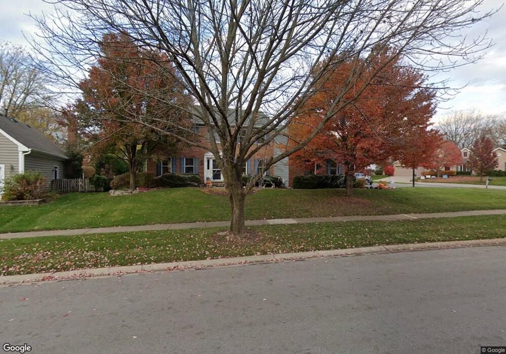
1819 Allen Dr Unit 3 Geneva, IL 60134
Southwest Central Geneva NeighborhoodEstimated Value: $597,157 - $787,000
4
Beds
3
Baths
2,628
Sq Ft
$259/Sq Ft
Est. Value
About This Home
This home is located at 1819 Allen Dr Unit 3, Geneva, IL 60134 and is currently estimated at $680,039, approximately $258 per square foot. 1819 Allen Dr Unit 3 is a home located in Kane County with nearby schools including Western Avenue Elementary School, Geneva Community High School, and Holy Cross Catholic School.
Ownership History
Date
Name
Owned For
Owner Type
Purchase Details
Closed on
Jun 20, 2011
Sold by
Reinhard Donald G
Bought by
Cook Joseph A and Cook Nicole M
Current Estimated Value
Home Financials for this Owner
Home Financials are based on the most recent Mortgage that was taken out on this home.
Original Mortgage
$335,279
Outstanding Balance
$229,719
Interest Rate
4.5%
Mortgage Type
FHA
Estimated Equity
$450,320
Purchase Details
Closed on
May 7, 2010
Sold by
Reinhard Donald G and Reinhard Constance W
Bought by
Reinhard Donald G and Reinhard Constance W
Create a Home Valuation Report for This Property
The Home Valuation Report is an in-depth analysis detailing your home's value as well as a comparison with similar homes in the area
Home Values in the Area
Average Home Value in this Area
Purchase History
| Date | Buyer | Sale Price | Title Company |
|---|---|---|---|
| Cook Joseph A | $344,000 | None Available | |
| Reinhard Donald G | -- | None Available |
Source: Public Records
Mortgage History
| Date | Status | Borrower | Loan Amount |
|---|---|---|---|
| Open | Cook Joseph A | $335,279 |
Source: Public Records
Tax History Compared to Growth
Tax History
| Year | Tax Paid | Tax Assessment Tax Assessment Total Assessment is a certain percentage of the fair market value that is determined by local assessors to be the total taxable value of land and additions on the property. | Land | Improvement |
|---|---|---|---|---|
| 2024 | $11,222 | $155,487 | $44,388 | $111,099 |
| 2023 | $10,940 | $141,352 | $40,353 | $100,999 |
| 2022 | $10,466 | $131,344 | $37,496 | $93,848 |
| 2021 | $10,160 | $126,462 | $36,102 | $90,360 |
| 2020 | $10,044 | $124,532 | $35,551 | $88,981 |
| 2019 | $10,017 | $122,174 | $34,878 | $87,296 |
| 2018 | $9,611 | $117,623 | $34,878 | $82,745 |
| 2017 | $9,503 | $114,486 | $33,948 | $80,538 |
| 2016 | $9,550 | $112,939 | $33,489 | $79,450 |
| 2015 | -- | $107,377 | $31,840 | $75,537 |
| 2014 | -- | $107,377 | $31,840 | $75,537 |
| 2013 | -- | $107,377 | $31,840 | $75,537 |
Source: Public Records
Map
Nearby Homes
- 747 Redwing Dr
- 1580 Turnberry Ct
- 758 Riverbank Dr
- 705 W Fabyan Pkwy
- 605 W Fabyan Pkwy
- 1516 S Batavia Ave
- 685 N Van Nortwick Ave
- 532 Shabbona Trail
- 1823 Fargo Blvd
- 413 Cheever Ave
- 839 S Randall Rd
- 1437 Cooper Ln
- 2147 Fargo Blvd
- 710 N Van Buren St
- 123 N Jefferson St
- 119 Furnas Dr
- 107 N Mallory Ave
- 1736 Kaneville Rd
- 109 N Van Nortwick Ave
- 982 Houston St
- 1809 Allen Dr
- 1740 Pheasant Run Place
- 1769 Pheasant Run Place
- 1797 Allen Dr
- 1759 Pheasant Run Place
- 1730 Pheasant Run Place
- 1803 Allen Dr
- 1816 Allen Dr
- 1806 Allen Dr
- 1749 Pheasant Run Place
- 1818 Allen Dr
- 1640 Pheasant Run Place
- 1807 Allen Dr
- 1787 Allen Dr
- 1796 Allen Dr
- 1700 Pheasant Run Place
- 1822 Allen Dr
- 1739 Pheasant Run Place
- 1660 Pheasant Run Place
- 1815 Allen Dr