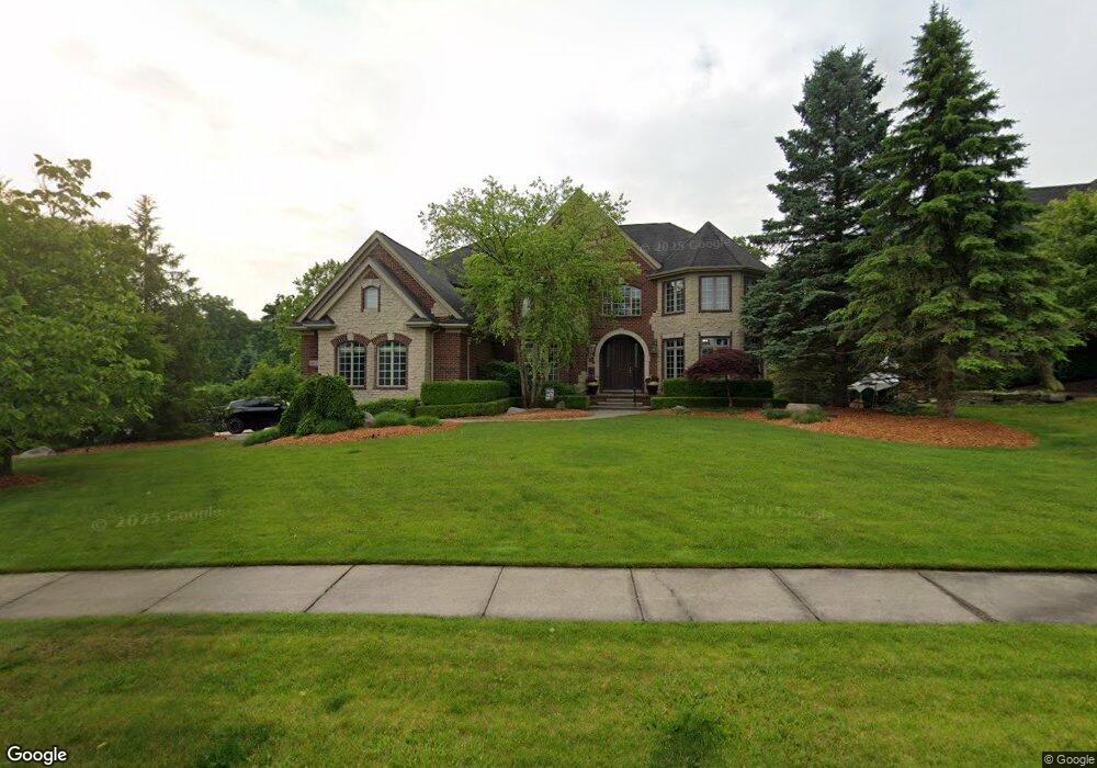
1819 Lincolnshire Dr Unit Bldg-Unit Rochester Hills, MI 48309
Estimated Value: $1,358,322 - $1,834,000
4
Beds
6
Baths
5,130
Sq Ft
$321/Sq Ft
Est. Value
About This Home
This home is located at 1819 Lincolnshire Dr Unit Bldg-Unit, Rochester Hills, MI 48309 and is currently estimated at $1,649,081, approximately $321 per square foot. 1819 Lincolnshire Dr Unit Bldg-Unit is a home located in Oakland County with nearby schools including Meadow Brook Elementary School, West Middle School, and Rochester High School.
Ownership History
Date
Name
Owned For
Owner Type
Purchase Details
Closed on
Jun 5, 2018
Sold by
Bellisario Ronald G and Bellisario Stephanie A
Bought by
Huddleston Scott and Huddleston Elisha
Current Estimated Value
Purchase Details
Closed on
Aug 4, 2005
Sold by
Jensam Llc
Bought by
Bell Real Estate Holdings Inc
Home Financials for this Owner
Home Financials are based on the most recent Mortgage that was taken out on this home.
Original Mortgage
$801,650
Interest Rate
6%
Mortgage Type
Fannie Mae Freddie Mac
Purchase Details
Closed on
Aug 3, 2005
Sold by
Bella Real Estate Holdings Inc
Bought by
Bellisario Ronald G and Bellisario Stephanie A
Home Financials for this Owner
Home Financials are based on the most recent Mortgage that was taken out on this home.
Original Mortgage
$801,650
Interest Rate
6%
Mortgage Type
Fannie Mae Freddie Mac
Create a Home Valuation Report for This Property
The Home Valuation Report is an in-depth analysis detailing your home's value as well as a comparison with similar homes in the area
Home Values in the Area
Average Home Value in this Area
Purchase History
| Date | Buyer | Sale Price | Title Company |
|---|---|---|---|
| Huddleston Scott | $1,000,000 | Devon Title Agency | |
| Bell Real Estate Holdings Inc | -- | -- | |
| Bellisario Ronald G | $225,000 | Devon Title Agency |
Source: Public Records
Mortgage History
| Date | Status | Borrower | Loan Amount |
|---|---|---|---|
| Previous Owner | Bellisario Ronald G | $801,650 |
Source: Public Records
Tax History Compared to Growth
Tax History
| Year | Tax Paid | Tax Assessment Tax Assessment Total Assessment is a certain percentage of the fair market value that is determined by local assessors to be the total taxable value of land and additions on the property. | Land | Improvement |
|---|---|---|---|---|
| 2022 | $9,283 | $542,610 | $0 | $0 |
| 2018 | $12,052 | $437,600 | $0 | $0 |
| 2017 | $11,817 | $428,880 | $0 | $0 |
| 2015 | -- | $458,470 | $0 | $0 |
| 2014 | -- | $436,440 | $0 | $0 |
| 2011 | -- | $339,710 | $0 | $0 |
Source: Public Records
Map
Nearby Homes
- 1699 Lincolnshire Dr
- 1578 Charter Oak Dr
- 1697 Riverside Dr Unit 15
- 1697 Riverside Dr Unit 18
- 1527 Charter Oak Dr Unit 143
- 3906 Thatcher Dr
- 3888 Thatcher Dr
- 580 Mallard St
- 2600 S Christian Hills Dr
- 3875 Andover Ave Unit 14
- 584 Kinglet St
- 3833 Forester Blvd Unit 37
- 3843 Andover Ave
- 3912 Forester Blvd Unit 109
- 3809 Forester Blvd
- 198 Jotham Ave
- 224 Jotham Ave
- 303 Toucan St
- 2142 Kennedy Dr
- 432 Flamingo St
- 1819 Lincolnshire Dr
- 1831 Lincolnshire Dr
- 3479 Lincolnshire Ct
- 3490 Lincolnshire Ct
- 1830 Lincolnshire Dr
- 1812 Lincolnshire Dr
- 1843 Lincolnshire Dr
- 3467 Lincolnshire Ct
- 3478 Lincolnshire Ct
- 1794 Lincolnshire Dr
- 1852 Lincolnshire Dr
- 1787 Lincolnshire Dr
- 1855 Lincolnshire Dr
- 1866 Lincolnshire Dr
- 3970 Piccadilly Dr
- 1776 Lincolnshire Dr
- 1779 Lincolnshire Dr Unit Bldg-Unit
- 1779 Lincolnshire Dr
- 1867 Lincolnshire Dr
- 3952 Piccadilly Dr