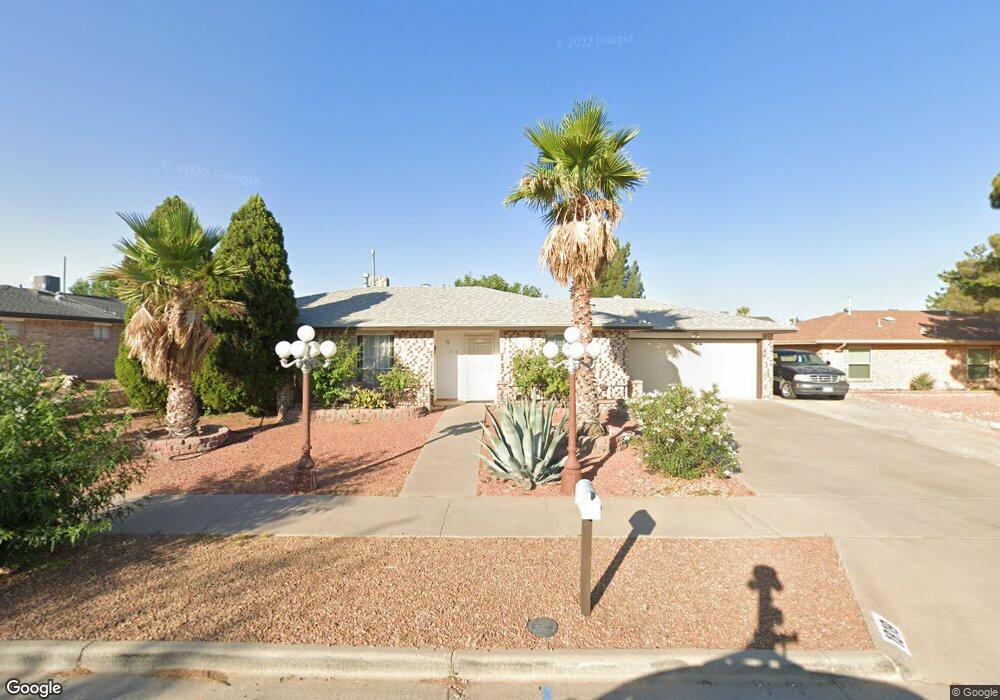
1819 Mike Hill Dr El Paso, TX 79936
Vista Del Sol NeighborhoodEstimated Value: $255,000 - $288,000
3
Beds
2
Baths
1,769
Sq Ft
$150/Sq Ft
Est. Value
About This Home
This home is located at 1819 Mike Hill Dr, El Paso, TX 79936 and is currently estimated at $264,907, approximately $149 per square foot. 1819 Mike Hill Dr is a home located in El Paso County with nearby schools including Tierra Del Sol Elementary School, J M Hanks High School, and Vista Del Futuro Charter School.
Ownership History
Date
Name
Owned For
Owner Type
Purchase Details
Closed on
Apr 23, 2010
Sold by
International Bank
Bought by
Cordero Daniel
Current Estimated Value
Home Financials for this Owner
Home Financials are based on the most recent Mortgage that was taken out on this home.
Original Mortgage
$113,050
Interest Rate
4.88%
Mortgage Type
Seller Take Back
Purchase Details
Closed on
May 12, 2006
Sold by
Toache Francisco and Toache Olga A
Bought by
Lara Hector and Lara Guadalupe
Home Financials for this Owner
Home Financials are based on the most recent Mortgage that was taken out on this home.
Original Mortgage
$129,500
Interest Rate
6.5%
Mortgage Type
Fannie Mae Freddie Mac
Purchase Details
Closed on
Oct 21, 1999
Sold by
Valdez Thomas A and Valdez Rosemary
Bought by
Chenoweth David P
Home Financials for this Owner
Home Financials are based on the most recent Mortgage that was taken out on this home.
Original Mortgage
$70,250
Interest Rate
7.85%
Create a Home Valuation Report for This Property
The Home Valuation Report is an in-depth analysis detailing your home's value as well as a comparison with similar homes in the area
Home Values in the Area
Average Home Value in this Area
Purchase History
| Date | Buyer | Sale Price | Title Company |
|---|---|---|---|
| Cordero Daniel | -- | None Available | |
| Lara Hector | -- | None Available | |
| Chenoweth David P | -- | -- |
Source: Public Records
Mortgage History
| Date | Status | Borrower | Loan Amount |
|---|---|---|---|
| Closed | Cordero Daniel | $113,050 | |
| Previous Owner | Lara Hector | $129,500 | |
| Previous Owner | Chenoweth David P | $70,250 |
Source: Public Records
Tax History Compared to Growth
Tax History
| Year | Tax Paid | Tax Assessment Tax Assessment Total Assessment is a certain percentage of the fair market value that is determined by local assessors to be the total taxable value of land and additions on the property. | Land | Improvement |
|---|---|---|---|---|
| 2025 | $2,676 | $229,060 | -- | -- |
| 2024 | $2,676 | $208,236 | -- | -- |
| 2023 | $2,569 | $189,305 | $0 | $0 |
| 2022 | $5,344 | $172,095 | $0 | $0 |
| 2021 | $5,085 | $166,330 | $31,745 | $134,585 |
| 2020 | $4,492 | $142,227 | $28,814 | $113,413 |
| 2018 | $4,292 | $138,014 | $28,814 | $109,200 |
| 2017 | $3,979 | $130,175 | $28,814 | $101,361 |
| 2016 | $3,635 | $118,913 | $28,814 | $90,099 |
| 2015 | $2,431 | $118,913 | $28,814 | $90,099 |
| 2014 | $2,431 | $121,341 | $28,814 | $92,527 |
Source: Public Records
Map
Nearby Homes
- 1868 Tom Bolt Dr
- 1817 Hugh Royer Place
- 1901 Bobby Jones Dr
- 1913 Seagull Dr
- 11204 Bob Mitchell Dr
- 2001 Bobby Jones Dr Unit A
- 1739 Jerry Abbott St
- 1804 Jerry Abbott St
- 2009 Bobby Jones Dr Unit B
- 11016 Bob Stone Dr
- 11012 Bob Stone Dr
- 1703 Robert Wynn St
- 11013 Bob Stone Dr
- 1617 Tommy Aaron Dr
- 11157 Leo Collins Dr
- 1700 Jerry Abbott St
- 1844 Jack Nicklaus Dr Unit 1846
- 1607 Tommy Aaron Dr
- 11262 Enid Wilson Ln
- 2604 Anise Dr
- 1823 Mike Hill Dr
- 1813 Mike Hill Dr
- 1808 Pete Brown Dr
- 1812 Pete Brown Dr
- 1827 Mike Hill Dr
- 1804 Pete Brown Dr
- 1820 Mike Hill Dr
- 1805 Mike Hill Dr
- 1824 Mike Hill Dr
- 1816 Mike Hill Dr
- 1816 Pete Brown Dr
- 1812 Mike Hill Dr
- 1828 Mike Hill Dr
- 1800 Pete Brown Dr
- 1831 Mike Hill Dr
- 1801 Mike Hill Dr
- 1820 Pete Brown Dr
- 1808 Mike Hill Dr
- 1809 Pete Brown Dr
- 1831 Tom Bolt Dr