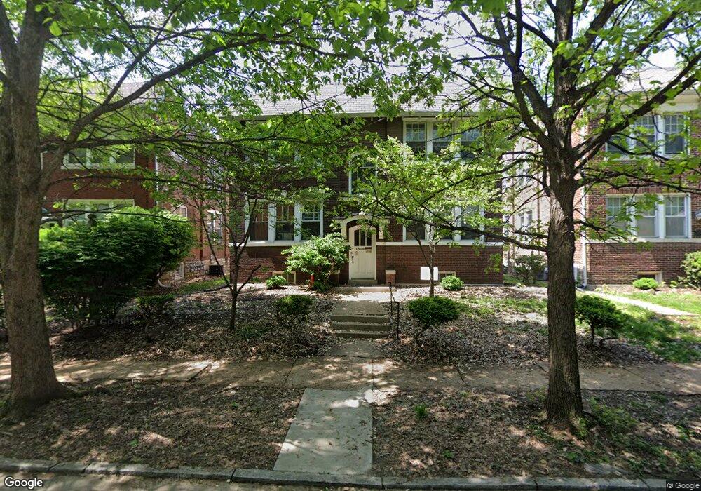
1819 S Newstead Ave Saint Louis, MO 63110
Southwest Garden NeighborhoodEstimated Value: $504,000 - $753,000
--
Bed
4
Baths
3,672
Sq Ft
$164/Sq Ft
Est. Value
About This Home
This home is located at 1819 S Newstead Ave, Saint Louis, MO 63110 and is currently estimated at $602,000, approximately $163 per square foot. 1819 S Newstead Ave is a home located in St. Louis City with nearby schools including Adams Elementary School, Roosevelt High School, and City Garden Montessori Charter School.
Ownership History
Date
Name
Owned For
Owner Type
Purchase Details
Closed on
Nov 14, 2014
Sold by
Wright Floyd K
Bought by
Spencer Real Estate 763 North Llc
Current Estimated Value
Home Financials for this Owner
Home Financials are based on the most recent Mortgage that was taken out on this home.
Original Mortgage
$73,875
Outstanding Balance
$57,026
Interest Rate
4.21%
Mortgage Type
Future Advance Clause Open End Mortgage
Estimated Equity
$544,974
Purchase Details
Closed on
Sep 25, 1998
Sold by
Dillon Mary R
Bought by
Wright Floyd K
Create a Home Valuation Report for This Property
The Home Valuation Report is an in-depth analysis detailing your home's value as well as a comparison with similar homes in the area
Home Values in the Area
Average Home Value in this Area
Purchase History
| Date | Buyer | Sale Price | Title Company |
|---|---|---|---|
| Spencer Real Estate 763 North Llc | -- | None Available | |
| Wright Floyd K | -- | -- |
Source: Public Records
Mortgage History
| Date | Status | Borrower | Loan Amount |
|---|---|---|---|
| Open | Spencer Real Estate 763 North Llc | $73,875 |
Source: Public Records
Tax History Compared to Growth
Tax History
| Year | Tax Paid | Tax Assessment Tax Assessment Total Assessment is a certain percentage of the fair market value that is determined by local assessors to be the total taxable value of land and additions on the property. | Land | Improvement |
|---|---|---|---|---|
| 2025 | $4,857 | $65,280 | $3,420 | $61,860 |
| 2024 | $4,336 | $54,130 | $3,420 | $50,710 |
| 2023 | $4,336 | $54,130 | $3,420 | $50,710 |
| 2022 | $4,282 | $49,100 | $3,420 | $45,680 |
| 2021 | $4,276 | $49,100 | $3,420 | $45,680 |
| 2020 | $4,158 | $48,070 | $3,420 | $44,650 |
| 2019 | $4,143 | $48,070 | $3,420 | $44,650 |
| 2018 | $3,333 | $37,110 | $3,420 | $33,690 |
| 2017 | $3,279 | $37,110 | $3,420 | $33,690 |
| 2016 | $2,855 | $31,690 | $3,420 | $28,270 |
| 2015 | $2,603 | $31,690 | $3,420 | $28,270 |
| 2014 | $1,808 | $31,690 | $3,420 | $28,270 |
| 2013 | -- | $21,910 | $3,420 | $18,490 |
Source: Public Records
Map
Nearby Homes
- 4417 Shaw Blvd
- 4255 Lafayette Ave
- 4236 Mcree Ave
- 4217 Blaine Ave
- 4533 Flad Ave
- 4368 Hunt Ave
- 2100 Portis Ave
- 4139 Shaw Blvd
- 2104 Portis Ave
- 4481 Hunt Ave
- 4479 Hunt Ave
- 4216 Hunt Ave
- 4220 Hunt Ave
- 4139 Russell Blvd
- 4483 Hunt Ave
- 4426 Vista Ave
- 4247 Cleveland Ave
- 1817 Thurman Ave
- 4220 Cleveland Ave
- 4237 Shenandoah Ave
- 1815 S Newstead Ave
- 1825 S Newstead Ave
- 1820 Alfred Ave
- 1816 Alfred Ave
- 1822 Alfred Ave
- 1814 Alfred Ave
- 1826 Alfred Ave
- 4348 de Tonty St
- 1828 Alfred Ave
- 4405 Shaw Blvd
- 4407 Shaw Blvd
- 4401 Shaw Blvd
- 4411 Shaw Blvd
- 4351 Shaw Blvd
- 4415 Shaw Blvd
- 4344 de Tonty St
- 4347 Shaw Blvd
- 4421 Shaw Blvd
- 4343 Shaw Blvd
- 4425 Shaw Blvd