1819 Simeonof St Kodiak, AK 99615
Estimated Value: $441,000 - $475,249
3
Beds
2
Baths
1,900
Sq Ft
$242/Sq Ft
Est. Value
About This Home
This home is located at 1819 Simeonof St, Kodiak, AK 99615 and is currently estimated at $460,750, approximately $242 per square foot. 1819 Simeonof St is a home located in Kodiak Island Borough with nearby schools including St. Mary's School and Kodiak Christian School.
Ownership History
Date
Name
Owned For
Owner Type
Purchase Details
Closed on
Jan 26, 2001
Sold by
Meade Robert J and Meade Rita D
Bought by
Redemption Inc and Island Air Service
Current Estimated Value
Home Financials for this Owner
Home Financials are based on the most recent Mortgage that was taken out on this home.
Original Mortgage
$88,000
Interest Rate
7.41%
Create a Home Valuation Report for This Property
The Home Valuation Report is an in-depth analysis detailing your home's value as well as a comparison with similar homes in the area
Home Values in the Area
Average Home Value in this Area
Purchase History
| Date | Buyer | Sale Price | Title Company |
|---|---|---|---|
| Redemption Inc | -- | -- |
Source: Public Records
Mortgage History
| Date | Status | Borrower | Loan Amount |
|---|---|---|---|
| Closed | Redemption Inc | $88,000 |
Source: Public Records
Tax History Compared to Growth
Tax History
| Year | Tax Paid | Tax Assessment Tax Assessment Total Assessment is a certain percentage of the fair market value that is determined by local assessors to be the total taxable value of land and additions on the property. | Land | Improvement |
|---|---|---|---|---|
| 2025 | $2,415 | $382,100 | $52,400 | $329,700 |
| 2024 | $2,415 | $364,700 | $52,400 | $312,300 |
| 2023 | $2,169 | $327,100 | $43,700 | $283,400 |
| 2022 | $1,738 | $286,300 | $43,700 | $242,600 |
| 2021 | $3,650 | $286,300 | $43,700 | $242,600 |
| 2020 | $3,520 | $276,100 | $43,700 | $232,400 |
| 2019 | $3,482 | $273,100 | $43,700 | $229,400 |
| 2018 | $3,482 | $273,100 | $43,700 | $229,400 |
| 2017 | $3,293 | $258,300 | $43,700 | $214,600 |
| 2016 | -- | $256,700 | $43,700 | $213,000 |
| 2015 | -- | $230,400 | $43,700 | $186,700 |
| 2014 | -- | $230,400 | $43,700 | $186,700 |
| 2013 | -- | $230,400 | $43,700 | $186,700 |
Source: Public Records
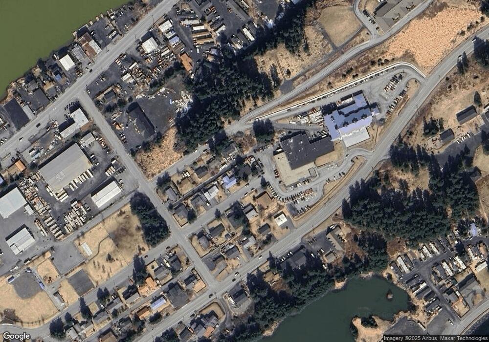
Map
Nearby Homes
- 1815 Chichenof St
- 1716 Selief Ln
- 1614 Selief Ln
- 1411 Mission Rd
- 110 Bancroft Dr
- 1314 Mission Rd
- 1310 Mission Rd
- 1216 Purtov St
- 1011 Willow St
- 821 E Tagura Rd
- 716 Thorsheim St
- 523 Thorsheim St
- 321 Erskine Ave
- 416 Lower Mill Bay Rd
- 3431 Sitkinak Dr
- 307 High St
- 3601 Sharatin Rd
- 285 Lilly Dr
- 3043 Lakeview Dr
- 3043 Lake View Dr
- 1817 Simeonof St
- 1818 Chichenof St
- 1816 Chichenof St
- 1818 Simeonof St
- 1815 Simeonof St
- 1816 Simeonof St
- 1814 Chichenof St
- 1814 Simeonof St
- 1813 Simeonof St
- 1819 E Rezanof Dr
- 1812 Chichenof St
- 1817 E Rezanof Dr
- 1815 E Rezanof Dr
- 1811 Simeonof St
- 213 Bartel Ave
- 1813 E Rezanof Dr
- 1810 Simeonof St
- 1811 E Rezanof Dr
- 1818 E Rezanof Dr
- 110 Bartel Ave