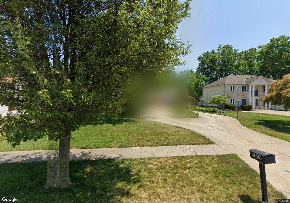
1819 Sperrys Forge Trail Westlake, OH 44145
Estimated Value: $509,000 - $564,000
4
Beds
3
Baths
2,722
Sq Ft
$195/Sq Ft
Est. Value
About This Home
This home is located at 1819 Sperrys Forge Trail, Westlake, OH 44145 and is currently estimated at $530,878, approximately $195 per square foot. 1819 Sperrys Forge Trail is a home located in Cuyahoga County with nearby schools including Dover Intermediate School, Lee Burneson Middle School, and Westlake High School.
Ownership History
Date
Name
Owned For
Owner Type
Purchase Details
Closed on
May 28, 1997
Sold by
Caldwell William R
Bought by
Didonna Vincent and Didonna Susan E
Current Estimated Value
Home Financials for this Owner
Home Financials are based on the most recent Mortgage that was taken out on this home.
Original Mortgage
$175,000
Outstanding Balance
$25,670
Interest Rate
8.27%
Mortgage Type
New Conventional
Estimated Equity
$505,208
Purchase Details
Closed on
Oct 28, 1986
Bought by
Caldwell William R
Purchase Details
Closed on
Jan 1, 1986
Bought by
Hennie Homes Inc
Create a Home Valuation Report for This Property
The Home Valuation Report is an in-depth analysis detailing your home's value as well as a comparison with similar homes in the area
Home Values in the Area
Average Home Value in this Area
Purchase History
| Date | Buyer | Sale Price | Title Company |
|---|---|---|---|
| Didonna Vincent | $272,500 | -- | |
| Caldwell William R | $195,600 | -- | |
| Hennie Homes Inc | -- | -- |
Source: Public Records
Mortgage History
| Date | Status | Borrower | Loan Amount |
|---|---|---|---|
| Open | Didonna Vincent | $175,000 |
Source: Public Records
Tax History
| Year | Tax Paid | Tax Assessment Tax Assessment Total Assessment is a certain percentage of the fair market value that is determined by local assessors to be the total taxable value of land and additions on the property. | Land | Improvement |
|---|---|---|---|---|
| 2024 | $7,473 | $157,745 | $32,760 | $124,985 |
| 2023 | $7,038 | $127,020 | $26,010 | $101,010 |
| 2022 | $6,926 | $127,020 | $26,010 | $101,010 |
| 2021 | $6,935 | $127,020 | $26,010 | $101,010 |
| 2020 | $6,999 | $117,600 | $24,080 | $93,520 |
| 2019 | $6,786 | $336,000 | $68,800 | $267,200 |
| 2018 | $6,816 | $117,600 | $24,080 | $93,520 |
| 2017 | $6,920 | $112,280 | $23,870 | $88,410 |
| 2016 | $6,882 | $112,280 | $23,870 | $88,410 |
| 2015 | $6,260 | $112,280 | $23,870 | $88,410 |
| 2014 | $6,260 | $100,250 | $21,320 | $78,930 |
Source: Public Records
Map
Nearby Homes
- 1925 Reeds Court Trail
- 28163 Zinfandel Ct
- 1725 Merlot Ln
- 1717 Merlot Ln
- 28839 Detroit Rd
- 28883 Detroit Rd
- 28260 Detroit Rd Unit A1
- 2340 Brigadoon Ct
- 28180 Detroit Rd Unit A2
- 28365 Bassett Rd
- 0 Hilliard Blvd Unit 5128276
- 1606 Dover Center Rd
- 2563 Piedmont Ct Unit 22
- 1528 Dover Center Rd
- 123 Vine St Unit 49
- 248 Earley Ln
- 252 Earley Ln
- 256 Earley Ln
- 317 Halstead Ln Unit 27
- 2614 Woodruff Ct
- 1827 Sperrys Forge Trail
- 1811 Sperrys Forge Trail Unit T
- 1811 Sperrys Forge Trail
- 1835 Sperrys Forge Trail
- 1818 Coes Post Run
- 1826 Coes Post Run
- 1810 Coes Post Run
- 28131 Settlers Reserve Way
- 28115 Settlers Reserve Way
- 1834 Coes Post Run
- 28099 Settlers Reserve Way
- 1820 Sperrys Forge Trail
- 1843 Sperrys Forge Trail
- 1812 Sperrys Forge Trail
- 1828 Sperrys Forge Trail
- 28163 Settlers Reserve Way
- 1842 Coes Post Run
- 1836 Sperrys Forge Trail
- 1802 Coes Post Run
- 1851 Sperrys Forge Trail
Your Personal Tour Guide
Ask me questions while you tour the home.