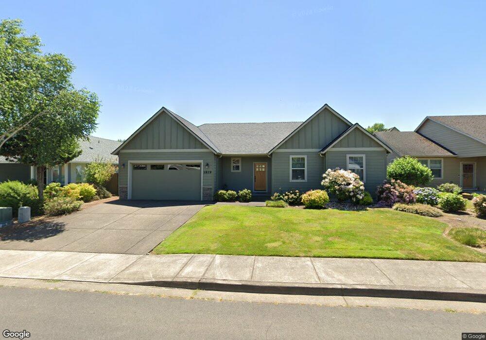
1819 Sterling Dr E Monmouth, OR 97361
Estimated Value: $491,867 - $531,000
3
Beds
2
Baths
1,723
Sq Ft
$296/Sq Ft
Est. Value
About This Home
This home is located at 1819 Sterling Dr E, Monmouth, OR 97361 and is currently estimated at $510,217, approximately $296 per square foot. 1819 Sterling Dr E is a home located in Polk County with nearby schools including Ash Creek Elementary School, Talmadge Middle School, and Central High School.
Ownership History
Date
Name
Owned For
Owner Type
Purchase Details
Closed on
Jul 27, 2022
Sold by
Gardner Colleen J
Bought by
Colleen J Gardner Trust
Current Estimated Value
Purchase Details
Closed on
Jul 10, 2008
Sold by
Tcf Investments Llc
Bought by
Gardner Colleen J
Home Financials for this Owner
Home Financials are based on the most recent Mortgage that was taken out on this home.
Original Mortgage
$222,400
Interest Rate
6.04%
Mortgage Type
Purchase Money Mortgage
Create a Home Valuation Report for This Property
The Home Valuation Report is an in-depth analysis detailing your home's value as well as a comparison with similar homes in the area
Home Values in the Area
Average Home Value in this Area
Purchase History
| Date | Buyer | Sale Price | Title Company |
|---|---|---|---|
| Colleen J Gardner Trust | -- | None Listed On Document | |
| Gardner Colleen J | $278,000 | Ticor Title |
Source: Public Records
Mortgage History
| Date | Status | Borrower | Loan Amount |
|---|---|---|---|
| Previous Owner | Gardner Colleen J | $222,400 |
Source: Public Records
Tax History Compared to Growth
Tax History
| Year | Tax Paid | Tax Assessment Tax Assessment Total Assessment is a certain percentage of the fair market value that is determined by local assessors to be the total taxable value of land and additions on the property. | Land | Improvement |
|---|---|---|---|---|
| 2025 | $4,531 | $274,860 | $81,440 | $193,420 |
| 2024 | $4,531 | $266,860 | $79,070 | $187,790 |
| 2023 | $4,720 | $259,090 | $76,760 | $182,330 |
| 2022 | $4,248 | $251,550 | $74,530 | $177,020 |
| 2021 | $4,200 | $244,230 | $72,360 | $171,870 |
| 2020 | $4,033 | $237,120 | $70,250 | $166,870 |
| 2019 | $3,915 | $230,220 | $68,210 | $162,010 |
| 2018 | $3,781 | $223,520 | $66,220 | $157,300 |
| 2017 | $3,760 | $217,010 | $64,290 | $152,720 |
| 2016 | $3,842 | $210,690 | $62,420 | $148,270 |
| 2015 | $3,673 | $204,560 | $60,600 | $143,960 |
| 2014 | $3,591 | $198,610 | $58,830 | $139,780 |
Source: Public Records
Map
Nearby Homes
- 761 Devonshire Ln
- 709 Sunnycroft Ln
- 782 Edwards Rd S
- 1470 Ash Creek Dr E
- 1466 Ash Creek Dr E
- 235 Edwards Rd S Unit 104
- 1370 Bentley St E
- 355 Jacobson Ct S
- 277 Edwards Rd S
- 277 Edwards Rd S Unit 133
- 1176 Gwinn St E
- 235 Edwards (#104) Rd S Unit 104
- 6120 S 13th St
- 151 Edwards (#46) Rd S Unit 46
- 151 S Edwards (151) Rd
- 750 Beaton Ln
- 101 Edwards Rd S Unit 10-B Rd S
- 6120 S 13th St
- 309 Atwater St S
- 1439 Falcon (-1441) Lp
- 1819 Sterling Dr E
- 1833 Sterling Dr E
- 1824 Denali Dr E
- 1840 Denali Dr E
- 771 Park Place S
- 1847 Sterling Dr E
- 1854 Denali Dr E
- 1826 Sterling Dr E
- 1812 Sterling Dr E
- 1840 Sterling Dr E
- 1861 Sterling Dr E
- 760 Park Place S
- 1870 Denali Dr E
- 752 Park Place S
- 776 Park Place S
- 1854 Sterling Dr E
- 1875 Sterling Dr E
- 744 Park Place S
- 784 Park Place S
- 1827 Denali Dr E