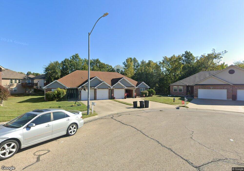
1819 Villa Dr Warrensburg, MO 64093
Estimated Value: $246,468 - $302,000
3
Beds
2
Baths
1,857
Sq Ft
$145/Sq Ft
Est. Value
About This Home
This home is located at 1819 Villa Dr, Warrensburg, MO 64093 and is currently estimated at $269,367, approximately $145 per square foot. 1819 Villa Dr is a home located in Johnson County with nearby schools including Maple Grove Elementary School, Martin Warren Elementary School, and Warrensburg Middle School.
Ownership History
Date
Name
Owned For
Owner Type
Purchase Details
Closed on
Jul 2, 2020
Sold by
Stealth Properties Llc
Bought by
Stealth Properties Llc
Current Estimated Value
Purchase Details
Closed on
Mar 21, 2008
Sold by
Wells Stephen B
Bought by
Stealth Properties Llc
Purchase Details
Closed on
May 8, 2006
Sold by
Sbw Inc
Bought by
Wells Stephen B
Home Financials for this Owner
Home Financials are based on the most recent Mortgage that was taken out on this home.
Original Mortgage
$41,500
Interest Rate
6.56%
Mortgage Type
Stand Alone Second
Create a Home Valuation Report for This Property
The Home Valuation Report is an in-depth analysis detailing your home's value as well as a comparison with similar homes in the area
Home Values in the Area
Average Home Value in this Area
Purchase History
| Date | Buyer | Sale Price | Title Company |
|---|---|---|---|
| Stealth Properties Llc | -- | None Available | |
| Stealth Properties Llc | $97,425 | -- | |
| Wells Stephen B | -- | -- |
Source: Public Records
Mortgage History
| Date | Status | Borrower | Loan Amount |
|---|---|---|---|
| Previous Owner | Wells Stephen B | $41,500 | |
| Previous Owner | Wells Stephen B | $116,200 |
Source: Public Records
Tax History
| Year | Tax Paid | Tax Assessment Tax Assessment Total Assessment is a certain percentage of the fair market value that is determined by local assessors to be the total taxable value of land and additions on the property. | Land | Improvement |
|---|---|---|---|---|
| 2025 | $1,732 | $23,086 | $0 | $0 |
| 2024 | $1,650 | $21,602 | $0 | $0 |
| 2023 | $1,650 | $21,602 | $0 | $0 |
| 2022 | $1,604 | $20,917 | $0 | $0 |
| 2021 | $1,599 | $20,917 | $0 | $0 |
| 2020 | $1,563 | $20,232 | $0 | $0 |
| 2019 | $1,562 | $20,232 | $0 | $0 |
| 2017 | $1,559 | $20,232 | $0 | $0 |
| 2016 | $1,436 | $20,232 | $0 | $0 |
| 2015 | $1,475 | $20,232 | $0 | $0 |
| 2014 | $1,529 | $20,232 | $0 | $0 |
Source: Public Records
Map
Nearby Homes
- 1205 Half Day Dr
- 1219 Pembrooke Dr
- 1219 S Countryview Ln
- 1227 Pembrooke Dr
- 1503 Nottingham Dr
- 1208 Cambridge Dr
- 1206 Cambridge Dr
- 711 Brookside Dr
- 1011 Eli Ln
- 1103 N Eli Ln
- 146 SE 180th Rd
- 991 S Mitchell St
- 411 10th Street Terrace
- 1719 Sunrise Dr
- 1106 S Mitchell St
- 1715 Sunrise Dr
- 21 SE 130 Rd
- 1722 Sunset Dr
- 1007 Vest Dr
- 204 Sellman St
Your Personal Tour Guide
Ask me questions while you tour the home.