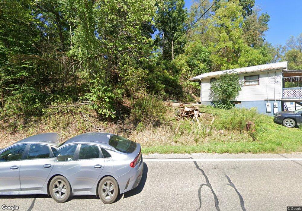
18197 State Route 550 Marietta, OH 45750
Estimated Value: $203,000 - $255,000
2
Beds
2
Baths
1,716
Sq Ft
$127/Sq Ft
Est. Value
About This Home
This home is located at 18197 State Route 550, Marietta, OH 45750 and is currently estimated at $218,177, approximately $127 per square foot. 18197 State Route 550 is a home located in Washington County with nearby schools including Warren High School.
Ownership History
Date
Name
Owned For
Owner Type
Purchase Details
Closed on
Aug 29, 2022
Sold by
West William D and West Peggy S
Bought by
William D And Peggy S West Estate Planning Tr
Current Estimated Value
Purchase Details
Closed on
May 11, 2021
Sold by
Wolfert Kimberly Sue and Wolfert Scott Wayne
Bought by
West William D and West Peggy S
Purchase Details
Closed on
Nov 21, 2001
Bought by
Wolfert Scott Wayne and Wolfert Ki
Purchase Details
Closed on
Apr 30, 1992
Bought by
Congleton Terry J and Congleton Cher
Purchase Details
Closed on
Jun 5, 1990
Bought by
Freeland Keith A and Freeland Ora J
Create a Home Valuation Report for This Property
The Home Valuation Report is an in-depth analysis detailing your home's value as well as a comparison with similar homes in the area
Home Values in the Area
Average Home Value in this Area
Purchase History
| Date | Buyer | Sale Price | Title Company |
|---|---|---|---|
| William D And Peggy S West Estate Planning Tr | $125 | Theisen Brock | |
| West William D | $135,000 | None Available | |
| Wolfert Scott Wayne | $79,000 | -- | |
| Congleton Terry J | $53,000 | -- | |
| Freeland Keith A | $60,000 | -- |
Source: Public Records
Tax History Compared to Growth
Tax History
| Year | Tax Paid | Tax Assessment Tax Assessment Total Assessment is a certain percentage of the fair market value that is determined by local assessors to be the total taxable value of land and additions on the property. | Land | Improvement |
|---|---|---|---|---|
| 2024 | $2,494 | $64,350 | $12,970 | $51,380 |
| 2023 | $2,494 | $64,350 | $12,970 | $51,380 |
| 2022 | $2,488 | $64,350 | $12,970 | $51,380 |
| 2021 | $1,754 | $44,290 | $8,990 | $35,300 |
| 2020 | $1,746 | $44,290 | $8,990 | $35,300 |
| 2019 | $1,727 | $44,290 | $8,990 | $35,300 |
| 2018 | $1,605 | $39,910 | $7,820 | $32,090 |
| 2017 | $1,596 | $39,910 | $7,820 | $32,090 |
| 2016 | $2,031 | $39,910 | $7,820 | $32,090 |
| 2015 | $1,286 | $35,700 | $7,500 | $28,200 |
| 2014 | $1,837 | $35,700 | $7,500 | $28,200 |
| 2013 | $1,284 | $35,700 | $7,500 | $28,200 |
Source: Public Records
Map
Nearby Homes
- 65 High Point Dr
- 20645 Ohio 676
- 375 Belavista Dr
- 100 Pineview Dr
- 116 Pineview Dr
- 565 Lang Farm Rd
- 254 Riggenbach Hill Rd
- 305 Flintwood Dr
- 0 River Rd Unit Lot WP001
- 505 Harbor Point
- 204 Coventry Rd
- 101 Laramie Rd
- 146 Riverview Dr
- 117 Clark St
- 211 Beaver St
- 188 Greenbrier Ave
- 0 Orange Dr
- 9 Henderson Ln
- 645 Pearl Street Extension
- 101 High St
- 18185 State Route 550
- 18179 State Route 550
- 18191 State Route 550
- 18173 State Route 550
- 18165 State Route 550
- 18155 State Route 550
- 18305 State Route 550
- 18077 State Route 550
- 18097 State Route 550
- 18033 State Route 550
- 18352 State Route 550
- 17949 State Route 550
- 17990 State Route 550
- 960 Coffman Rd
- 18401 State Route 550
- 18401 State Route 550
- 17941 State Route 550
- 17964 Ohio 550
- 690 Coffman Rd
- 17920 State Route 550