182 Best View Ln Pulaski, PA 16143
Estimated Value: $272,000 - $300,000
4
Beds
2
Baths
2,160
Sq Ft
$131/Sq Ft
Est. Value
About This Home
This home is located at 182 Best View Ln, Pulaski, PA 16143 and is currently estimated at $283,602, approximately $131 per square foot. 182 Best View Ln is a home located in Lawrence County with nearby schools including Wilmington Area Elementary School, Wilmington Area Middle School, and Wilmington Area High School.
Ownership History
Date
Name
Owned For
Owner Type
Purchase Details
Closed on
Jan 27, 2023
Sold by
Rannard Ronald J and Rannard Tammi L
Bought by
Rannard Ronald J and Rannard Cody James
Current Estimated Value
Purchase Details
Closed on
May 2, 2014
Sold by
Mcfall Cathryn S and Mcfall Daniel
Bought by
Rannard Ronald J and Rannard Tammi L
Purchase Details
Closed on
Jun 24, 2005
Sold by
Rannard Ronald J
Bought by
Rannard Ronald J and Mcfall Cathryn S
Purchase Details
Closed on
May 17, 2005
Sold by
Rannard Ronald J and Rannard Tammi
Bought by
Rannard Ronald J
Create a Home Valuation Report for This Property
The Home Valuation Report is an in-depth analysis detailing your home's value as well as a comparison with similar homes in the area
Home Values in the Area
Average Home Value in this Area
Purchase History
| Date | Buyer | Sale Price | Title Company |
|---|---|---|---|
| Rannard Ronald J | -- | -- | |
| Rannard Ronald J | -- | None Available | |
| Rannard Ronald J | -- | None Available | |
| Rannard Ronald J | -- | None Available |
Source: Public Records
Tax History Compared to Growth
Tax History
| Year | Tax Paid | Tax Assessment Tax Assessment Total Assessment is a certain percentage of the fair market value that is determined by local assessors to be the total taxable value of land and additions on the property. | Land | Improvement |
|---|---|---|---|---|
| 2025 | $3,757 | $139,400 | $39,100 | $100,300 |
| 2024 | $3,604 | $139,400 | $39,100 | $100,300 |
| 2023 | $3,604 | $139,400 | $39,100 | $100,300 |
| 2022 | $3,519 | $136,100 | $39,100 | $97,000 |
| 2021 | $3,519 | $136,100 | $39,100 | $97,000 |
| 2020 | $3,519 | $136,100 | $39,100 | $97,000 |
| 2019 | $3,383 | $136,100 | $39,100 | $97,000 |
| 2018 | $3,313 | $136,100 | $39,100 | $97,000 |
| 2017 | $3,270 | $136,100 | $39,100 | $97,000 |
| 2016 | $1,029 | $136,100 | $39,100 | $97,000 |
| 2015 | $1,029 | $136,100 | $39,100 | $97,000 |
| 2014 | $1,029 | $136,100 | $39,100 | $97,000 |
Source: Public Records
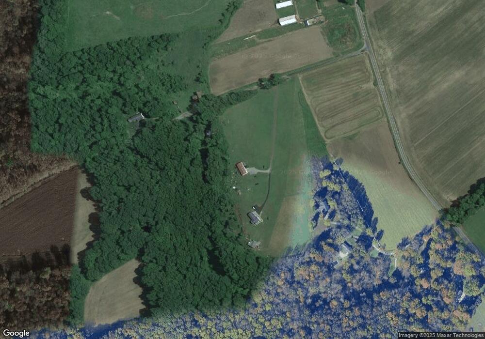
Map
Nearby Homes
- 1946 State Route 208
- 2461 Marr Rd
- 8240 Mercer St
- 5216 Old Pulaski Rd
- 400 Oak Hill Rd
- 1094 Pine Glenn Rd
- 57 Wagon Wheel Ct
- 4217 Hillsville Rd
- 720 Cherriwood Rd
- 987 Cherriwood Rd
- 249 Trolly Ln
- 6453 Old Pulaski Rd
- 4553 Marr Rd
- 485 Campground Rd
- 3821 Evergreen Rd
- 4109 High Hill Rd
- 214 Raptor Cir
- 3746 Matthews Rd
- 334 Dutch Ln
- Lot 28 Wheatland Rd
- 1748 Topper Hill Rd
- 248 Best View Ln
- 1753 Topper Hill Rd
- 202 Thompson Ln
- 1693 Topper Hill Rd
- 203 Thompson Ln
- 1585 Topper Hill Rd
- 179 Thompson Ln
- 157 Thompson Ln
- 7747 State Route 551
- 7757 State Route 551
- 7615 State Route 551
- 1447 Topper Hill Rd
- 1407 Topper Hill Rd
- 7569 State Route 551
- 1351 Topper Hill Rd
- 7547 State Route 551
- 1327 Topper Hill Rd
- 1315 Topper Hill Rd
- 7535 State Route 551