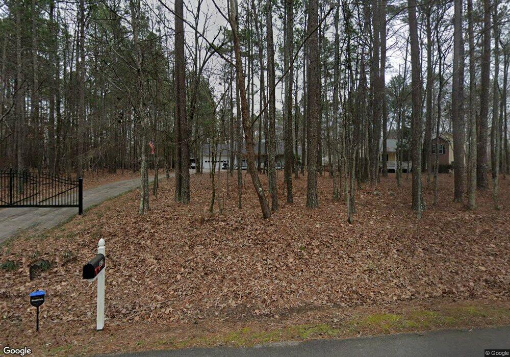
182 Boulder Rd Kingston, GA 30145
Estimated Value: $310,000 - $469,000
Studio
--
Bath
1,500
Sq Ft
$250/Sq Ft
Est. Value
About This Home
This home is located at 182 Boulder Rd, Kingston, GA 30145 and is currently estimated at $374,529, approximately $249 per square foot. 182 Boulder Rd is a home located in Floyd County with nearby schools including Model Middle School and Model High School.
Ownership History
Date
Name
Owned For
Owner Type
Purchase Details
Closed on
Mar 27, 2014
Sold by
Brooks Tammy M
Bought by
Brooks Bradley A
Current Estimated Value
Purchase Details
Closed on
Jul 16, 2004
Sold by
Austin Greg
Bought by
Brooks Bradley A and Brooks Tammy M
Purchase Details
Closed on
Jan 22, 2004
Sold by
Grogan Jack and Brenda Grogan
Bought by
Austin Greg
Purchase Details
Closed on
Jul 1, 2000
Sold by
Montgomery J Greg
Bought by
Grogan Jack and Brenda Grogan
Purchase Details
Closed on
May 26, 2000
Bought by
Montgomery J Greg
Create a Home Valuation Report for This Property
The Home Valuation Report is an in-depth analysis detailing your home's value as well as a comparison with similar homes in the area
Home Values in the Area
Average Home Value in this Area
Purchase History
| Date | Buyer | Sale Price | Title Company |
|---|---|---|---|
| Brooks Bradley A | -- | -- | |
| Brooks Bradley A | $121,000 | -- | |
| Austin Greg | $32,000 | -- | |
| Grogan Jack | $24,400 | -- | |
| Montgomery J Greg | -- | -- |
Source: Public Records
Tax History
| Year | Tax Paid | Tax Assessment Tax Assessment Total Assessment is a certain percentage of the fair market value that is determined by local assessors to be the total taxable value of land and additions on the property. | Land | Improvement |
|---|---|---|---|---|
| 2025 | $2,800 | $137,632 | $16,038 | $121,594 |
| 2024 | $2,800 | $135,054 | $14,256 | $120,798 |
| 2023 | $1,931 | $81,746 | $12,960 | $68,786 |
| 2022 | $1,721 | $67,011 | $10,282 | $56,729 |
| 2021 | $1,623 | $60,115 | $9,352 | $50,763 |
| 2020 | $1,574 | $56,790 | $8,132 | $48,658 |
| 2019 | $1,517 | $54,658 | $8,132 | $46,526 |
| 2018 | $1,471 | $52,077 | $7,745 | $44,332 |
| 2017 | $1,375 | $48,789 | $7,171 | $41,618 |
| 2016 | $1,378 | $48,342 | $7,160 | $41,182 |
| 2015 | $1,349 | $48,342 | $7,160 | $41,182 |
| 2014 | $1,349 | $48,342 | $7,160 | $41,182 |
Source: Public Records
Map
Nearby Homes
- 0 Mcclain Rd Unit 10537234
- 676 Flowery Branch Rd
- 159 Ward Mountain Rd
- 96 Collins Rd NE
- 851 Barnsley Garden Rd
- 2878 E Hermitage Rd
- 919 Ward Mountain Rd
- 1799 Wayside Rd
- 1746 Wayside Rd
- 0 Galway Dr NE
- 147 Youngs Mill Rd
- 0 Flowery Branch Rd Unit 7684237
- 0 Flowery Branch Rd Unit 10651048
- 4 Cohutta Ct
- 39 Fieldstone Dr NE
- 0 E Hermitage Unit 26083645
- 350 Galway Dr
- 32 Fieldstone Dr NE
- 0 Ireland Dr NE Unit 7718178
- 0 Ireland Dr NE Unit 10688351
- 172 Boulder Rd
- 210 Boulder Rd
- 144 Boulder Rd
- 0 Boulder Rd Unit 8935660
- 0 Boulder Rd
- 135 Boulder Rd
- 155 Boulder Rd
- 130 Boulder Rd
- 233 Boulder Rd
- 255 Boulder Rd
- 121 Boulder Rd
- 108 Boulder Rd
- 247 Boulder Rd
- 89 Boulder Rd
- 310 Boulder Rd
- 90 Boulder Rd
- 414 Mcclain Rd
- 414 Mcclain Rd
- 354 Mcclain Rd
- 430 Mcclain Rd
Your Personal Tour Guide
Ask me questions while you tour the home.