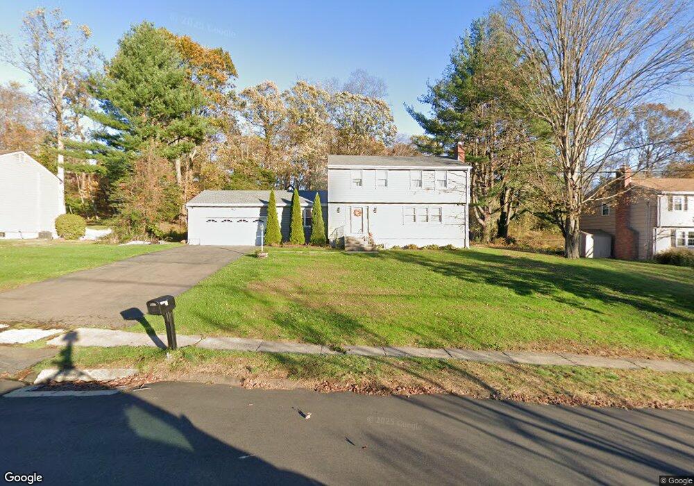
182 Braeside Dr Hamden, CT 06514
Estimated Value: $443,560 - $561,000
4
Beds
3
Baths
2,088
Sq Ft
$236/Sq Ft
Est. Value
About This Home
This home is located at 182 Braeside Dr, Hamden, CT 06514 and is currently estimated at $493,140, approximately $236 per square foot. 182 Braeside Dr is a home located in New Haven County with nearby schools including Hamden Middle School, Hamden High School, and Laurel Oaks Adventist School.
Ownership History
Date
Name
Owned For
Owner Type
Purchase Details
Closed on
Mar 13, 2007
Sold by
Hinton Jennifer and Hinton Donald
Bought by
Alexander Leslie and Alexander Akil E
Current Estimated Value
Home Financials for this Owner
Home Financials are based on the most recent Mortgage that was taken out on this home.
Original Mortgage
$370,500
Interest Rate
6.3%
Purchase Details
Closed on
Jan 10, 2005
Sold by
Bik Jeffrey Y and Bik June H
Bought by
Dillon Jennifer
Purchase Details
Closed on
Oct 3, 2001
Sold by
Bertazzo Ralph and Bertazzo Rhona
Bought by
Bik Jeffrey Y and Bik June H
Create a Home Valuation Report for This Property
The Home Valuation Report is an in-depth analysis detailing your home's value as well as a comparison with similar homes in the area
Home Values in the Area
Average Home Value in this Area
Purchase History
| Date | Buyer | Sale Price | Title Company |
|---|---|---|---|
| Alexander Leslie | $390,000 | -- | |
| Dillon Jennifer | $310,000 | -- | |
| Bik Jeffrey Y | $215,000 | -- |
Source: Public Records
Mortgage History
| Date | Status | Borrower | Loan Amount |
|---|---|---|---|
| Open | Bik Jeffrey Y | $350,340 | |
| Closed | Bik Jeffrey Y | $370,500 | |
| Previous Owner | Bik Jeffrey Y | $253,012 |
Source: Public Records
Tax History
| Year | Tax Paid | Tax Assessment Tax Assessment Total Assessment is a certain percentage of the fair market value that is determined by local assessors to be the total taxable value of land and additions on the property. | Land | Improvement |
|---|---|---|---|---|
| 2025 | $13,934 | $268,590 | $62,160 | $206,430 |
| 2024 | $10,031 | $180,390 | $43,540 | $136,850 |
| 2023 | $10,170 | $180,390 | $43,540 | $136,850 |
| 2022 | $10,008 | $180,390 | $43,540 | $136,850 |
| 2021 | $9,460 | $180,390 | $43,540 | $136,850 |
| 2020 | $9,762 | $187,810 | $75,880 | $111,930 |
| 2019 | $9,176 | $187,810 | $75,880 | $111,930 |
| 2018 | $9,007 | $187,810 | $75,880 | $111,930 |
| 2017 | $8,500 | $187,810 | $75,880 | $111,930 |
| 2016 | $8,519 | $187,810 | $75,880 | $111,930 |
| 2015 | $8,380 | $205,030 | $84,350 | $120,680 |
| 2014 | $8,187 | $205,030 | $84,350 | $120,680 |
Source: Public Records
Map
Nearby Homes
- 175 Mill Pond Rd Unit 106
- 5 Shepard Hill Rd
- 136 Shepard Ave Unit 136
- 900 Mix Ave Unit 69
- 900 Mix Ave Unit 123
- 114 Colony St
- 4 Raccio Park Rd
- 33 Sky View Cir
- 25 Hamden Hills Dr Unit 69
- 25 Hamden Hills Dr Unit 72
- 51 Evergreen Ave
- 2831 Dixwell Ave
- 147 Centerbrook Rd
- 172 Towne House Rd
- 93 Centerbrook Rd
- 150 Towne House Rd Unit 150
- 37 Towne House Rd
- 32 Towne House Rd Unit 32
- 46 Forest Ct N
- 141 Worth Ave
Your Personal Tour Guide
Ask me questions while you tour the home.