Estimated Value: $863,000 - $1,058,000
Studio
--
Bath
2,758
Sq Ft
$338/Sq Ft
Est. Value
About This Home
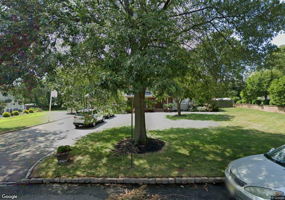
This home is located at 182 Briarheath Ln, Clark, NJ 07066 and is currently estimated at $931,728, approximately $337 per square foot. 182 Briarheath Ln is a home located in Union County with nearby schools including Frank K. Hehnly Elementary School, Carl H. Kumpf Middle School, and Arthur L. Johnson High School.
Ownership History
Date
Name
Owned For
Owner Type
Purchase Details
Closed on
Jun 26, 2019
Sold by
Sot Michael E
Bought by
Sot Michael E and Sot Fabio Janaine
Current Estimated Value
Purchase Details
Closed on
Jun 1, 2018
Sold by
Sot Candice and Buno Sot Candice
Bought by
Sot Michael E
Home Financials for this Owner
Home Financials are based on the most recent Mortgage that was taken out on this home.
Original Mortgage
$389,702
Outstanding Balance
$339,780
Interest Rate
4.87%
Mortgage Type
FHA
Estimated Equity
$591,948
Purchase Details
Closed on
May 28, 1998
Sold by
Sot Edward J and Sot Carolyn
Bought by
Sot Michael E and Sot Candice C
Home Financials for this Owner
Home Financials are based on the most recent Mortgage that was taken out on this home.
Original Mortgage
$190,000
Interest Rate
7%
Create a Home Valuation Report for This Property
The Home Valuation Report is an in-depth analysis detailing your home's value as well as a comparison with similar homes in the area
Home Values in the Area
Average Home Value in this Area
Purchase History
| Date | Buyer | Sale Price | Title Company |
|---|---|---|---|
| Sot Michael E | -- | None Available | |
| Sot Michael E | $158,349 | Westcor Land Title Ins Co | |
| Sot Michael E | $275,000 | -- |
Source: Public Records
Mortgage History
| Date | Status | Borrower | Loan Amount |
|---|---|---|---|
| Open | Sot Michael E | $389,702 | |
| Previous Owner | Sot Michael E | $190,000 |
Source: Public Records
Tax History
| Year | Tax Paid | Tax Assessment Tax Assessment Total Assessment is a certain percentage of the fair market value that is determined by local assessors to be the total taxable value of land and additions on the property. | Land | Improvement |
|---|---|---|---|---|
| 2025 | $16,184 | $731,000 | $324,000 | $407,000 |
| 2024 | $15,943 | $731,000 | $324,000 | $407,000 |
| 2023 | $15,943 | $731,000 | $324,000 | $407,000 |
| 2022 | $15,483 | $731,000 | $324,000 | $407,000 |
| 2021 | $15,842 | $178,200 | $56,200 | $122,000 |
| 2020 | $15,584 | $178,200 | $56,200 | $122,000 |
| 2019 | $15,427 | $178,200 | $56,200 | $122,000 |
| 2018 | $15,241 | $178,200 | $56,200 | $122,000 |
| 2017 | $14,997 | $178,200 | $56,200 | $122,000 |
| 2016 | $14,445 | $178,200 | $56,200 | $122,000 |
| 2015 | $14,299 | $178,200 | $56,200 | $122,000 |
| 2014 | $13,998 | $178,200 | $56,200 | $122,000 |
Source: Public Records
Map
Nearby Homes
- 172 Briarheath Ln
- 64 William St
- 8 Normandy Rd
- 131 Morningside Rd
- 372 Willow Way
- 125 Kimberly Rd
- 24 Woodland Rd
- 99 Cameo Place
- 34 E Prescott Ave
- 53 Jordan Rd
- 1033 Cellar Ave Unit 1033
- 155 Meadow Rd
- 20 Alastair Place
- 675 Raritan Rd Unit 12
- 27 Stemmer Dr
- 973 Ellis Pkwy
- 8 Maddaket
- 265 W Prescott Ave
- 112 W Willow St
- 868 Inman Ave
- 188 Briarheath Ln
- 183 Hawthorne Dr
- 187 Hawthorne Dr
- 195 Hawthorne Dr
- 179 Hawthorne Dr
- 25 Orchard Terrace
- 175 Briarheath Ln
- 203 Hawthorne Dr
- 164 Briarheath Ln
- 196 Briarheath Ln
- 187 Briarheath Ln
- 165 Briarheath Ln
- 211 Hawthorne Dr
- 89 Grove St
- 156 Briarheath Ln
- 204 Briarheath Ln
- 159 Briarheath Ln
- 205 Briarheath Ln
- 23 Orchard Terrace
- 219 Hawthorne Dr
Your Personal Tour Guide
Ask me questions while you tour the home.