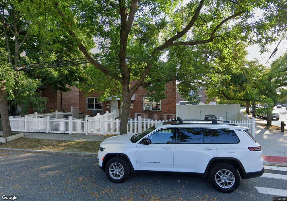
182 Brinsmade Ave Bronx, NY 10465
Throgs Neck-Edgewater Park NeighborhoodEstimated Value: $766,341 - $1,042,000
Studio
--
Bath
2,838
Sq Ft
$323/Sq Ft
Est. Value
About This Home
This home is located at 182 Brinsmade Ave, Bronx, NY 10465 and is currently estimated at $915,585, approximately $322 per square foot. 182 Brinsmade Ave is a home located in Bronx County with nearby schools including P.S. 72 - Dr. William Dorney, Herbert H Lehman High School, and St. Frances de Chantal School.
Ownership History
Date
Name
Owned For
Owner Type
Purchase Details
Closed on
Mar 29, 2011
Sold by
182 Brinsmade Avenue Llc
Bought by
Guzman George
Current Estimated Value
Home Financials for this Owner
Home Financials are based on the most recent Mortgage that was taken out on this home.
Original Mortgage
$461,984
Outstanding Balance
$308,057
Interest Rate
4.25%
Mortgage Type
FHA
Estimated Equity
$607,528
Purchase Details
Closed on
Jul 27, 2005
Sold by
Schlockman Donna M
Bought by
182 Brinsmade Avenue Llc
Purchase Details
Closed on
Mar 14, 1998
Sold by
Schlockman David P and Schlockman Donna M
Bought by
Schlockman Donna M
Create a Home Valuation Report for This Property
The Home Valuation Report is an in-depth analysis detailing your home's value as well as a comparison with similar homes in the area
Home Values in the Area
Average Home Value in this Area
Purchase History
| Date | Buyer | Sale Price | Title Company |
|---|---|---|---|
| Guzman George | $474,000 | -- | |
| Guzman George | $474,000 | -- | |
| 182 Brinsmade Avenue Llc | -- | -- | |
| 182 Brinsmade Avenue Llc | -- | -- | |
| Schlockman Donna M | -- | Washington Title Insurance C | |
| Schlockman Donna M | -- | Washington Title Insurance C |
Source: Public Records
Mortgage History
| Date | Status | Borrower | Loan Amount |
|---|---|---|---|
| Open | Guzman George | $461,984 | |
| Closed | Guzman George | $461,984 |
Source: Public Records
Tax History
| Year | Tax Paid | Tax Assessment Tax Assessment Total Assessment is a certain percentage of the fair market value that is determined by local assessors to be the total taxable value of land and additions on the property. | Land | Improvement |
|---|---|---|---|---|
| 2025 | $7,823 | $42,769 | $7,482 | $35,287 |
| 2024 | $7,823 | $40,349 | $8,125 | $32,224 |
| 2023 | $7,910 | $40,349 | $7,363 | $32,986 |
| 2022 | $7,374 | $40,860 | $8,880 | $31,980 |
| 2021 | $7,407 | $42,900 | $8,880 | $34,020 |
| 2020 | $7,248 | $41,280 | $8,880 | $32,400 |
| 2019 | $6,741 | $40,200 | $8,880 | $31,320 |
| 2018 | $6,557 | $33,624 | $6,609 | $27,015 |
| 2017 | $6,219 | $31,980 | $8,880 | $23,100 |
| 2016 | $5,793 | $30,528 | $8,461 | $22,067 |
| 2015 | $3,378 | $29,701 | $8,828 | $20,873 |
| 2014 | $3,378 | $28,020 | $9,060 | $18,960 |
Source: Public Records
Map
Nearby Homes
- 192 Huntington Ave
- 2816 Collis Place
- 2819 Collis Place
- 2832 Harding Ave
- 238 Swinton Ave
- 239 Brinsmade Ave
- 206-208 Balcom Ave
- 2829 Schurz Ave
- 252 Brinsmade Ave
- 227 Calhoun Ave
- 249 Quincy Ave
- 250 Huntington Ave
- 260 Swinton Ave
- 220 Calhoun Ave
- 149 Revere Ave
- 249 Calhoun Ave
- 276 Brinsmade Ave
- 156 Revere Ave
- 242 Graff Ave
- 280 Balcom Ave
- 182 Brinsmade Ave Unit 2
- 184 Brinsmade Ave
- 186 Brinsmade Ave
- 186 Brinsmade Ave Unit 1
- 186 Brinsmade Ave Unit 2
- 188 Brinsmade Ave
- 185 Swinton Ave
- 187 Swinton Ave
- 2789 Schurz Ave
- 190 Brinsmade Ave
- 191 Swinton Ave
- 193 Swinton Ave
- 192 Brinsmade Ave
- 2769 Schurz Ave
- 195 Swinton Ave
- 194 Brinsmade Ave
- 197 Swinton Ave
- 2765 Schurz Ave
- 196 Brinsmade Ave
- 199 Swinton Ave
Your Personal Tour Guide
Ask me questions while you tour the home.