182 Byram Shore Rd Greenwich, CT 06830
Byram NeighborhoodEstimated Value: $2,581,000 - $4,251,173
3
Beds
3
Baths
2,086
Sq Ft
$1,625/Sq Ft
Est. Value
About This Home
This home is located at 182 Byram Shore Rd, Greenwich, CT 06830 and is currently estimated at $3,390,543, approximately $1,625 per square foot. 182 Byram Shore Rd is a home located in Fairfield County with nearby schools including New Lebanon School, Western Middle School, and Greenwich High School.
Ownership History
Date
Name
Owned For
Owner Type
Purchase Details
Closed on
Nov 12, 2019
Sold by
Kittle Ralph W
Bought by
Puck Development Llc
Current Estimated Value
Purchase Details
Closed on
Apr 9, 2015
Sold by
Kittle Ralph W and Kittle Laurette I
Bought by
Kittle 3Rd Ralph W
Home Financials for this Owner
Home Financials are based on the most recent Mortgage that was taken out on this home.
Original Mortgage
$900,000
Interest Rate
3.77%
Purchase Details
Closed on
Jun 1, 2011
Sold by
Lateiner L W
Bought by
Kittle Ralph Wade and Kittle Laurette I
Home Financials for this Owner
Home Financials are based on the most recent Mortgage that was taken out on this home.
Original Mortgage
$699,000
Interest Rate
5.13%
Purchase Details
Closed on
Jul 20, 1999
Sold by
Murphy Michael and Murphy Barbara
Bought by
Lateiner Lw
Create a Home Valuation Report for This Property
The Home Valuation Report is an in-depth analysis detailing your home's value as well as a comparison with similar homes in the area
Home Values in the Area
Average Home Value in this Area
Purchase History
| Date | Buyer | Sale Price | Title Company |
|---|---|---|---|
| Puck Development Llc | -- | -- | |
| Kittle 3Rd Ralph W | $1,200,000 | -- | |
| Kittle Ralph Wade | $1,165,000 | -- | |
| Lateiner Lw | $852,000 | -- |
Source: Public Records
Mortgage History
| Date | Status | Borrower | Loan Amount |
|---|---|---|---|
| Previous Owner | Lateiner Lw | $250,000 | |
| Previous Owner | Lateiner Lw | $900,000 | |
| Previous Owner | Lateiner Lw | $699,000 |
Source: Public Records
Tax History Compared to Growth
Tax History
| Year | Tax Paid | Tax Assessment Tax Assessment Total Assessment is a certain percentage of the fair market value that is determined by local assessors to be the total taxable value of land and additions on the property. | Land | Improvement |
|---|---|---|---|---|
| 2025 | $17,371 | $1,405,530 | $612,290 | $793,240 |
| 2024 | $16,776 | $1,405,530 | $612,290 | $793,240 |
| 2023 | $16,355 | $1,405,530 | $612,290 | $793,240 |
| 2022 | $16,206 | $1,405,530 | $612,290 | $793,240 |
| 2021 | $13,485 | $1,120,000 | $396,480 | $723,520 |
| 2020 | $11,632 | $967,680 | $396,480 | $571,200 |
| 2019 | $8,993 | $740,740 | $396,480 | $344,260 |
| 2018 | $9,163 | $740,740 | $396,480 | $344,260 |
| 2017 | $8,903 | $740,740 | $396,480 | $344,260 |
| 2016 | $8,762 | $740,740 | $396,480 | $344,260 |
| 2015 | $7,744 | $652,820 | $523,950 | $128,870 |
| 2014 | $7,589 | $652,820 | $523,950 | $128,870 |
Source: Public Records
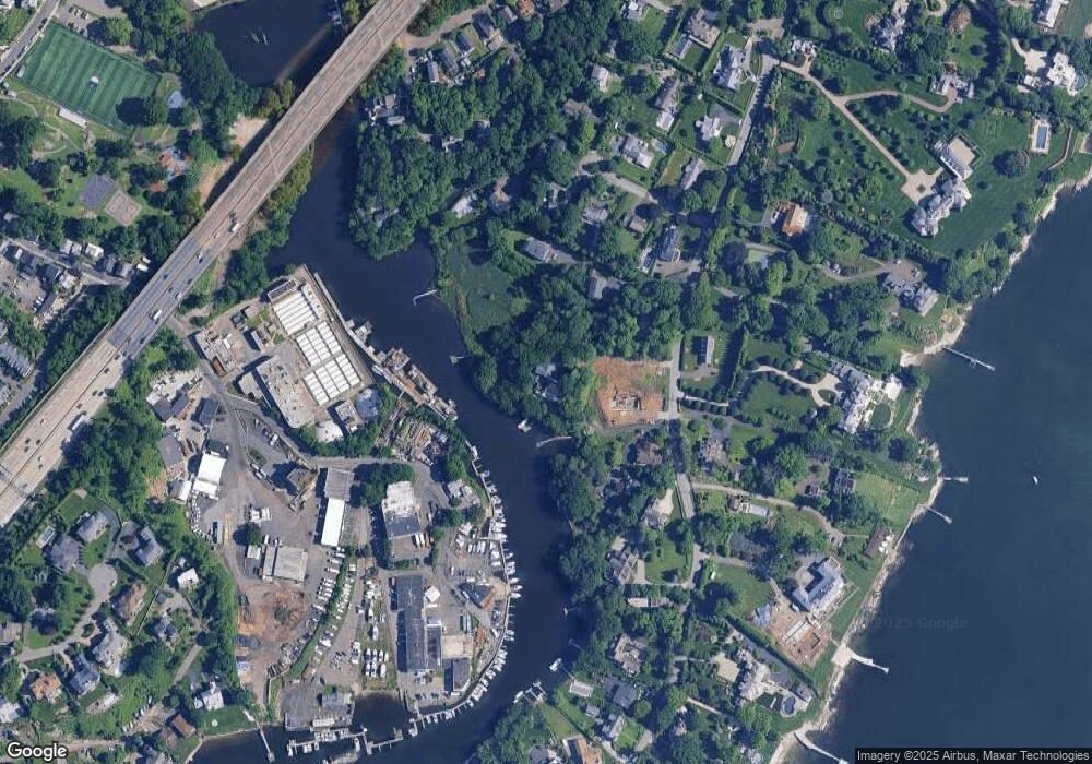
Map
Nearby Homes
- 9 Harbor Dr
- 3 River Ave Unit 1A
- 27 Fox Island Rd
- 33 Alto Ave
- 42 Mead Ave
- 17 Edgar Place
- 6 N Island Dr
- 9 S Water St
- 291 Delavan Ave
- 18 Beech St
- 47 Smith St
- 25 Henry St Unit B
- 347 Delavan Ave
- 43 Oak St
- 111 Washington St
- 0 Byram Shore Rd Unit 123080
- 43 Washington St
- 1 Landmark Square Unit 233
- 1 Landmark Square Unit 411
- 1 Landmark Square Unit 530
- 180 & 180a Byram Shore Rd
- 184 Byram Shore Rd
- 180 & 180A Byram Shore Rd
- 176 Byram Shore Rd
- 180 Byram Shore Rd
- 180&A Byram Shore Rd
- 180 Byram Shore Rd
- 178 Byram Shore Rd
- 190 Byram Shore Rd
- 174 Byram Shore Rd
- 192 Byram Shore Rd
- 181 Byram Shore Rd
- 99 Fox Island Rd
- 1 Candlelight Place
- 11 Candlelight Place
- 5 Candlelight Place
- 172 Byram Shore Rd
- 172 Byram Shore Rd
- 196 Byram Shore Rd
- 17 Candlelight Place