182 Coles Ledge Rd Barnstead, NH 03218
Estimated Value: $997,000 - $1,399,000
3
Beds
6
Baths
2,923
Sq Ft
$400/Sq Ft
Est. Value
About This Home
This home is located at 182 Coles Ledge Rd, Barnstead, NH 03218 and is currently estimated at $1,169,668, approximately $400 per square foot. 182 Coles Ledge Rd is a home with nearby schools including Barnstead Elementary School and Prospect Mountain High School.
Ownership History
Date
Name
Owned For
Owner Type
Purchase Details
Closed on
Aug 30, 2004
Sold by
Lakeview Rt
Bought by
Puckhaber John and Puckhaber Deborah J
Current Estimated Value
Home Financials for this Owner
Home Financials are based on the most recent Mortgage that was taken out on this home.
Original Mortgage
$432,000
Outstanding Balance
$205,276
Interest Rate
6.02%
Mortgage Type
Purchase Money Mortgage
Estimated Equity
$964,392
Purchase Details
Closed on
Jun 2, 2003
Sold by
Linstrom Lewis
Bought by
Brigida Michael and Brigida Diane L
Home Financials for this Owner
Home Financials are based on the most recent Mortgage that was taken out on this home.
Original Mortgage
$105,000
Interest Rate
5.86%
Mortgage Type
Purchase Money Mortgage
Purchase Details
Closed on
Dec 13, 1996
Sold by
Orourke Leontine
Bought by
Ingenere Samuel
Home Financials for this Owner
Home Financials are based on the most recent Mortgage that was taken out on this home.
Original Mortgage
$320,000
Interest Rate
7.75%
Mortgage Type
Purchase Money Mortgage
Create a Home Valuation Report for This Property
The Home Valuation Report is an in-depth analysis detailing your home's value as well as a comparison with similar homes in the area
Home Values in the Area
Average Home Value in this Area
Purchase History
| Date | Buyer | Sale Price | Title Company |
|---|---|---|---|
| Puckhaber John | $540,000 | -- | |
| Brigida Michael | $500,000 | -- | |
| Ingenere Samuel | $415,000 | -- |
Source: Public Records
Mortgage History
| Date | Status | Borrower | Loan Amount |
|---|---|---|---|
| Open | Ingenere Samuel | $150,000 | |
| Open | Ingenere Samuel | $432,000 | |
| Previous Owner | Ingenere Samuel | $105,000 | |
| Previous Owner | Ingenere Samuel | $320,000 |
Source: Public Records
Tax History
| Year | Tax Paid | Tax Assessment Tax Assessment Total Assessment is a certain percentage of the fair market value that is determined by local assessors to be the total taxable value of land and additions on the property. | Land | Improvement |
|---|---|---|---|---|
| 2025 | $18,116 | $1,056,329 | $234,129 | $822,200 |
| 2024 | $17,230 | $1,056,385 | $234,185 | $822,200 |
| 2023 | $15,159 | $1,056,383 | $234,183 | $822,200 |
| 2022 | $13,803 | $639,007 | $89,307 | $549,700 |
| 2021 | $14,033 | $639,042 | $89,342 | $549,700 |
| 2020 | $14,765 | $639,193 | $89,493 | $549,700 |
| 2019 | $14,595 | $639,294 | $89,594 | $549,700 |
| 2018 | $14,215 | $638,874 | $89,174 | $549,700 |
| 2017 | $13,027 | $450,774 | $77,674 | $373,100 |
| 2016 | $12,283 | $450,736 | $77,636 | $373,100 |
| 2015 | $12,238 | $450,749 | $77,649 | $373,100 |
| 2014 | $11,352 | $473,794 | $84,694 | $389,100 |
| 2013 | $11,075 | $471,285 | $84,785 | $386,500 |
Source: Public Records
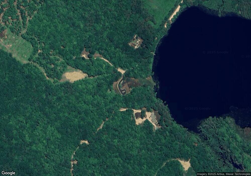
Map
Nearby Homes
- Map 5 Lot 14 Coles Ledge Rd
- 446 Province Rd
- 22 Pinepark Dr
- 61a Suncook Valley Rd
- 1310 & 1311 Upper City Rd
- 00 Bingham Rd Unit 2
- L33 Province Rd
- 16 Ridge Rd
- 39 S Barnstead Rd
- Lot 33 Ridge Rd
- M2-l29-9 Province Rd
- 376 White Oak Rd
- 79 High St
- 153 Leavitt Rd
- 1027 Suncook Valley Rd
- 43 Watson St
- 4 Sandy Point Rd
- 17 Bridge St
- 47 Carroll St
- Map R29 Lot 1 and Lot 1-1 Catamount Rd
- Lot 55 Coles Ledge Rd Unit Map 1/Lot 55
- 441 Garland Rd
- 169 Coles Ledge Rd
- 181 Coles Ledge Rd
- Lot 55 Cole's Ledge Unit Map 1 Lot 55
- 125 Coles Ledge Rd
- 120 Coles Ledge Rd
- 82 Parkey Rd
- 4 Parkey Rd
- 8 Parkey Rd
- 16 Parkey Rd
- 89 Coles Ledge Rd
- 111 Parkey Rd
- 297 Coles Ledge Rd
- Lot 8 Parkey Rd
- 485 Garland Rd
- 423 Garland Rd
- 555 Garland Rd
- 522 Garland Rd
- 530 Garland Rd
Your Personal Tour Guide
Ask me questions while you tour the home.