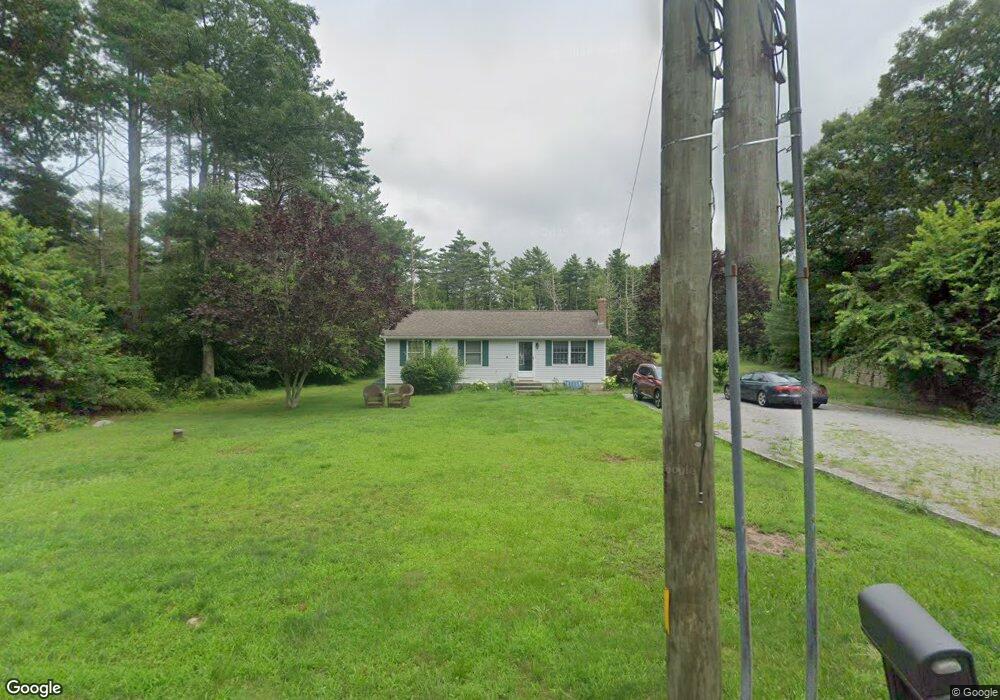
182 Division Rd North Dartmouth, MA 02747
Great Neck NeighborhoodEstimated Value: $441,000 - $564,000
2
Beds
1
Bath
960
Sq Ft
$521/Sq Ft
Est. Value
About This Home
This home is located at 182 Division Rd, North Dartmouth, MA 02747 and is currently estimated at $500,529, approximately $521 per square foot. 182 Division Rd is a home located in Bristol County with nearby schools including Dartmouth High School.
Ownership History
Date
Name
Owned For
Owner Type
Purchase Details
Closed on
Oct 27, 2020
Sold by
Goyette Roland G
Bought by
Sousa Zachary R and Goyette Regan M
Current Estimated Value
Home Financials for this Owner
Home Financials are based on the most recent Mortgage that was taken out on this home.
Original Mortgage
$305,999
Outstanding Balance
$272,296
Interest Rate
2.8%
Mortgage Type
New Conventional
Estimated Equity
$228,233
Purchase Details
Closed on
Jun 6, 2014
Sold by
Goyette Roland G and Giyette Nancy
Bought by
Goyette Ronald G
Purchase Details
Closed on
Oct 31, 1996
Sold by
Mitchell Annette L
Bought by
Goyette Roland G
Purchase Details
Closed on
Jun 1, 1994
Sold by
Reardon John F and Reardon Andrea L
Bought by
Mitchell Annette L
Purchase Details
Closed on
Mar 17, 1989
Sold by
Jones Daniel N
Bought by
Reardon John F
Create a Home Valuation Report for This Property
The Home Valuation Report is an in-depth analysis detailing your home's value as well as a comparison with similar homes in the area
Home Values in the Area
Average Home Value in this Area
Purchase History
| Date | Buyer | Sale Price | Title Company |
|---|---|---|---|
| Sousa Zachary R | $340,000 | None Available | |
| Goyette Ronald G | -- | -- | |
| Goyette Roland G | $115,000 | -- | |
| Mitchell Annette L | $117,000 | -- | |
| Reardon John F | $124,000 | -- |
Source: Public Records
Mortgage History
| Date | Status | Borrower | Loan Amount |
|---|---|---|---|
| Open | Sousa Zachary R | $305,999 | |
| Previous Owner | Reardon John F | $287,500 | |
| Previous Owner | Reardon John F | $265,500 |
Source: Public Records
Tax History Compared to Growth
Tax History
| Year | Tax Paid | Tax Assessment Tax Assessment Total Assessment is a certain percentage of the fair market value that is determined by local assessors to be the total taxable value of land and additions on the property. | Land | Improvement |
|---|---|---|---|---|
| 2025 | $3,621 | $392,700 | $240,800 | $151,900 |
| 2024 | $3,470 | $374,700 | $229,700 | $145,000 |
| 2023 | $3,408 | $344,200 | $213,000 | $131,200 |
| 2022 | $3,369 | $313,400 | $203,800 | $109,600 |
| 2021 | $2,698 | $287,700 | $180,000 | $107,700 |
| 2020 | $2,714 | $283,100 | $180,000 | $103,100 |
| 2019 | $3,143 | $281,900 | $180,000 | $101,900 |
| 2018 | $4,182 | $270,500 | $180,000 | $90,500 |
| 2017 | $3,956 | $258,700 | $169,700 | $89,000 |
| 2016 | $2,711 | $246,000 | $162,300 | $83,700 |
| 2015 | $2,614 | $237,600 | $151,400 | $86,200 |
| 2014 | $2,448 | $221,700 | $137,300 | $84,400 |
Source: Public Records
Map
Nearby Homes
- 2 Slades Farm Ln
- 73 White Oak Run
- 1150 Russells Mills Rd
- 99 Sylvia Ln
- Lot 2E Horseneck Rd
- 225 Hixbridge Rd
- 920 Drift Rd
- 61 Pardon Hill Rd
- 47 Fallon Dr
- Lot 2 Horseneck Rd
- 0 Hidden Glen Ln
- 118 Charlotte White Rd Extension
- 837 Main Rd
- 248 Bakerville Rd
- 8 Village Way
- 7 Village Way
- Lot 0 Marcotte
- 15 Village Way
- Lot 1 Rafael Rd
- 1702 Drift Rd
- 172 Division Rd
- 186 Division Rd
- 169 Division Rd
- 163 Division Rd
- 164 Division Rd
- 157 Division Rd
- 188 Division Rd
- 151 Division Rd
- 175 Division Rd
- 145 Division Rd
- 146 Division Rd
- 139 Division Rd
- 2 Paradise Dr
- 196 Division Rd
- 140 Division Rd
- 191 Division Rd
- 1 Paradise Dr
- 1 Paradise Dr Unit B1
- 1 Paradise Dr
- 133 Division Rd
