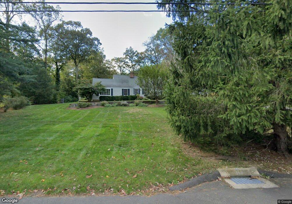
182 E Cross Rd New Canaan, CT 06840
Estimated Value: $1,561,000 - $2,337,000
4
Beds
4
Baths
4,073
Sq Ft
$469/Sq Ft
Est. Value
About This Home
This home is located at 182 E Cross Rd, New Canaan, CT 06840 and is currently estimated at $1,911,677, approximately $469 per square foot. 182 E Cross Rd is a home located in Fairfield County with nearby schools including West Elementary School, Saxe Middle School, and New Canaan High School.
Ownership History
Date
Name
Owned For
Owner Type
Purchase Details
Closed on
Nov 2, 2018
Sold by
Katharine Iglic Irt
Bought by
Merjian Heide
Current Estimated Value
Purchase Details
Closed on
Jan 28, 1997
Sold by
Burke William P and Burke Cynthia Z
Bought by
Merjian Gary S and Merjian Heide
Purchase Details
Closed on
Jan 7, 1991
Sold by
Peobody Frank
Bought by
Burke William and Burke Cynthia
Create a Home Valuation Report for This Property
The Home Valuation Report is an in-depth analysis detailing your home's value as well as a comparison with similar homes in the area
Home Values in the Area
Average Home Value in this Area
Purchase History
| Date | Buyer | Sale Price | Title Company |
|---|---|---|---|
| Merjian Heide | -- | -- | |
| Merjian Gary S | $565,000 | -- | |
| Burke William | $460,000 | -- |
Source: Public Records
Mortgage History
| Date | Status | Borrower | Loan Amount |
|---|---|---|---|
| Previous Owner | Burke William | $230,000 | |
| Previous Owner | Burke William | $545,000 | |
| Previous Owner | Burke William | $545,000 |
Source: Public Records
Tax History
| Year | Tax Paid | Tax Assessment Tax Assessment Total Assessment is a certain percentage of the fair market value that is determined by local assessors to be the total taxable value of land and additions on the property. | Land | Improvement |
|---|---|---|---|---|
| 2025 | $15,585 | $933,800 | $490,000 | $443,800 |
| 2024 | $15,072 | $933,800 | $490,000 | $443,800 |
| 2023 | $14,886 | $785,960 | $471,730 | $314,230 |
| 2022 | $14,438 | $785,960 | $471,730 | $314,230 |
| 2021 | $14,273 | $785,960 | $471,730 | $314,230 |
| 2020 | $14,273 | $785,960 | $471,730 | $314,230 |
| 2019 | $14,336 | $785,960 | $471,730 | $314,230 |
| 2018 | $14,772 | $871,010 | $499,170 | $371,840 |
| 2017 | $14,520 | $871,010 | $499,170 | $371,840 |
| 2016 | $14,206 | $871,010 | $499,170 | $371,840 |
| 2015 | $14,424 | $871,010 | $499,170 | $371,840 |
| 2014 | $13,535 | $871,010 | $499,170 | $371,840 |
Source: Public Records
Map
Nearby Homes
- 139 Jelliff Mill Rd
- 42 Hillcrest Rd
- 39 Running Brook Ln
- 96 Weed St
- 113 Woodbrook Dr
- 77 Putter Dr
- 202 Weed St
- 119 Wedgemere Rd
- 59 Woodway Rd Unit 1
- 19 Woodway Rd Unit 26
- 39 Woodway Rd Unit C7
- 98 Indian Waters Dr
- 179 Highview Ave Unit 2
- 28 Crooked Mile Rd
- 59 Emerald Ln
- 470 Frogtown Rd Unit Lot 1
- 470 Frogtown Rd Unit Lot 2
- 49 Minivale Rd
- 17 Oenoke Place
- 1197 Hope St Unit 3
- 168 E Cross Rd
- 183 E Cross Rd
- 26 W Cross Rd
- 38 W Cross Rd
- 153 Hawks Hill Rd
- 137 Hawks Hill Rd
- 175 Hawks Hill Rd
- 142 E Cross Rd
- 27 W Cross Rd
- 54 W Cross Rd
- 111 Hawks Hill Rd
- 158 Hawks Hill Rd
- 143 E Cross Rd
- 49 W Cross Rd
- 126 E Cross Rd
- 124 Hawks Hill Rd
- 199 Hawks Hill Rd Unit R
- 199 Hawks Hill Rd Unit R
- 199 Hawks Hill Rd
- 199 Hawks Hill Rd
Your Personal Tour Guide
Ask me questions while you tour the home.