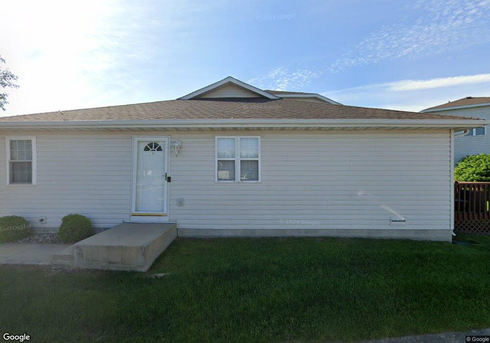
182 Mallard Pointe Dr Unit 1 Valparaiso, IN 46385
Porter County NeighborhoodEstimated Value: $184,000 - $193,003
2
Beds
2
Baths
1,120
Sq Ft
$168/Sq Ft
Est. Value
About This Home
This home is located at 182 Mallard Pointe Dr Unit 1, Valparaiso, IN 46385 and is currently estimated at $188,501, approximately $168 per square foot. 182 Mallard Pointe Dr Unit 1 is a home located in Porter County with nearby schools including Liberty Elementary School, Liberty Intermediate School, and Chesterton Middle School.
Ownership History
Date
Name
Owned For
Owner Type
Purchase Details
Closed on
Aug 5, 2024
Sold by
Finley Robert T and Finley Teresa A
Bought by
Renvak Reality Llc and Finley
Current Estimated Value
Purchase Details
Closed on
Apr 1, 2022
Sold by
Brennan Edward D
Bought by
Finley Robert T and Finley Teresa A
Home Financials for this Owner
Home Financials are based on the most recent Mortgage that was taken out on this home.
Original Mortgage
$109,900
Interest Rate
3.14%
Mortgage Type
New Conventional
Create a Home Valuation Report for This Property
The Home Valuation Report is an in-depth analysis detailing your home's value as well as a comparison with similar homes in the area
Home Values in the Area
Average Home Value in this Area
Purchase History
| Date | Buyer | Sale Price | Title Company |
|---|---|---|---|
| Renvak Reality Llc | -- | None Listed On Document | |
| Finley Robert T | $157,000 | Community Title |
Source: Public Records
Mortgage History
| Date | Status | Borrower | Loan Amount |
|---|---|---|---|
| Previous Owner | Finley Robert T | $109,900 |
Source: Public Records
Tax History Compared to Growth
Tax History
| Year | Tax Paid | Tax Assessment Tax Assessment Total Assessment is a certain percentage of the fair market value that is determined by local assessors to be the total taxable value of land and additions on the property. | Land | Improvement |
|---|---|---|---|---|
| 2024 | $2,594 | $149,300 | $6,800 | $142,500 |
| 2023 | $2,329 | $145,200 | $6,500 | $138,700 |
| 2022 | $782 | $131,400 | $6,500 | $124,900 |
| 2021 | $726 | $99,900 | $6,500 | $93,400 |
| 2020 | $697 | $99,000 | $5,600 | $93,400 |
| 2019 | $618 | $90,100 | $5,600 | $84,500 |
| 2018 | $1,106 | $90,100 | $5,600 | $84,500 |
| 2017 | $1,117 | $89,000 | $5,600 | $83,400 |
| 2016 | $1,161 | $89,400 | $6,000 | $83,400 |
| 2014 | $1,450 | $98,100 | $6,000 | $92,100 |
| 2013 | -- | $93,700 | $6,000 | $87,700 |
Source: Public Records
Map
Nearby Homes
- 186 Mallard Pointe Dr
- 792 Merganser Ln
- 244 Falcon Way
- 231 Southwind Dr
- 748 N 200 W
- 240 Southwind Dr
- 812 Concord St
- 210 Papillon Dr
- 120 W Us Highway 6
- 249 W 700 N
- 122 W 850 N
- 229 W 700 N
- 244 W 700 N
- 275 W 700 N
- 776-1 Baltimore Rd
- 761 Capitol Rd
- 746-1 Capitol Rd
- 775-1 Eagle Creek Rd
- 723 Capitol Rd
- 794 Eagle Creek Rd
- 182 Mallard Pointe Dr
- 180 Mallard Pointe Dr
- 180 Mallard Pointe Dr Unit 3
- 178 Mallard Pointe Dr
- 190 Mallard Pointe Dr
- 176 Mallard Pointe Dr
- 176 Mallard Pointe Dr Unit 1
- 188 Mallard Pointe Dr
- 177 Mallard Pointe Dr
- 177 Mallard Pointe Dr Unit 9-D
- 175 Mallard Pointe Dr Unit 9
- 0 Mallard Pointe Dr
- 0 Mallard Pointe Dr
- 0 Mallard Pointe Dr Unit NRA352844
- 184 Mallard Pointe Dr
- 184 Mallard Pointe Dr Unit 11-A
- 173 Mallard Pointe Dr
- 174 Mallard Pointe Dr
- 174 Mallard Pointe Dr Unit 174
- 174 Mallard Pointe Dr Unit D