Estimated Value: $182,000 - $226,000
3
Beds
1
Bath
1,008
Sq Ft
$200/Sq Ft
Est. Value
About This Home
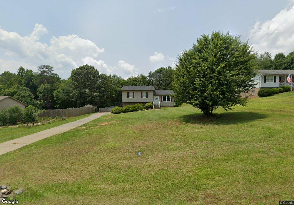
This home is located at 182 Marie Dr, King, NC 27021 and is currently estimated at $201,648, approximately $200 per square foot. 182 Marie Dr is a home located in Stokes County with nearby schools including Poplar Springs Elementary School, Chestnut Grove Middle, and South Stokes High.
Ownership History
Date
Name
Owned For
Owner Type
Purchase Details
Closed on
Oct 10, 2007
Sold by
Tuttle Jeremy S and Tuttrle Carrie G
Bought by
Jones Lori R
Current Estimated Value
Home Financials for this Owner
Home Financials are based on the most recent Mortgage that was taken out on this home.
Original Mortgage
$81,500
Outstanding Balance
$51,411
Interest Rate
6.41%
Mortgage Type
New Conventional
Estimated Equity
$150,237
Create a Home Valuation Report for This Property
The Home Valuation Report is an in-depth analysis detailing your home's value as well as a comparison with similar homes in the area
Home Values in the Area
Average Home Value in this Area
Purchase History
| Date | Buyer | Sale Price | Title Company |
|---|---|---|---|
| Jones Lori R | $98,500 | None Available |
Source: Public Records
Mortgage History
| Date | Status | Borrower | Loan Amount |
|---|---|---|---|
| Open | Jones Lori R | $81,500 |
Source: Public Records
Tax History
| Year | Tax Paid | Tax Assessment Tax Assessment Total Assessment is a certain percentage of the fair market value that is determined by local assessors to be the total taxable value of land and additions on the property. | Land | Improvement |
|---|---|---|---|---|
| 2025 | $1,148 | $160,600 | $35,000 | $125,600 |
| 2024 | $1,148 | $110,500 | $28,000 | $82,500 |
| 2023 | $895 | $110,500 | $28,000 | $82,500 |
| 2022 | $818 | $110,500 | $28,000 | $82,500 |
| 2021 | $818 | $110,500 | $28,000 | $82,500 |
| 2020 | $693 | $93,600 | $22,500 | $71,100 |
| 2019 | $693 | $93,600 | $22,500 | $71,100 |
| 2018 | $693 | $93,600 | $22,500 | $71,100 |
| 2017 | $688 | $93,600 | $22,500 | $71,100 |
| 2016 | $668 | $90,900 | $22,500 | $68,400 |
| 2015 | $664 | $90,900 | $22,500 | $68,400 |
| 2014 | $682 | $90,900 | $22,500 | $68,400 |
Source: Public Records
Map
Nearby Homes
- 302 Mountainbrook Dr
- 218 Misty Ct
- 606 Merriweather Dr
- 106 Meta Ct
- Lot 18 Glen Brooke Ln
- 100 Ashley Ln
- Lot 19 Glen Brooke Ln
- 6531 N Carolina 66
- 408 Maverick Trail Dr
- 109 Glen Brooke Ln
- 340 Mountainview Rd
- 104 Palomino Dr
- 126 Piebald Dr
- 0 Mountain View Rd Unit 1173137
- 110 Vine Maple Ct
- 1255 Mountain View Rd
- 108 Willow Bend Dr
- 168 Red Maple Way
- 4.45acres Gib Ferguson Rd
- 165 Red Maple Way
Your Personal Tour Guide
Ask me questions while you tour the home.