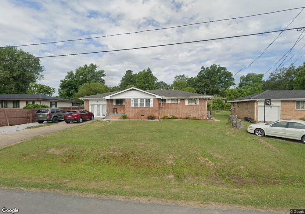
182 McOtis Dr Fort Oglethorpe, GA 30742
Estimated Value: $218,000 - $252,000
3
Beds
2
Baths
1,344
Sq Ft
$172/Sq Ft
Est. Value
About This Home
This home is located at 182 McOtis Dr, Fort Oglethorpe, GA 30742 and is currently estimated at $230,715, approximately $171 per square foot. 182 McOtis Dr is a home located in Catoosa County with nearby schools including Battlefield Primary School, Battlefield Elementary School, and Lakeview Middle School.
Ownership History
Date
Name
Owned For
Owner Type
Purchase Details
Closed on
Dec 29, 2004
Bought by
Antoine Jean N
Current Estimated Value
Home Financials for this Owner
Home Financials are based on the most recent Mortgage that was taken out on this home.
Original Mortgage
$51,200
Outstanding Balance
$25,782
Interest Rate
5.71%
Mortgage Type
New Conventional
Estimated Equity
$204,933
Create a Home Valuation Report for This Property
The Home Valuation Report is an in-depth analysis detailing your home's value as well as a comparison with similar homes in the area
Home Values in the Area
Average Home Value in this Area
Purchase History
| Date | Buyer | Sale Price | Title Company |
|---|---|---|---|
| Antoine Jean N | $64,000 | -- |
Source: Public Records
Mortgage History
| Date | Status | Borrower | Loan Amount |
|---|---|---|---|
| Open | Antoine Jean N | $51,200 | |
| Closed | Antoine Jean N | $12,800 |
Source: Public Records
Tax History Compared to Growth
Tax History
| Year | Tax Paid | Tax Assessment Tax Assessment Total Assessment is a certain percentage of the fair market value that is determined by local assessors to be the total taxable value of land and additions on the property. | Land | Improvement |
|---|---|---|---|---|
| 2024 | $1,752 | $66,590 | $8,518 | $58,072 |
| 2023 | $1,437 | $51,168 | $8,518 | $42,650 |
| 2022 | $1,132 | $40,315 | $8,518 | $31,797 |
| 2021 | $1,074 | $40,315 | $8,518 | $31,797 |
| 2020 | $1,041 | $35,272 | $8,518 | $26,754 |
| 2019 | $1,052 | $35,272 | $8,518 | $26,754 |
| 2018 | $983 | $31,354 | $4,600 | $26,754 |
| 2017 | $974 | $31,066 | $4,600 | $26,466 |
| 2016 | $948 | $28,943 | $4,600 | $24,343 |
| 2015 | -- | $28,943 | $4,600 | $24,343 |
| 2014 | -- | $28,943 | $4,600 | $24,343 |
| 2013 | -- | $28,943 | $4,600 | $24,343 |
Source: Public Records
Map
Nearby Homes
- 168 McOtis Dr
- 196 McOtis Dr
- 1804 Winifred Dr
- 1802 Winifred Dr
- 152 McOtis Dr
- 619 Patterson Ave
- 1806 Winifred Dr
- 175 McOtis Dr
- 1800 Winifred Dr
- 138 McOtis Dr
- 581 Patterson Ave
- 1716 Winifred Dr
- 124 McOtis Dr
- 135 McOtis Dr
- 1803 Winifred Dr
- 1712 Winifred Dr
- 507 Thomas Dr
- 144 Block Rd
- 1807 Winifred Dr
- 158 Block Rd