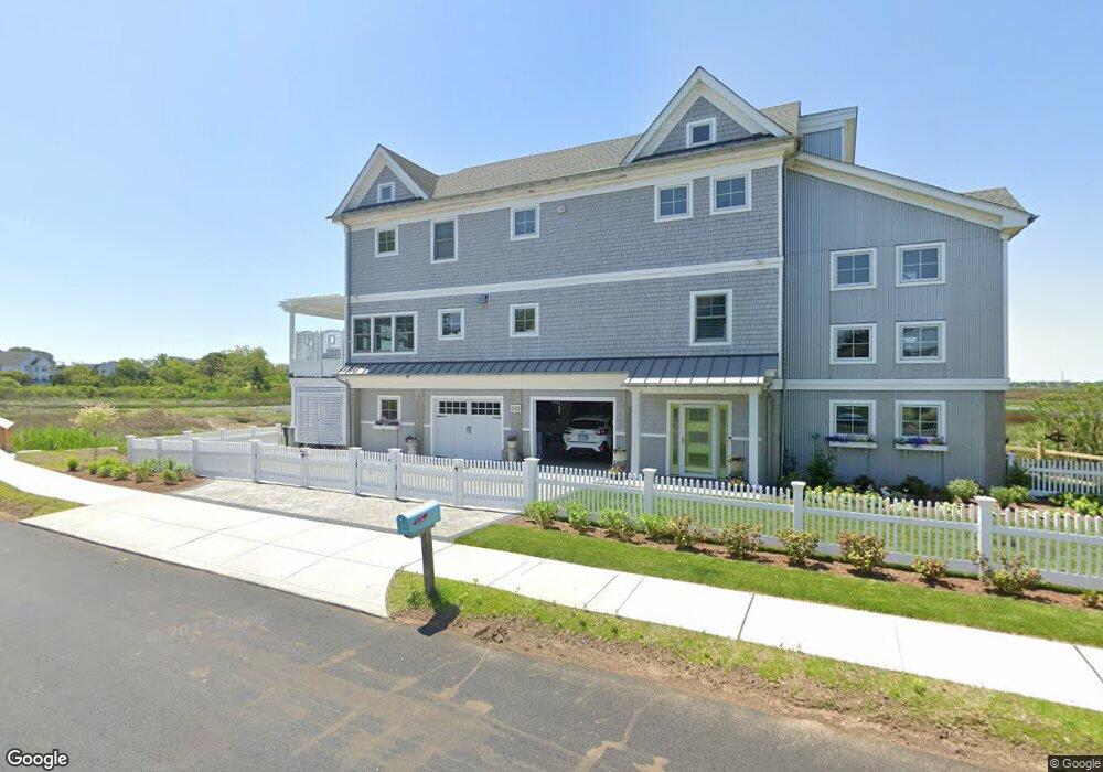
182 Milford Point Rd Milford, CT 06460
Devon NeighborhoodEstimated Value: $796,000 - $1,412,000
2
Beds
3
Baths
2,596
Sq Ft
$471/Sq Ft
Est. Value
About This Home
This home is located at 182 Milford Point Rd, Milford, CT 06460 and is currently estimated at $1,221,853, approximately $470 per square foot. 182 Milford Point Rd is a home with nearby schools including Pumpkin Delight School, West Shore Middle School, and Jonathan Law High School.
Ownership History
Date
Name
Owned For
Owner Type
Purchase Details
Closed on
Jan 17, 2023
Sold by
Wiles George and Wiles Arla
Bought by
George & Arla Wiles Lt
Current Estimated Value
Purchase Details
Closed on
Aug 14, 2015
Sold by
Milford Point Properti
Bought by
Wiles George and Wiles Arla
Purchase Details
Closed on
Apr 8, 2013
Sold by
Sdm Llc
Bought by
Milford Point Props Ll
Purchase Details
Closed on
Feb 22, 1996
Sold by
Jaser George J
Bought by
Sdm Llc
Create a Home Valuation Report for This Property
The Home Valuation Report is an in-depth analysis detailing your home's value as well as a comparison with similar homes in the area
Home Values in the Area
Average Home Value in this Area
Purchase History
| Date | Buyer | Sale Price | Title Company |
|---|---|---|---|
| George & Arla Wiles Lt | -- | None Available | |
| George & Arla Wiles Lt | -- | None Available | |
| Wiles George | $175,000 | -- | |
| Wiles George | $175,000 | -- | |
| Milford Point Props Ll | -- | -- | |
| Milford Point Props Ll | -- | -- | |
| Sdm Llc | $25,000 | -- | |
| Sdm Llc | $25,000 | -- |
Source: Public Records
Tax History Compared to Growth
Tax History
| Year | Tax Paid | Tax Assessment Tax Assessment Total Assessment is a certain percentage of the fair market value that is determined by local assessors to be the total taxable value of land and additions on the property. | Land | Improvement |
|---|---|---|---|---|
| 2025 | $18,730 | $633,840 | $310,020 | $323,820 |
| 2024 | $18,470 | $633,840 | $310,020 | $323,820 |
| 2023 | $17,221 | $633,840 | $310,020 | $323,820 |
| 2022 | $16,892 | $633,840 | $310,020 | $323,820 |
| 2021 | $14,504 | $524,560 | $221,340 | $303,220 |
| 2020 | $14,520 | $524,560 | $221,340 | $303,220 |
| 2019 | $14,536 | $524,560 | $221,340 | $303,220 |
| 2018 | $14,551 | $524,560 | $221,340 | $303,220 |
| 2017 | $12,600 | $453,400 | $221,340 | $232,060 |
| 2016 | $2,719 | $97,650 | $97,650 | $0 |
| 2015 | $2,722 | $97,650 | $97,650 | $0 |
| 2014 | $2,658 | $97,650 | $97,650 | $0 |
Source: Public Records
Map
Nearby Homes
- 200 Milford Point Rd
- 212 Milford Point Rd
- 28 Milford Point Rd
- 3 Francis St
- 37 8th Ave
- 66 Birch Ave
- 253 Broadway
- 33 Wildwood Ave
- 24 Botsford Ave
- 295 Housatonic Dr
- 82 Miller Ave
- 8 Waterbury Ave
- 6 Spindrift Ln
- Dewey Ave
- 63 Stowe Ave
- 58 Laurel Ave
- 151 Naugatuck Ave
- 96 Naugatuck Ave
- 18 Eastern Pkwy
- 58 Berkeley Terrace