182 Mossman Rd Sudbury, MA 01776
Estimated Value: $867,492 - $932,000
4
Beds
2
Baths
2,114
Sq Ft
$428/Sq Ft
Est. Value
About This Home
This home is located at 182 Mossman Rd, Sudbury, MA 01776 and is currently estimated at $904,873, approximately $428 per square foot. 182 Mossman Rd is a home located in Middlesex County with nearby schools including Josiah Haynes Elementary School, Ephraim Curtis Middle School, and Lincoln-Sudbury Regional High School.
Ownership History
Date
Name
Owned For
Owner Type
Purchase Details
Closed on
Mar 27, 2018
Sold by
Duffy Keith D and Duffy Sarah M
Bought by
Keith & Sarah Duffy Lt
Current Estimated Value
Purchase Details
Closed on
Jun 14, 2010
Sold by
Est Liu William N and Gillette Deborah
Bought by
Duffy Keith N and Duffy Sarah M
Home Financials for this Owner
Home Financials are based on the most recent Mortgage that was taken out on this home.
Original Mortgage
$378,000
Interest Rate
5.11%
Mortgage Type
Purchase Money Mortgage
Create a Home Valuation Report for This Property
The Home Valuation Report is an in-depth analysis detailing your home's value as well as a comparison with similar homes in the area
Home Values in the Area
Average Home Value in this Area
Purchase History
| Date | Buyer | Sale Price | Title Company |
|---|---|---|---|
| Keith & Sarah Duffy Lt | -- | -- | |
| Duffy Keith N | $420,000 | -- |
Source: Public Records
Mortgage History
| Date | Status | Borrower | Loan Amount |
|---|---|---|---|
| Previous Owner | Duffy Keith N | $378,000 |
Source: Public Records
Tax History Compared to Growth
Tax History
| Year | Tax Paid | Tax Assessment Tax Assessment Total Assessment is a certain percentage of the fair market value that is determined by local assessors to be the total taxable value of land and additions on the property. | Land | Improvement |
|---|---|---|---|---|
| 2025 | $10,873 | $742,700 | $438,900 | $303,800 |
| 2024 | $10,337 | $707,500 | $426,100 | $281,400 |
| 2023 | $10,241 | $649,400 | $394,500 | $254,900 |
| 2022 | $9,794 | $542,600 | $362,100 | $180,500 |
| 2021 | $9,733 | $516,900 | $362,100 | $154,800 |
| 2020 | $9,537 | $516,900 | $362,100 | $154,800 |
| 2019 | $9,258 | $516,900 | $362,100 | $154,800 |
| 2018 | $9,212 | $513,800 | $386,100 | $127,700 |
| 2017 | $8,636 | $486,800 | $367,300 | $119,500 |
| 2016 | $8,320 | $467,400 | $353,300 | $114,100 |
| 2015 | $7,784 | $442,300 | $326,100 | $116,200 |
| 2014 | $7,771 | $431,000 | $316,500 | $114,500 |
Source: Public Records
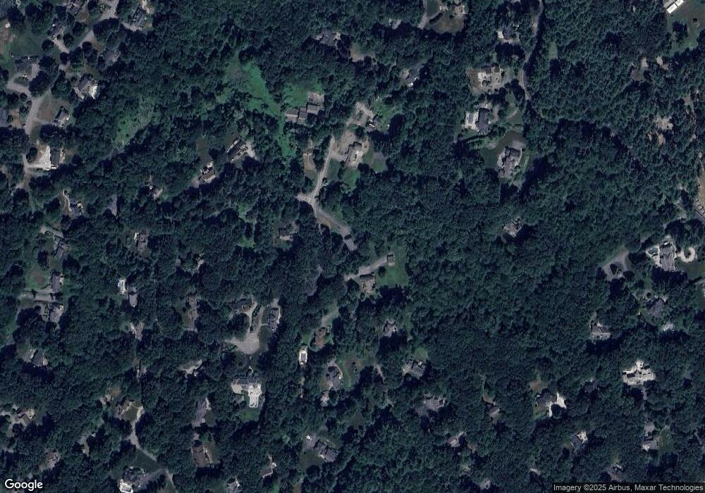
Map
Nearby Homes
- 57 Longfellow Rd
- 5 Taintor Dr
- 589 North Rd
- 67 Powder Mill Rd
- 16 Blacksmith Dr
- 10 Oak Ridge Dr Unit 5
- 5 Oak Ridge Dr Unit 7
- 42 Dakin Rd
- 55 Widow Rites Ln
- 45 Widow Rites Ln
- 166 Parker St Unit 4
- 250 Great Rd
- 11 Barnet Rd
- 63 Canterbury Dr
- 369 Border Rd
- 54 Phillips Rd
- 5 Hayes St Unit 5
- 15 Arthur St Unit 15
- 13 Arthur St Unit 15
- 14 Frost Ln