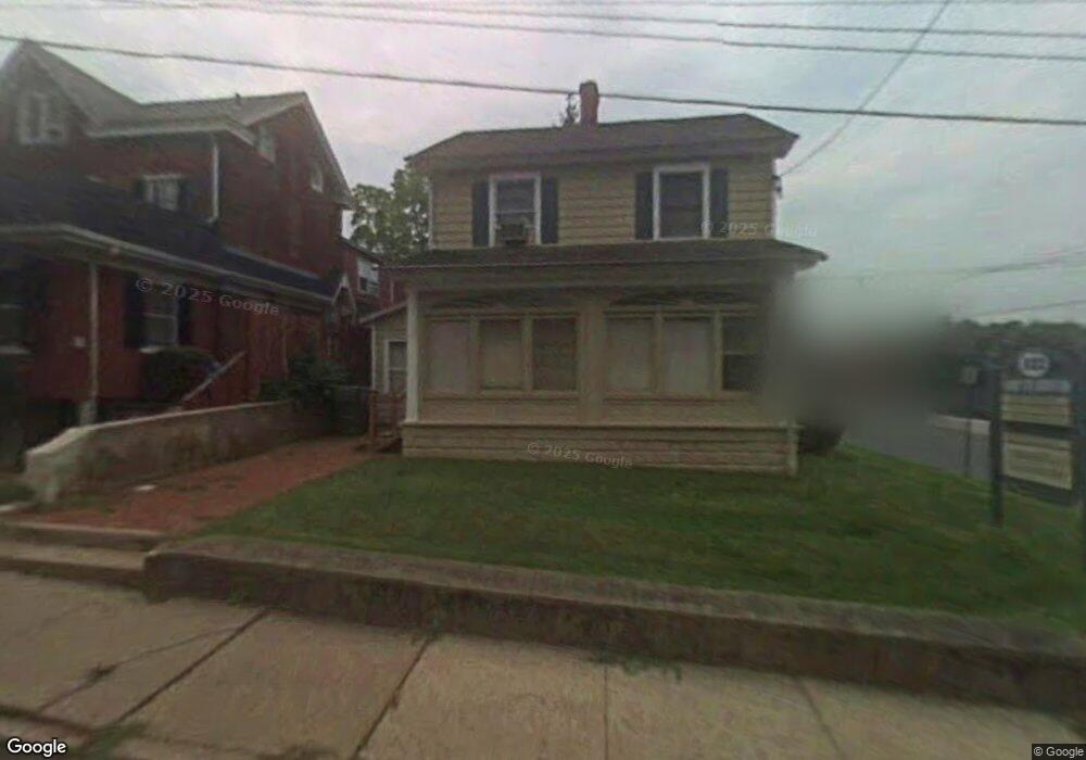
182 N Broad St Doylestown, PA 18901
Estimated Value: $600,000 - $721,000
3
Beds
2
Baths
1,760
Sq Ft
$387/Sq Ft
Est. Value
About This Home
This home is located at 182 N Broad St, Doylestown, PA 18901 and is currently estimated at $681,582, approximately $387 per square foot. 182 N Broad St is a home located in Bucks County with nearby schools including Doyle El School, Lenape Middle School, and Central Bucks High School-West.
Ownership History
Date
Name
Owned For
Owner Type
Purchase Details
Closed on
Dec 28, 1993
Sold by
Bernie Enterprises Inc
Bought by
U S Route 13 Tullytown Land Trust
Current Estimated Value
Purchase Details
Closed on
Oct 25, 1990
Sold by
Kovler
Bought by
Whitley Robert C Iii and Whitley Linda C
Purchase Details
Closed on
Sep 15, 1988
Bought by
Kovler
Create a Home Valuation Report for This Property
The Home Valuation Report is an in-depth analysis detailing your home's value as well as a comparison with similar homes in the area
Home Values in the Area
Average Home Value in this Area
Purchase History
| Date | Buyer | Sale Price | Title Company |
|---|---|---|---|
| U S Route 13 Tullytown Land Trust | $500 | -- | |
| Whitley Robert C Iii | $172,000 | -- | |
| Kovler | $160,000 | -- |
Source: Public Records
Tax History Compared to Growth
Tax History
| Year | Tax Paid | Tax Assessment Tax Assessment Total Assessment is a certain percentage of the fair market value that is determined by local assessors to be the total taxable value of land and additions on the property. | Land | Improvement |
|---|---|---|---|---|
| 2025 | $3,819 | $21,200 | $4,720 | $16,480 |
| 2024 | $3,819 | $21,200 | $4,720 | $16,480 |
| 2023 | $3,639 | $21,200 | $4,720 | $16,480 |
| 2022 | $3,588 | $21,200 | $4,720 | $16,480 |
| 2021 | $3,549 | $21,200 | $4,720 | $16,480 |
| 2020 | $3,510 | $21,200 | $4,720 | $16,480 |
| 2019 | $3,471 | $21,200 | $4,720 | $16,480 |
| 2018 | $3,429 | $21,200 | $4,720 | $16,480 |
| 2017 | $3,393 | $21,200 | $4,720 | $16,480 |
| 2016 | $3,393 | $21,200 | $4,720 | $16,480 |
| 2015 | -- | $21,200 | $4,720 | $16,480 |
| 2014 | -- | $21,200 | $4,720 | $16,480 |
Source: Public Records
Map
Nearby Homes
- 169 N Main St
- 146 N Church St
- 146 E Court St
- 20 E Court St
- 4 Barnes Ct
- 37 N Clinton St
- 69 E Oakland Ave
- 418 North St
- 155 E Oakland Ave
- 215 N Franklin St
- 333 Dorset Ct Unit 333
- 110 E Ashland St
- 121 Cottage St
- 339 E Ashland St
- 236 Green St
- 195 Lafayette St
- 90 Chapman Ave
- 259 W Ashland St
- 89 Homestead Dr
- 5 Belmont Square
- 171 N Broad St
- 152 N Main St Unit 3B
- 152 N Main St Unit 3A
- 152 N Main St Unit 2B
- 152 N Main St Unit 2-A
- 152 N Main St Unit 1B
- 152 N Main St Unit 1A
- 152 N Main St
- 179 N Broad St
- 201 N Broad St
- 95 Union St
- 169 N Broad St
- 101 Union St
- 126 N Main St
- 182 N Main St
- 188 N Main St
- 107 Union St
- 116 Union St
- 117 Union St
- 30 Union St