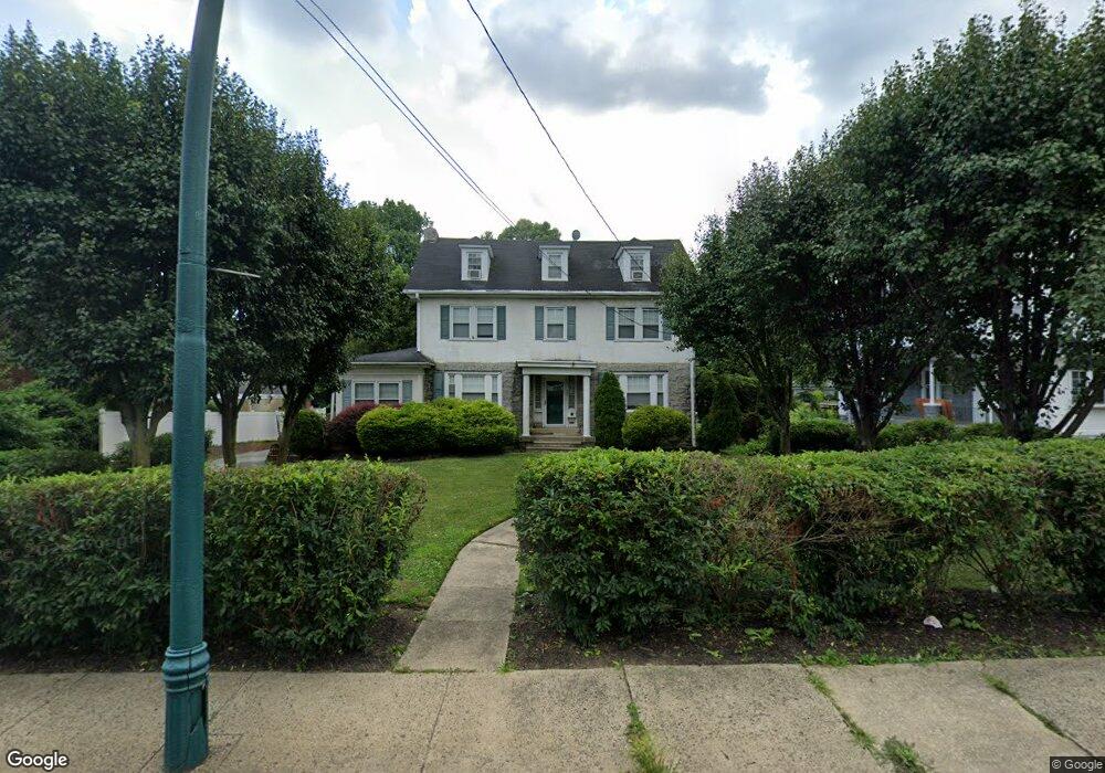
182 N Lansdowne Ave Lansdowne, PA 19050
Estimated Value: $460,000 - $489,000
6
Beds
4
Baths
3,320
Sq Ft
$143/Sq Ft
Est. Value
About This Home
This home is located at 182 N Lansdowne Ave, Lansdowne, PA 19050 and is currently estimated at $475,850, approximately $143 per square foot. 182 N Lansdowne Ave is a home located in Delaware County with nearby schools including Ardmore Avenue School, Penn Wood Middle School, and Penn Wood High School - Cypress Street Campus.
Ownership History
Date
Name
Owned For
Owner Type
Purchase Details
Closed on
Sep 11, 2002
Sold by
Shannon Dennis T and Shannon Elizabeth J
Bought by
Gilbert Brian and Gilbert Kristina
Current Estimated Value
Home Financials for this Owner
Home Financials are based on the most recent Mortgage that was taken out on this home.
Original Mortgage
$228,000
Outstanding Balance
$95,452
Interest Rate
6.27%
Estimated Equity
$380,398
Create a Home Valuation Report for This Property
The Home Valuation Report is an in-depth analysis detailing your home's value as well as a comparison with similar homes in the area
Home Values in the Area
Average Home Value in this Area
Purchase History
| Date | Buyer | Sale Price | Title Company |
|---|---|---|---|
| Gilbert Brian | $240,000 | -- |
Source: Public Records
Mortgage History
| Date | Status | Borrower | Loan Amount |
|---|---|---|---|
| Open | Gilbert Brian | $228,000 |
Source: Public Records
Tax History Compared to Growth
Tax History
| Year | Tax Paid | Tax Assessment Tax Assessment Total Assessment is a certain percentage of the fair market value that is determined by local assessors to be the total taxable value of land and additions on the property. | Land | Improvement |
|---|---|---|---|---|
| 2025 | $10,882 | $264,310 | $78,060 | $186,250 |
| 2024 | $10,882 | $264,310 | $78,060 | $186,250 |
| 2023 | $10,375 | $264,310 | $78,060 | $186,250 |
| 2022 | $10,171 | $264,310 | $78,060 | $186,250 |
| 2021 | $15,274 | $264,310 | $78,060 | $186,250 |
| 2020 | $8,822 | $134,520 | $39,770 | $94,750 |
| 2019 | $8,674 | $134,520 | $39,770 | $94,750 |
| 2018 | $8,525 | $134,520 | $0 | $0 |
| 2017 | $8,337 | $134,520 | $0 | $0 |
| 2016 | $738 | $134,520 | $0 | $0 |
| 2015 | $738 | $134,520 | $0 | $0 |
| 2014 | $738 | $134,520 | $0 | $0 |
Source: Public Records
Map
Nearby Homes
- 29 W Stratford Ave
- 88 E Essex Ave
- 38 W Stratford Ave
- 37 E Stratford Ave
- 15 E Albemarle Ave
- 88 W Plumstead Ave
- 75 E Stewart Ave
- 164 Woodland Ave
- 182 Berkley Ave
- 135 Drexel Ave
- 32 N Wycombe Ave
- 178 N Union Ave
- 185 Berkley Ave
- 239 N Maple Ave
- 209 E Greenwood Ave
- 78 W Marshall Rd
- 315 E Essex Ave
- 317 E Essex Ave
- 80 W Baltimore Ave Unit B510
- 319 E Essex Ave
- 176 N Lansdowne Ave
- 186 N Lansdowne Ave
- 13 W Greenwood Ave
- 17 W Greenwood Ave
- 9 W Greenwood Ave
- 21 W Greenwood Ave
- 167 Owen Ave
- 161 N Lansdowne Ave
- 171 Owen Ave
- 25 W Greenwood Ave
- 173 Owen Ave
- 192 N Lansdowne Ave
- 192 N Lansdowne Ave Unit B5
- 192 N Lansdowne Ave
- 192 N Lansdowne Ave Unit D5
- 192 N Lansdowne Ave Unit D4
- 192 N Lansdowne Ave Unit D3
- 192 N Lansdowne Ave Unit D2
- 192 N Lansdowne Ave Unit D1
- 192 N Lansdowne Ave Unit C6