182 Newport Dr Unit 182 Painesville, OH 44077
Estimated Value: $273,063 - $284,000
3
Beds
2
Baths
1,344
Sq Ft
$207/Sq Ft
Est. Value
About This Home
This home is located at 182 Newport Dr Unit 182, Painesville, OH 44077 and is currently estimated at $277,766, approximately $206 per square foot. 182 Newport Dr Unit 182 is a home located in Lake County with nearby schools including Henry F. Lamuth Middle School, Riverside Junior/Senior High School, and Hershey Montessori School PreK-Elementary.
Ownership History
Date
Name
Owned For
Owner Type
Purchase Details
Closed on
May 9, 2007
Sold by
Stillisano Gerald A and Stillisano Edith R
Bought by
Gundelach Richard and Shkerich Carol M
Current Estimated Value
Home Financials for this Owner
Home Financials are based on the most recent Mortgage that was taken out on this home.
Original Mortgage
$119,900
Interest Rate
6.2%
Mortgage Type
Purchase Money Mortgage
Purchase Details
Closed on
Jan 1, 1990
Bought by
Stillisano Gerald A
Create a Home Valuation Report for This Property
The Home Valuation Report is an in-depth analysis detailing your home's value as well as a comparison with similar homes in the area
Home Values in the Area
Average Home Value in this Area
Purchase History
| Date | Buyer | Sale Price | Title Company |
|---|---|---|---|
| Gundelach Richard | $169,900 | Real Living Title Agency Ltd | |
| Stillisano Gerald A | -- | -- |
Source: Public Records
Mortgage History
| Date | Status | Borrower | Loan Amount |
|---|---|---|---|
| Closed | Gundelach Richard | $119,900 |
Source: Public Records
Tax History Compared to Growth
Tax History
| Year | Tax Paid | Tax Assessment Tax Assessment Total Assessment is a certain percentage of the fair market value that is determined by local assessors to be the total taxable value of land and additions on the property. | Land | Improvement |
|---|---|---|---|---|
| 2024 | -- | $80,330 | $16,380 | $63,950 |
| 2023 | $6,551 | $60,120 | $13,650 | $46,470 |
| 2022 | $3,016 | $60,120 | $13,650 | $46,470 |
| 2021 | $3,027 | $60,120 | $13,650 | $46,470 |
| 2020 | $2,763 | $50,100 | $11,380 | $38,720 |
| 2019 | $2,784 | $50,100 | $11,380 | $38,720 |
| 2018 | $2,588 | $42,920 | $3,500 | $39,420 |
| 2017 | $2,383 | $42,920 | $3,500 | $39,420 |
| 2016 | $2,099 | $42,920 | $3,500 | $39,420 |
| 2015 | $1,956 | $42,920 | $3,500 | $39,420 |
| 2014 | $1,988 | $42,920 | $3,500 | $39,420 |
| 2013 | $1,943 | $42,920 | $3,500 | $39,420 |
Source: Public Records
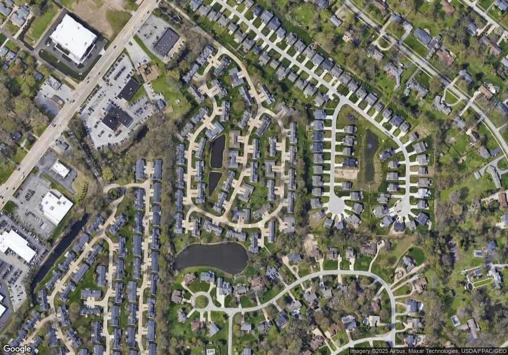
Map
Nearby Homes
- 135 Nantucket Cir
- 81 Fairfield Rd
- 2051 Kingsborough Dr
- 1936 Mentor Ave
- 2155 Ridgebury Dr
- 139 Mill Morr Dr
- 339 Barrington Ridge Rd
- 1651 Mentor Ave Unit 2008
- 1651 Mentor Ave Unit 912
- 1651 Mentor Ave Unit 2804
- 1651 Mentor Ave Unit 106
- 1651 Mentor Ave Unit 1706
- 146 Garfield Dr
- 6509 Hudson Ave
- 6931 Chairmans Ct
- 113 Palm Ct
- 6677 Stratford Rd
- 153 N Doan Ave
- 6624 Belvoir Ct
- 21 Middleton Dr
- 181 Newport Dr
- 185 Newport Dr Unit 185
- 118 Nantucket Cir
- 121 Nantucket Cir
- 117 Nantucket Cir
- 178 Newport Dr
- 186 Newport Dr Unit 186
- 180 Newport Dr
- 122 Nantucket Cir
- 184 Newport Dr
- 179 Newport Dr
- 114 Nantucket Cir
- 127 Nantucket Cir Unit 127
- 177 Newport Dr
- 128 Nantucket Cir
- 187 Newport Dr
- 119 Nantucket Cir
- 133 Nantucket Cir
- 120 Nantucket Cir
- 176 Newport Dr Unit 176