182 Pine Hill Rd Boxborough, MA 01719
Estimated Value: $863,467 - $968,000
3
Beds
4
Baths
2,232
Sq Ft
$405/Sq Ft
Est. Value
About This Home
This home is located at 182 Pine Hill Rd, Boxborough, MA 01719 and is currently estimated at $904,367, approximately $405 per square foot. 182 Pine Hill Rd is a home located in Middlesex County with nearby schools including Acton-Boxborough Regional High School.
Ownership History
Date
Name
Owned For
Owner Type
Purchase Details
Closed on
Aug 29, 2019
Sold by
Hughes Michael J and Hughes Lynn S
Bought by
2019 Hughes Ft and Hughes
Current Estimated Value
Purchase Details
Closed on
May 15, 1992
Sold by
Brunnhoeffer G G and Bruennhoeffer Joyce
Bought by
Hughes Michael J and Hughes Lynn S
Create a Home Valuation Report for This Property
The Home Valuation Report is an in-depth analysis detailing your home's value as well as a comparison with similar homes in the area
Home Values in the Area
Average Home Value in this Area
Purchase History
| Date | Buyer | Sale Price | Title Company |
|---|---|---|---|
| 2019 Hughes Ft | -- | -- | |
| 2019 Hughes Ft | -- | -- | |
| 2019 Hughes Ft | -- | -- | |
| Hughes Michael J | $211,750 | -- | |
| Hughes Michael J | $211,750 | -- |
Source: Public Records
Mortgage History
| Date | Status | Borrower | Loan Amount |
|---|---|---|---|
| Previous Owner | Hughes Michael J | $388,000 | |
| Previous Owner | Hughes Michael J | $260,000 | |
| Previous Owner | Hughes Michael J | $160,000 |
Source: Public Records
Tax History Compared to Growth
Tax History
| Year | Tax Paid | Tax Assessment Tax Assessment Total Assessment is a certain percentage of the fair market value that is determined by local assessors to be the total taxable value of land and additions on the property. | Land | Improvement |
|---|---|---|---|---|
| 2025 | $12,325 | $814,100 | $295,000 | $519,100 |
| 2024 | $12,031 | $802,600 | $283,500 | $519,100 |
| 2023 | $10,929 | $704,200 | $233,700 | $470,500 |
| 2022 | $10,417 | $598,000 | $233,700 | $364,300 |
| 2020 | $9,154 | $547,500 | $233,700 | $313,800 |
| 2019 | $8,990 | $547,500 | $233,700 | $313,800 |
| 2018 | $8,764 | $533,100 | $222,800 | $310,300 |
| 2017 | $8,629 | $513,300 | $222,800 | $290,500 |
| 2016 | $7,797 | $476,600 | $222,800 | $253,800 |
| 2015 | $7,549 | $453,400 | $200,600 | $252,800 |
| 2014 | $7,961 | $450,000 | $194,700 | $255,300 |
Source: Public Records
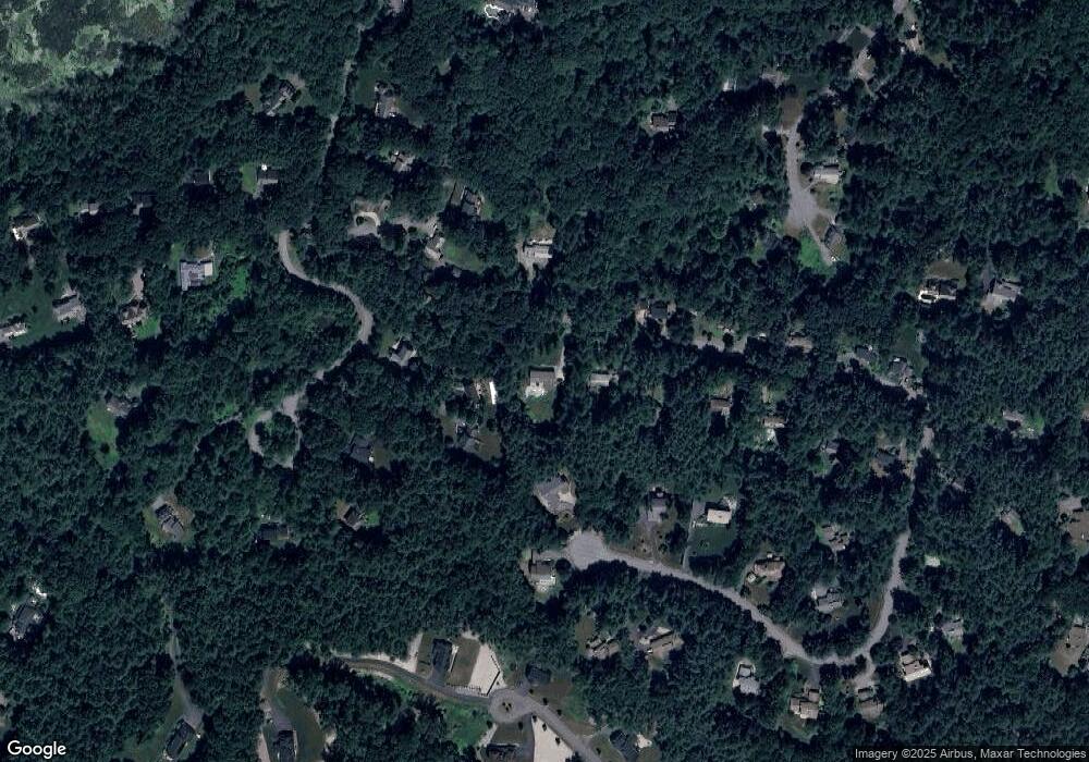
Map
Nearby Homes
- 96 Cedarwood Rd
- 134 Russet Ln
- 68 Macintosh Ln
- 30 Paul Revere Rd
- 12 Olde Lantern Rd
- 777 Depot Rd
- 92 Willow St Unit 3
- 92 Willow St Unit 2
- 90 Willow St Unit 1
- 5 Elm St Unit 1
- 285 Central St Unit 285
- 9 Elm St Unit 1
- 89 Windsor Ave
- 31 Mohawk Dr
- 139 Picnic St
- 1155 Burroughs Rd
- 207 Boxboro Rd
- 4,7,8 Crestwood Ln
- 62 Waite Rd
- 4 Huron Rd
- 166 Pine Hill Rd
- 166 Pine Hill Rd Unit 166
- 48 Cedarwood Rd
- 64 Cedarwood Rd
- 129 Stonehedge Place
- 148 Pine Hill Rd
- 40 Cedarwood Rd
- 157 Pine Hill Rd
- 157 Pine Hill Rd Unit 157
- 183 Pine Hill Rd
- 111 Stonehedge Place
- LOT 2 Sadler Farm Ln
- 166 Burroughs Rd
- 133 Pine Hill Rd
- 171 Pine Hill Rd
- 80 Cedarwood Rd
- 120 Stonehedge Place
- 156 Burroughs Rd
- 99 Stonehedge Place
- 137 Pine Hill Rd