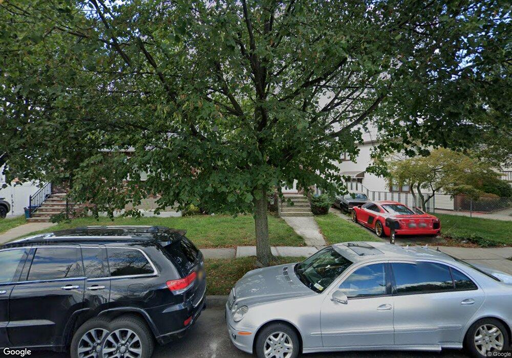
182 Quintard St Staten Island, NY 10305
Dongan Hills NeighborhoodEstimated Value: $660,824 - $721,000
--
Bed
4
Baths
1,250
Sq Ft
$548/Sq Ft
Est. Value
About This Home
This home is located at 182 Quintard St, Staten Island, NY 10305 and is currently estimated at $685,206, approximately $548 per square foot. 182 Quintard St is a home located in Richmond County with nearby schools including P.S. 052 John C. Thompson, Is 2 George L Egbert, and New Dorp High School.
Ownership History
Date
Name
Owned For
Owner Type
Purchase Details
Closed on
Jan 24, 2019
Sold by
Ledger Thomas W and Estate Of Eugene F Ledger Jr
Bought by
Ledger Christopher
Current Estimated Value
Home Financials for this Owner
Home Financials are based on the most recent Mortgage that was taken out on this home.
Original Mortgage
$354,920
Interest Rate
4.6%
Mortgage Type
New Conventional
Create a Home Valuation Report for This Property
The Home Valuation Report is an in-depth analysis detailing your home's value as well as a comparison with similar homes in the area
Home Values in the Area
Average Home Value in this Area
Purchase History
| Date | Buyer | Sale Price | Title Company |
|---|---|---|---|
| Ledger Christopher | $373,600 | Arl Abstract Services Llc |
Source: Public Records
Mortgage History
| Date | Status | Borrower | Loan Amount |
|---|---|---|---|
| Closed | Ledger Christopher | $354,920 |
Source: Public Records
Tax History Compared to Growth
Tax History
| Year | Tax Paid | Tax Assessment Tax Assessment Total Assessment is a certain percentage of the fair market value that is determined by local assessors to be the total taxable value of land and additions on the property. | Land | Improvement |
|---|---|---|---|---|
| 2025 | $5,460 | $37,800 | $5,956 | $31,844 |
| 2024 | $5,460 | $34,380 | $6,499 | $27,881 |
| 2023 | $5,151 | $25,644 | $5,472 | $20,172 |
| 2022 | $4,913 | $32,760 | $8,220 | $24,540 |
| 2021 | $4,803 | $30,840 | $8,220 | $22,620 |
| 2020 | $4,831 | $31,320 | $8,220 | $23,100 |
| 2019 | $9,209 | $28,860 | $8,220 | $20,640 |
| 2018 | $1,881 | $21,370 | $5,926 | $15,444 |
| 2017 | $3,810 | $20,161 | $6,453 | $13,708 |
| 2016 | $3,492 | $19,020 | $8,220 | $10,800 |
| 2015 | $3,518 | $19,920 | $6,840 | $13,080 |
| 2014 | $3,518 | $19,920 | $6,840 | $13,080 |
Source: Public Records
Map
Nearby Homes
- 71 Cameron Ave
- 160 Reid Ave
- 139 Hurlbert St
- 51 Laconia Ave
- 125 Laconia Ave
- 12 Reid Ave
- 115 W Broadway Unit 4
- 12 Mcdermott Ave
- 220 Norway Ave
- 275 Hurlbert St
- 57 Jerome Rd
- 44 Quintard St
- 270 Norway Ave
- 4 Mccormick Place
- 236 Mallory Ave
- 381 Burgher Ave
- 141 Evergreen Ave Unit 2a
- 504 Mcclean Ave
- 79 Kermit Ave
- 54 S Railroad Ave
- 176 Quintard St
- 186 Quintard St
- 174 Quintard St
- 190 Quintard St
- 170 Quintard St
- 43 Ruth Place Unit 45
- 43-45 Ruth Place
- 41 Ruth Place
- 49 Ruth Place
- 168 Quintard St
- 39 Ruth Place
- 35 Ruth Place
- 104 Reid Ave
- 51 Ruth Place
- 33 Ruth Place
- 108 Reid Ave
- 53 Ruth Place
- 31 Ruth Place
- 199 Quintard St
- 199 Quintard St Unit End