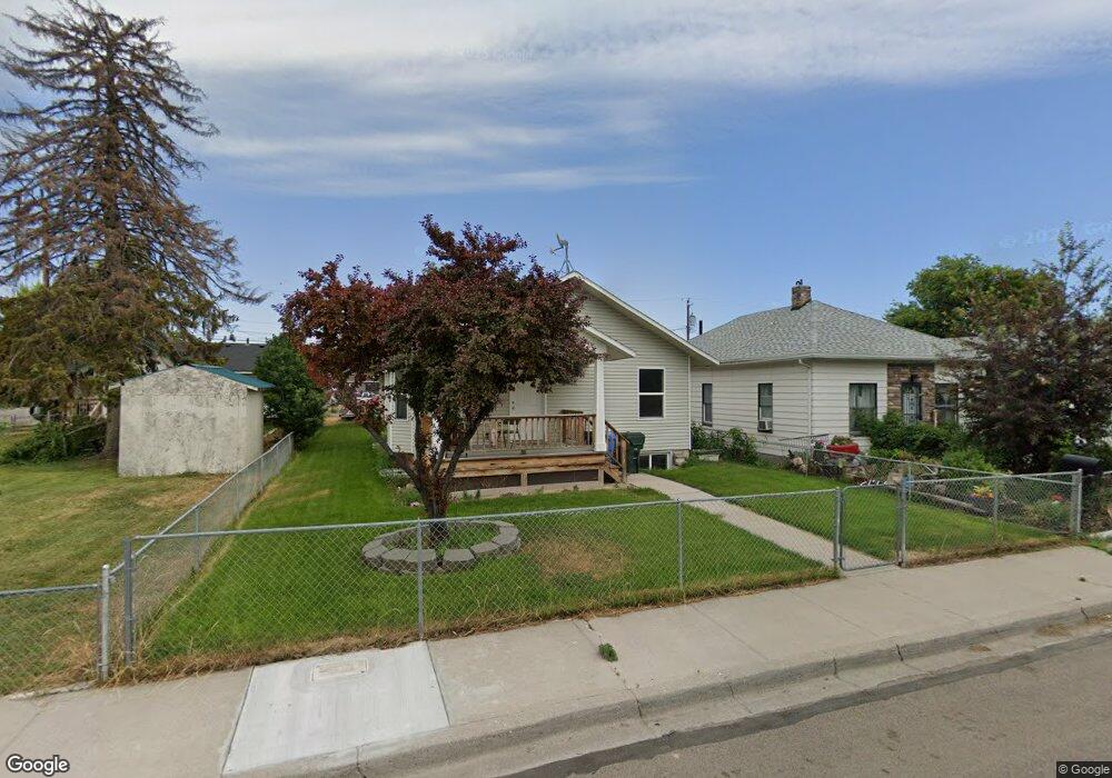
182 Roosevelt Ave Pocatello, ID 83201
Downtown Pocatello NeighborhoodEstimated Value: $241,000 - $286,638
2
Beds
1
Bath
1,398
Sq Ft
$193/Sq Ft
Est. Value
About This Home
This home is located at 182 Roosevelt Ave, Pocatello, ID 83201 and is currently estimated at $270,160, approximately $193 per square foot. 182 Roosevelt Ave is a home located in Bannock County with nearby schools including Lewis & Clark Elementary School, Kinport Academy, and Pocatello High School.
Ownership History
Date
Name
Owned For
Owner Type
Purchase Details
Closed on
Feb 16, 2022
Sold by
Jacob Mowat
Bought by
Mowat Jacob
Current Estimated Value
Home Financials for this Owner
Home Financials are based on the most recent Mortgage that was taken out on this home.
Original Mortgage
$93,600
Outstanding Balance
$75,537
Interest Rate
3.55%
Mortgage Type
New Conventional
Estimated Equity
$194,623
Create a Home Valuation Report for This Property
The Home Valuation Report is an in-depth analysis detailing your home's value as well as a comparison with similar homes in the area
Home Values in the Area
Average Home Value in this Area
Purchase History
| Date | Buyer | Sale Price | Title Company |
|---|---|---|---|
| Mowat Jacob | -- | Pioneer Title |
Source: Public Records
Mortgage History
| Date | Status | Borrower | Loan Amount |
|---|---|---|---|
| Open | Mowat Jacob | $93,600 |
Source: Public Records
Tax History Compared to Growth
Tax History
| Year | Tax Paid | Tax Assessment Tax Assessment Total Assessment is a certain percentage of the fair market value that is determined by local assessors to be the total taxable value of land and additions on the property. | Land | Improvement |
|---|---|---|---|---|
| 2024 | $1,837 | $265,968 | $55,000 | $210,968 |
| 2023 | $1,833 | $282,990 | $55,000 | $227,990 |
| 2022 | $1,833 | $191,053 | $26,156 | $164,897 |
| 2021 | $1,635 | $191,053 | $26,156 | $164,897 |
| 2020 | $1,321 | $165,189 | $21,797 | $143,392 |
| 2019 | $1,385 | $140,827 | $21,797 | $119,030 |
| 2018 | $1,298 | $114,987 | $15,795 | $99,192 |
| 2017 | $1,289 | $114,987 | $15,795 | $99,192 |
| 2016 | $2,516 | $114,987 | $15,795 | $99,192 |
| 2015 | $2,542 | $0 | $0 | $0 |
| 2012 | -- | $131,046 | $15,210 | $115,836 |
Source: Public Records
Map
Nearby Homes
- TBD Mckinley Ave
- 241 Wilson Ave
- 270 Taft Ave
- 189 Washington Ave
- 441 Packard Ave
- 335 Willard Ave
- 532 Roosevelt Ave
- 173 Wayne Ave
- 129 Wayne Ave
- 1142 N Harrison Ave
- 227 Park Ave
- 160 Park Ave
- 168 Park Ave
- 1328 N Arthur Ave
- 941 N Harrison Ave
- 725 N 10th Ave
- 1223 N Arthur Ave
- 1124 E Bridger St
- 1334 N Garfield Ave
- 333 Randolph Ave
- 166 Roosevelt Ave
- 361 W Elm St
- 158 Roosevelt Ave
- 311 W Elm St
- 150 Roosevelt Ave
- 204 Roosevelt Ave
- 411 W Elm St
- 173 Roosevelt Ave
- 165 Roosevelt Ave
- 146 Roosevelt Ave
- 187 Taft Ave
- 155 Roosevelt Ave
- 153 Taft Ave
- 157 Roosevelt Ave
- 214 Roosevelt Ave
- 138 Roosevelt Ave
- 203 Roosevelt Ave
- 141 Taft Ave
- 149 Roosevelt Ave
- 205 Roosevelt Ave