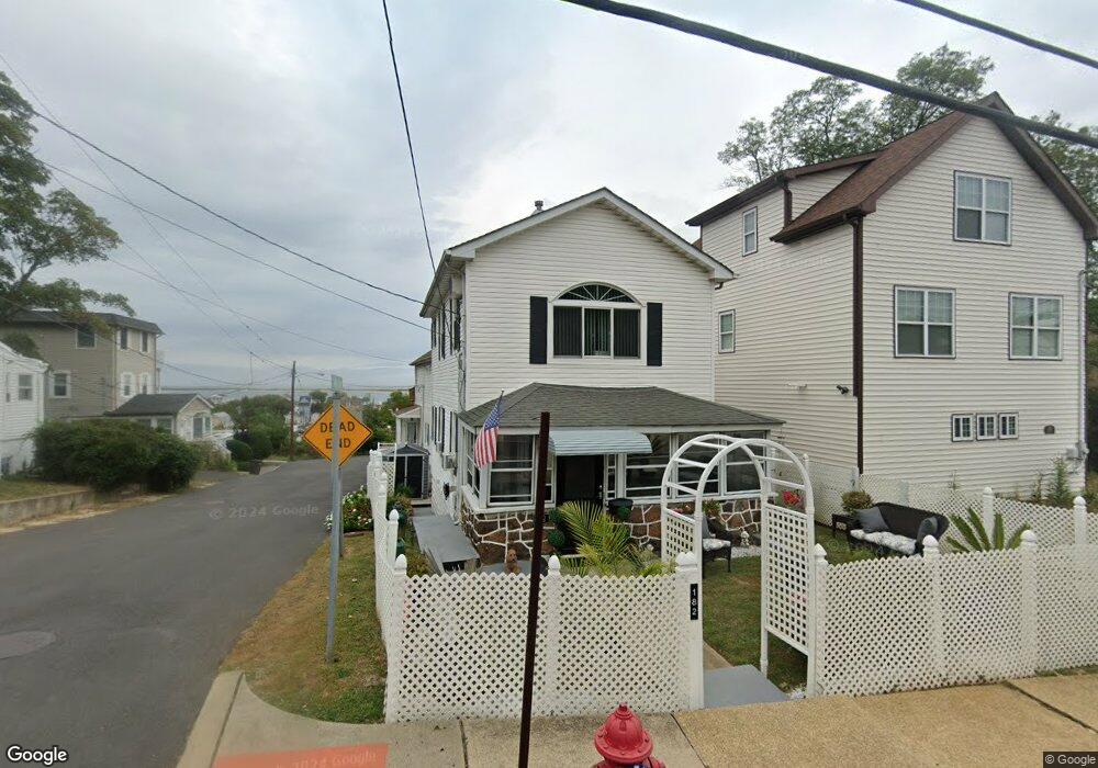
182 State Route 36 Highlands, NJ 07732
Estimated Value: $489,000 - $635,000
2
Beds
2
Baths
1,080
Sq Ft
$514/Sq Ft
Est. Value
About This Home
This home is located at 182 State Route 36, Highlands, NJ 07732 and is currently estimated at $554,920, approximately $513 per square foot. 182 State Route 36 is a home located in Monmouth County with nearby schools including Highlands Elementary School, Henry Hudson Regional School, and Holy Cross School.
Ownership History
Date
Name
Owned For
Owner Type
Purchase Details
Closed on
May 9, 2000
Sold by
Scheuing Doris
Bought by
O'Donnell Bridge
Current Estimated Value
Home Financials for this Owner
Home Financials are based on the most recent Mortgage that was taken out on this home.
Original Mortgage
$79,346
Outstanding Balance
$27,550
Interest Rate
8.21%
Mortgage Type
FHA
Estimated Equity
$527,370
Create a Home Valuation Report for This Property
The Home Valuation Report is an in-depth analysis detailing your home's value as well as a comparison with similar homes in the area
Home Values in the Area
Average Home Value in this Area
Purchase History
| Date | Buyer | Sale Price | Title Company |
|---|---|---|---|
| O'Donnell Bridge | $80,000 | -- |
Source: Public Records
Mortgage History
| Date | Status | Borrower | Loan Amount |
|---|---|---|---|
| Open | O'Donnell Bridge | $79,346 |
Source: Public Records
Tax History Compared to Growth
Tax History
| Year | Tax Paid | Tax Assessment Tax Assessment Total Assessment is a certain percentage of the fair market value that is determined by local assessors to be the total taxable value of land and additions on the property. | Land | Improvement |
|---|---|---|---|---|
| 2025 | $7,910 | $454,600 | $280,100 | $174,500 |
| 2024 | $7,531 | $399,500 | $225,100 | $174,400 |
| 2023 | $7,531 | $375,400 | $205,100 | $170,300 |
| 2022 | $6,346 | $284,800 | $122,600 | $162,200 |
| 2021 | $6,272 | $255,800 | $111,500 | $144,300 |
| 2020 | $6,272 | $252,500 | $111,500 | $141,000 |
| 2019 | $6,585 | $233,100 | $111,500 | $121,600 |
| 2018 | $6,187 | $220,800 | $111,500 | $109,300 |
| 2017 | $6,209 | $220,800 | $111,500 | $109,300 |
| 2016 | $6,110 | $220,800 | $111,500 | $109,300 |
| 2015 | $6,138 | $219,600 | $111,500 | $108,100 |
| 2014 | $5,674 | $210,300 | $111,500 | $98,800 |
Source: Public Records
Map
Nearby Homes
- 180 State Route 36
- 186 Navesink Ave
- 186 Navesink Ave
- 186 State Route 36
- 180 Navesink Ave
- 63 Valley Ave
- 172 Navesink Ave Unit 1
- 172 Navesink Ave Unit 2
- 172 Navesink Ave
- 172 Navesink Ave
- 172 State Route 36
- 188 Navesink Ave
- 188 State Route 36
- 184 State Route 36
- 62 Valley Ave
- 170 State Route 36
- 179 State Route 36
- 179 Navesink Ave
- 184 Navesink Ave
- 187 State Route 36