182 Tondreaus Point Rd Harpswell, ME 04079
Harpswell NeighborhoodEstimated Value: $735,512 - $1,221,000
2
Beds
1
Bath
1,144
Sq Ft
$834/Sq Ft
Est. Value
About This Home
This home is located at 182 Tondreaus Point Rd, Harpswell, ME 04079 and is currently estimated at $954,628, approximately $834 per square foot. 182 Tondreaus Point Rd is a home located in Cumberland County with nearby schools including Mt Ararat High School.
Ownership History
Date
Name
Owned For
Owner Type
Purchase Details
Closed on
Oct 2, 2014
Sold by
Henry & Claire Gosselin Lp
Bought by
Taylor Robin L and Smith Linda C
Current Estimated Value
Home Financials for this Owner
Home Financials are based on the most recent Mortgage that was taken out on this home.
Original Mortgage
$210,000
Outstanding Balance
$161,055
Interest Rate
4.11%
Mortgage Type
New Conventional
Estimated Equity
$793,573
Purchase Details
Closed on
Aug 16, 2007
Sold by
Gosselin Henry V
Bought by
Gosselin Henry V and Gosselin Claire M L
Create a Home Valuation Report for This Property
The Home Valuation Report is an in-depth analysis detailing your home's value as well as a comparison with similar homes in the area
Home Values in the Area
Average Home Value in this Area
Purchase History
| Date | Buyer | Sale Price | Title Company |
|---|---|---|---|
| Taylor Robin L | -- | -- | |
| Gosselin Henry V | -- | -- |
Source: Public Records
Mortgage History
| Date | Status | Borrower | Loan Amount |
|---|---|---|---|
| Open | Taylor Robin L | $210,000 | |
| Previous Owner | Gosselin Henry V | $35,000 |
Source: Public Records
Tax History Compared to Growth
Tax History
| Year | Tax Paid | Tax Assessment Tax Assessment Total Assessment is a certain percentage of the fair market value that is determined by local assessors to be the total taxable value of land and additions on the property. | Land | Improvement |
|---|---|---|---|---|
| 2024 | $3,082 | $484,600 | $328,900 | $155,700 |
| 2023 | $2,956 | $484,600 | $328,900 | $155,700 |
| 2022 | $2,859 | $484,600 | $328,900 | $155,700 |
| 2021 | $3,081 | $455,700 | $343,000 | $112,700 |
| 2020 | $3,071 | $455,700 | $343,000 | $112,700 |
| 2019 | $3,053 | $455,700 | $343,000 | $112,700 |
| 2018 | $2,953 | $455,700 | $343,000 | $112,700 |
| 2017 | $2,944 | $455,700 | $343,000 | $112,700 |
| 2016 | $2,916 | $455,700 | $343,000 | $112,700 |
| 2015 | $2,844 | $455,700 | $343,000 | $112,700 |
| 2013 | $2,572 | $445,000 | $343,000 | $102,000 |
Source: Public Records
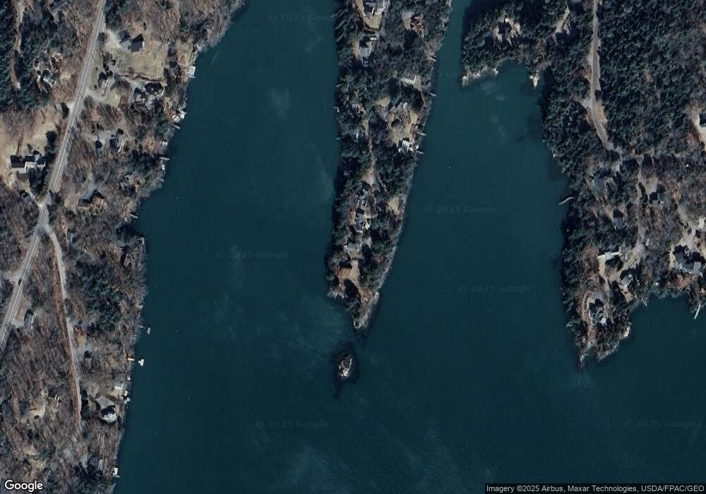
Map
Nearby Homes
- 37 & 38 S Dyers Cove Rd
- 242 Long Reach Ln
- 11 Orion Point Way
- 136 Bethel Point Rd
- 270 Harpswell Neck Rd
- 93 Abbot Cove Rd
- 943 Cundys Harbor Rd
- 646 Gurnet Rd
- 29 & 30 Nob Hill Ave
- lot C Long Point Rd
- 51 & 53 Rock Haven Dr
- 205 W Cundys Point
- 260 Coombs Rd
- 10 Birch Point Rd
- 46 Dam Cove Rd
- Map 80 Lot 18-0 White Island
- 0 Bayview Rd Unit 2 1632776
- 20 Long Point Island
- Lot 2A Allen Point Rd
- Lot 2B Allen Point Rd
- 186 Tondreaus Point Rd
- 178 Tondreaus Point Rd
- 174 Tondreaus Point Rd
- 165 Tondreau Point
- 164 Tondreaus Point Rd
- 160 Tondreaus Point Rd
- 159 Tondreaus Point Rd
- 156 Tondreaus Point Rd
- 153 Tondreaus Point Rd
- 150 Tondreaus Point Rd
- 145 Tondreaus Point Rd
- 11 Dyers Cove Rd
- 140 Tondreaus Point Rd
- 9 Sweet Haven Ln
- 469 Harpswell Islands Rd
- 19 Dyers Cove Rd
- 139 Tondreaus Point Rd
- 17 Twin Coves Ln
- 16 Twin Coves Ln
- 104 Birch Run