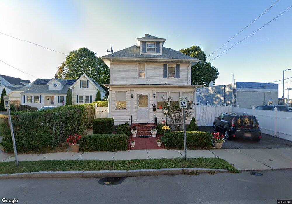
182 Vassall St Quincy, MA 02170
North Quincy NeighborhoodEstimated Value: $677,000 - $786,000
3
Beds
2
Baths
1,620
Sq Ft
$461/Sq Ft
Est. Value
About This Home
This home is located at 182 Vassall St, Quincy, MA 02170 and is currently estimated at $747,465, approximately $461 per square foot. 182 Vassall St is a home located in Norfolk County with nearby schools including Beechwood Knoll Elementary School, Atlantic Middle School, and North Quincy High School.
Ownership History
Date
Name
Owned For
Owner Type
Purchase Details
Closed on
Nov 16, 1994
Sold by
Konstatilakis Paul
Bought by
Barrales Pastricio E and Barrales Elizabeth L
Current Estimated Value
Create a Home Valuation Report for This Property
The Home Valuation Report is an in-depth analysis detailing your home's value as well as a comparison with similar homes in the area
Home Values in the Area
Average Home Value in this Area
Purchase History
| Date | Buyer | Sale Price | Title Company |
|---|---|---|---|
| Barrales Pastricio E | $130,500 | -- |
Source: Public Records
Mortgage History
| Date | Status | Borrower | Loan Amount |
|---|---|---|---|
| Open | Barrales Pastricio E | $241,570 | |
| Closed | Barrales Pastricio E | $14,946 |
Source: Public Records
Tax History Compared to Growth
Tax History
| Year | Tax Paid | Tax Assessment Tax Assessment Total Assessment is a certain percentage of the fair market value that is determined by local assessors to be the total taxable value of land and additions on the property. | Land | Improvement |
|---|---|---|---|---|
| 2025 | $7,793 | $675,900 | $343,500 | $332,400 |
| 2024 | $7,456 | $661,600 | $343,500 | $318,100 |
| 2023 | $6,932 | $622,800 | $327,100 | $295,700 |
| 2022 | $6,594 | $550,400 | $274,100 | $276,300 |
| 2021 | $6,556 | $540,000 | $274,100 | $265,900 |
| 2020 | $6,469 | $520,400 | $274,100 | $246,300 |
| 2019 | $6,305 | $502,400 | $267,900 | $234,500 |
| 2018 | $6,279 | $470,700 | $254,100 | $216,600 |
| 2017 | $5,627 | $397,100 | $211,700 | $185,400 |
| 2016 | $5,292 | $368,500 | $192,500 | $176,000 |
| 2015 | $4,913 | $336,500 | $175,000 | $161,500 |
| 2014 | $4,694 | $315,900 | $166,700 | $149,200 |
Source: Public Records
Map
Nearby Homes
- 6 Warwick St
- 58 Bayfield Rd S
- 101 Beach St
- 297 Billings St
- 140 Phillips St
- 11 Earle St
- 522 Hancock St
- 85 E Squantum St Unit 10
- 201 Billings St
- 38 Walker St
- 25 Hummock Rd
- 100 Thornton St
- 17 Holmes St Unit 2
- 17 Holmes St Unit 4
- 143 Arlington St
- 116 Crabtree Rd
- 250 Fayette St
- 175 Quincy Shore Dr Unit B24
- 212 Quincy Shore Dr
- 63 Crabtree Rd
- 178 Vassall St
- 657 Quincy Shore Dr
- 172 Vassall St Unit 1
- 172 Vassall St
- 172 Vassall St Unit 2
- 59 Channing St
- 57 Channing St
- 170 Vassall St
- 51 Channing St
- 51 Channing St Unit SF
- 66 Channing St
- 166 Vassall St
- 47 Channing St
- 58 Channing St
- 58 Channing St
- 58 Channing St Unit 1
- 677 Quincy Shore Dr Unit 414
- 677 Quincy Shore Dr Unit 413
- 677 Quincy Shore Dr Unit 412
- 677 Quincy Shore Dr Unit 411