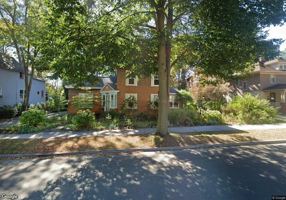
182 W 10th St Holland, MI 49423
Historic District NeighborhoodEstimated Value: $336,000 - $389,000
4
Beds
2
Baths
1,756
Sq Ft
$208/Sq Ft
Est. Value
About This Home
This home is located at 182 W 10th St, Holland, MI 49423 and is currently estimated at $364,564, approximately $207 per square foot. 182 W 10th St is a home located in Ottawa County with nearby schools including Holland High School, Vanderbilt Charter Academy, and Black River Public School Elementary.
Ownership History
Date
Name
Owned For
Owner Type
Purchase Details
Closed on
Nov 19, 2009
Sold by
Lozano Randal
Bought by
Lozano Randal and Lozano Sarah
Current Estimated Value
Purchase Details
Closed on
Mar 5, 2008
Sold by
Deutsche Bank National Trust Co
Bought by
Lozano Randal
Home Financials for this Owner
Home Financials are based on the most recent Mortgage that was taken out on this home.
Original Mortgage
$60,400
Interest Rate
5.88%
Mortgage Type
Purchase Money Mortgage
Purchase Details
Closed on
May 3, 2007
Sold by
Olivarez Alfonso and Solano Lori
Bought by
Deutsche Bank National Trust Co and Morgan Stanley Loan Trust 2006-He4
Purchase Details
Closed on
Feb 23, 2006
Sold by
Solano Lori
Bought by
Olivarez Alfonso and Solano Lori
Purchase Details
Closed on
Apr 13, 2001
Sold by
Polet Brian E
Bought by
Solano Lori
Purchase Details
Closed on
Jul 9, 1986
Sold by
Polet Brian E
Create a Home Valuation Report for This Property
The Home Valuation Report is an in-depth analysis detailing your home's value as well as a comparison with similar homes in the area
Home Values in the Area
Average Home Value in this Area
Purchase History
| Date | Buyer | Sale Price | Title Company |
|---|---|---|---|
| Lozano Randal | -- | None Available | |
| Lozano Randal | $75,500 | Attorneys Title | |
| Deutsche Bank National Trust Co | $120,091 | None Available | |
| Olivarez Alfonso | -- | None Available | |
| Solano Lori | $96,000 | -- | |
| -- | $43,000 | -- |
Source: Public Records
Mortgage History
| Date | Status | Borrower | Loan Amount |
|---|---|---|---|
| Previous Owner | Lozano Randal | $60,400 |
Source: Public Records
Tax History Compared to Growth
Tax History
| Year | Tax Paid | Tax Assessment Tax Assessment Total Assessment is a certain percentage of the fair market value that is determined by local assessors to be the total taxable value of land and additions on the property. | Land | Improvement |
|---|---|---|---|---|
| 2025 | $2,773 | $136,100 | $0 | $0 |
| 2024 | $2,773 | $125,600 | $0 | $0 |
| 2023 | $5,167 | $113,300 | $0 | $0 |
| 2022 | $2,463 | $107,800 | $0 | $0 |
| 2021 | $2,395 | $94,900 | $0 | $0 |
| 2020 | $2,345 | $85,700 | $0 | $0 |
| 2019 | $2,364 | $81,000 | $0 | $0 |
| 2018 | $2,226 | $76,400 | $0 | $0 |
| 2017 | $2,157 | $76,400 | $0 | $0 |
| 2016 | $2,157 | $69,500 | $0 | $0 |
| 2015 | $2,089 | $62,600 | $0 | $0 |
| 2014 | $2,089 | $52,800 | $0 | $0 |
Source: Public Records
Map
Nearby Homes
- 230 W 11th St
- 192 W 12th St
- 186 W 12th St
- 215 W 14th St
- 276 Pine Ave
- 162 W 14th St
- 223 W 15th St
- 268 W 15th St
- 316 W 13th St
- 50 W 8th St Unit 403
- 283 W 16th St
- 98 W 16th St
- 17 W 10th St Unit 490
- 430 Washington Ave
- 159 S River Ave Unit 504
- 159 S River Ave Unit 403
- 159 S River Ave Unit 305
- 159 S River Ave Unit 503
- 159 S River Ave Unit 303
- 159 S River Ave Unit 401