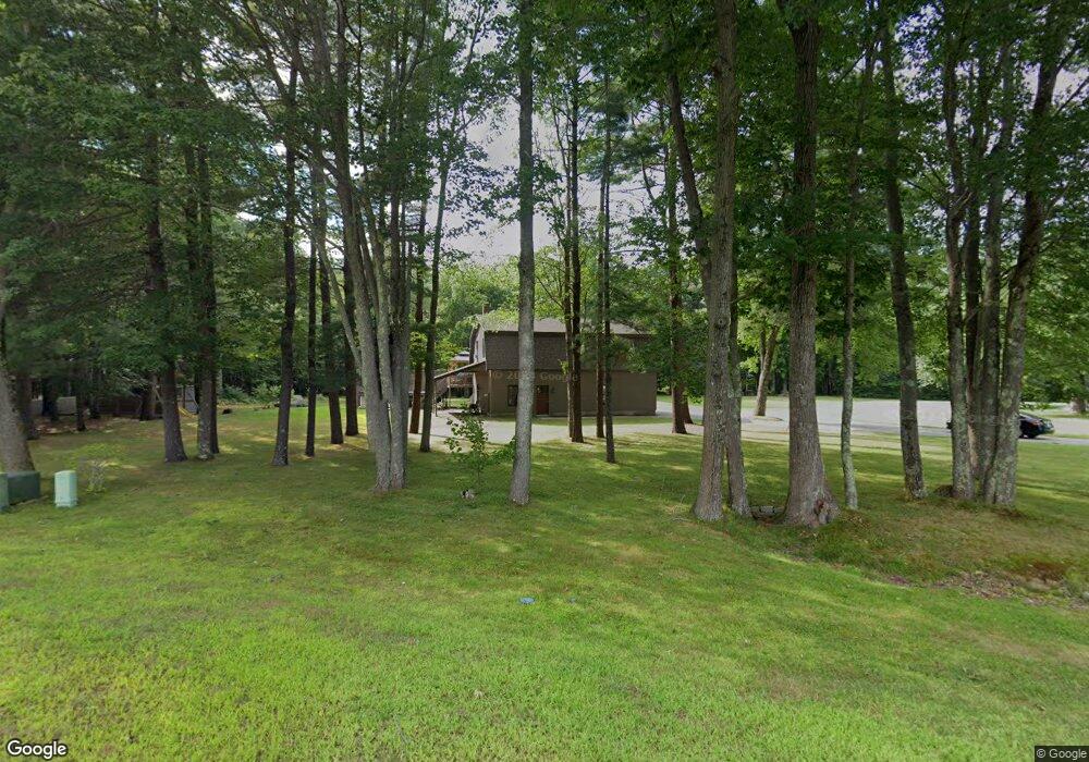
182 West St Biddeford, ME 04005
South Biddeford NeighborhoodEstimated Value: $578,000 - $630,533
2
Beds
3
Baths
2,240
Sq Ft
$268/Sq Ft
Est. Value
About This Home
This home is located at 182 West St, Biddeford, ME 04005 and is currently estimated at $599,883, approximately $267 per square foot. 182 West St is a home located in York County with nearby schools including John F Kennedy Memorial School, Biddeford Primary School, and Biddeford Intermediate School.
Ownership History
Date
Name
Owned For
Owner Type
Purchase Details
Closed on
Jan 12, 2016
Sold by
Larochelle David P and Larochelle Aline S
Bought by
Blais Nicholas R
Current Estimated Value
Purchase Details
Closed on
Feb 17, 2015
Sold by
Larochelle Aline S and Larochelle David P
Bought by
Bouchard Eric L
Create a Home Valuation Report for This Property
The Home Valuation Report is an in-depth analysis detailing your home's value as well as a comparison with similar homes in the area
Home Values in the Area
Average Home Value in this Area
Purchase History
| Date | Buyer | Sale Price | Title Company |
|---|---|---|---|
| Blais Nicholas R | -- | -- | |
| Bouchard Eric L | -- | -- |
Source: Public Records
Tax History
| Year | Tax Paid | Tax Assessment Tax Assessment Total Assessment is a certain percentage of the fair market value that is determined by local assessors to be the total taxable value of land and additions on the property. | Land | Improvement |
|---|---|---|---|---|
| 2025 | $7,609 | $509,300 | $195,600 | $313,700 |
| 2024 | $7,261 | $510,600 | $195,600 | $315,000 |
| 2023 | $6,654 | $507,200 | $192,200 | $315,000 |
| 2022 | $6,141 | $374,200 | $118,600 | $255,600 |
| 2021 | $5,279 | $314,600 | $100,300 | $214,300 |
| 2020 | $5,249 | $286,300 | $91,400 | $194,900 |
| 2019 | $5,720 | $286,300 | $91,400 | $194,900 |
| 2018 | $5,640 | $286,300 | $91,400 | $194,900 |
| 2017 | $5,522 | $279,000 | $91,400 | $187,600 |
| 2016 | $5,541 | $279,000 | $91,400 | $187,600 |
| 2015 | $5,245 | $279,400 | $91,800 | $187,600 |
| 2014 | $5,116 | $279,400 | $91,800 | $187,600 |
| 2013 | -- | $292,900 | $85,200 | $207,700 |
Source: Public Records
Map
Nearby Homes
Your Personal Tour Guide
Ask me questions while you tour the home.