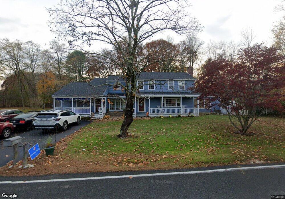
182 Whitehall Rd Amesbury, MA 01913
Estimated Value: $842,000 - $983,000
5
Beds
4
Baths
3,386
Sq Ft
$263/Sq Ft
Est. Value
About This Home
This home is located at 182 Whitehall Rd, Amesbury, MA 01913 and is currently estimated at $891,014, approximately $263 per square foot. 182 Whitehall Rd is a home located in Essex County with nearby schools including Amesbury High School and Amesbury Seventh-Day Adventist School.
Ownership History
Date
Name
Owned For
Owner Type
Purchase Details
Closed on
Aug 29, 2002
Sold by
Costello Nicholas J and Costello Cynthia C
Bought by
Costello Joseph S and Costello Tia E
Current Estimated Value
Create a Home Valuation Report for This Property
The Home Valuation Report is an in-depth analysis detailing your home's value as well as a comparison with similar homes in the area
Home Values in the Area
Average Home Value in this Area
Purchase History
| Date | Buyer | Sale Price | Title Company |
|---|---|---|---|
| Costello Joseph S | $200,000 | -- |
Source: Public Records
Mortgage History
| Date | Status | Borrower | Loan Amount |
|---|---|---|---|
| Open | Costello Joseph S | $348,750 | |
| Closed | Costello Joseph S | $125,000 |
Source: Public Records
Tax History
| Year | Tax Paid | Tax Assessment Tax Assessment Total Assessment is a certain percentage of the fair market value that is determined by local assessors to be the total taxable value of land and additions on the property. | Land | Improvement |
|---|---|---|---|---|
| 2025 | $10,829 | $707,800 | $243,300 | $464,500 |
| 2024 | $10,343 | $661,300 | $229,500 | $431,800 |
| 2023 | $3,369 | $586,800 | $199,500 | $387,300 |
| 2022 | $3,172 | $520,800 | $173,500 | $347,300 |
| 2021 | $2,526 | $480,700 | $133,900 | $346,800 |
| 2020 | $2,287 | $462,600 | $128,800 | $333,800 |
| 2019 | $2,445 | $438,700 | $128,800 | $309,900 |
| 2018 | $2,406 | $417,300 | $122,600 | $294,700 |
| 2017 | $2,528 | $407,400 | $122,600 | $284,800 |
| 2016 | $7,913 | $390,200 | $122,600 | $267,600 |
| 2015 | $7,760 | $377,800 | $122,600 | $255,200 |
| 2014 | $7,597 | $362,300 | $122,600 | $239,700 |
Source: Public Records
Map
Nearby Homes
- 6 Adams Ct
- 14 Mason Ct Unit 14
- 20 Mason Ct
- 25 Whittier Meadows Dr
- 48 Whittier Meadows Dr
- 7 Harrison Eaton Ln
- 48 Orchard St
- 35 Orchard St
- 1 Brown Ave Unit 1-25
- 102R Kimball Rd
- 37 Powow St
- 149 Market St
- 11 1/2 Sanborn Terrace
- 105 Market St Unit B
- 101 Market St Unit B
- 12 School St Unit 2
- 25 Cedar St Unit 7
- 4 Clark St
- 1 Hillside Ave Unit 3
- 97 Elm St
Your Personal Tour Guide
Ask me questions while you tour the home.