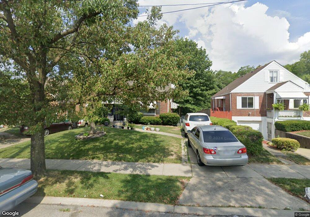
1820 1st Ave Cincinnati, OH 45205
West Price Hill NeighborhoodEstimated Value: $127,000 - $138,000
3
Beds
1
Bath
1,147
Sq Ft
$116/Sq Ft
Est. Value
About This Home
This home is located at 1820 1st Ave, Cincinnati, OH 45205 and is currently estimated at $132,969, approximately $115 per square foot. 1820 1st Ave is a home located in Hamilton County with nearby schools including Carson School, Gilbert A. Dater High School, and Western Hills High School.
Ownership History
Date
Name
Owned For
Owner Type
Purchase Details
Closed on
Nov 3, 2021
Sold by
Dennis Quincy L
Bought by
Naji International Concepts Llc
Current Estimated Value
Purchase Details
Closed on
Oct 26, 2004
Sold by
Kastner Christine
Bought by
Johnson Gwendolyn
Home Financials for this Owner
Home Financials are based on the most recent Mortgage that was taken out on this home.
Original Mortgage
$92,500
Interest Rate
5.86%
Mortgage Type
Fannie Mae Freddie Mac
Purchase Details
Closed on
Feb 20, 1997
Sold by
Kastner Hildegarde
Bought by
Kastner Christine
Create a Home Valuation Report for This Property
The Home Valuation Report is an in-depth analysis detailing your home's value as well as a comparison with similar homes in the area
Home Values in the Area
Average Home Value in this Area
Purchase History
We collect this data history from publicly available records. To have your information removed, we recommend requesting removal directly through your county’s website.
| Date | Buyer | Sale Price | Title Company |
|---|---|---|---|
| Naji International Concepts Llc | -- | None Available | |
| Johnson Gwendolyn | $92,500 | Huntington Title Services | |
| Kastner Christine | $50,000 | -- |
Source: Public Records
Mortgage History
We collect this data history from publicly available records. To have your information removed, we recommend requesting removal directly through your county’s website.
| Date | Status | Borrower | Loan Amount |
|---|---|---|---|
| Previous Owner | Johnson Gwendolyn | $92,500 |
Source: Public Records
Tax History
| Year | Tax Paid | Tax Assessment Tax Assessment Total Assessment is a certain percentage of the fair market value that is determined by local assessors to be the total taxable value of land and additions on the property. | Land | Improvement |
|---|---|---|---|---|
| 2025 | $1,972 | $30,958 | $4,785 | $26,173 |
| 2023 | $1,973 | $30,958 | $4,785 | $26,173 |
| 2022 | $1,551 | $19,709 | $4,757 | $14,952 |
| 2021 | $1,299 | $19,709 | $4,757 | $14,952 |
| 2020 | $1,337 | $19,709 | $4,757 | $14,952 |
| 2019 | $677 | $17,917 | $4,323 | $13,594 |
| 2018 | $678 | $17,917 | $4,323 | $13,594 |
| 2017 | $636 | $17,917 | $4,323 | $13,594 |
| 2016 | $742 | $19,373 | $4,606 | $14,767 |
| 2015 | $677 | $19,373 | $4,606 | $14,767 |
| 2014 | $683 | $19,373 | $4,606 | $14,767 |
| 2013 | $867 | $22,012 | $5,233 | $16,779 |
Source: Public Records
Map
Nearby Homes
- 1741 Gellenbeck St
- 4137 Heyward St
- 1440 Manss Ave
- 1647 Dewey Ave
- 1625 1st Ave
- 1626 Iliff Ave
- 4033 W Liberty St
- 1812 Quebec Rd
- 1261 Dewey Ave
- 2400 Homestead Place
- 1236 1st Ave
- 3744 Mayfield Ave
- 1222 Dewey Ave
- 2473 Wahl Terrace
- 2055 Queen City Ave
- 2525 Homestead Place
- 2504 Forthmann Place
- 3711 Glenway Ave
- 1136 Gilsey Ave
- 2245 Quebec Rd
Your Personal Tour Guide
Ask me questions while you tour the home.