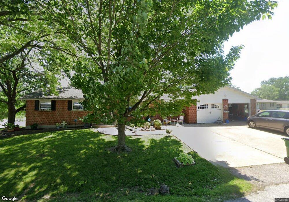
1820 Apple St Pacific, MO 63069
Estimated Value: $220,120 - $293,000
3
Beds
1
Bath
1,404
Sq Ft
$188/Sq Ft
Est. Value
About This Home
This home is located at 1820 Apple St, Pacific, MO 63069 and is currently estimated at $264,373, approximately $188 per square foot. 1820 Apple St is a home located in Franklin County with nearby schools including Pacific High School and St Bridget Elementary School.
Ownership History
Date
Name
Owned For
Owner Type
Purchase Details
Closed on
Sep 15, 2005
Sold by
Koepke Kerry Ray and Koepke Mary K
Bought by
Kristopeit Robert and Kristopeit Carrle
Current Estimated Value
Home Financials for this Owner
Home Financials are based on the most recent Mortgage that was taken out on this home.
Original Mortgage
$152,714
Outstanding Balance
$80,738
Interest Rate
5.76%
Mortgage Type
New Conventional
Estimated Equity
$183,635
Create a Home Valuation Report for This Property
The Home Valuation Report is an in-depth analysis detailing your home's value as well as a comparison with similar homes in the area
Home Values in the Area
Average Home Value in this Area
Purchase History
| Date | Buyer | Sale Price | Title Company |
|---|---|---|---|
| Kristopeit Robert | $149,500 | None Available |
Source: Public Records
Mortgage History
| Date | Status | Borrower | Loan Amount |
|---|---|---|---|
| Open | Kristopeit Robert | $152,714 |
Source: Public Records
Tax History
| Year | Tax Paid | Tax Assessment Tax Assessment Total Assessment is a certain percentage of the fair market value that is determined by local assessors to be the total taxable value of land and additions on the property. | Land | Improvement |
|---|---|---|---|---|
| 2025 | $2,508 | $35,089 | $0 | $0 |
| 2024 | $2,508 | $32,539 | $0 | $0 |
| 2023 | $2,326 | $32,539 | $0 | $0 |
| 2022 | $1,975 | $30,235 | $0 | $0 |
| 2021 | $1,966 | $30,235 | $0 | $0 |
| 2020 | $1,775 | $27,368 | $0 | $0 |
| 2019 | $1,728 | $26,693 | $0 | $0 |
| 2018 | $1,735 | $26,275 | $0 | $0 |
| 2017 | $1,723 | $26,275 | $0 | $0 |
| 2016 | $1,620 | $24,444 | $0 | $0 |
| 2015 | $1,573 | $24,444 | $0 | $0 |
| 2014 | $1,564 | $24,706 | $0 | $0 |
Source: Public Records
Map
Nearby Homes
- 984 Westlake Village Dr
- 1837 Oak St
- 1796 Meade Ct
- 1745 Lake Meade Dr
- 1632 Westlake Cir
- 1808 Westlake Ct
- 707 S Hawthorne Dr
- 1505 Cypress Dr
- 1501 Cypress Dr
- 1985 Heritage Farms Dr
- 42 Cedar Ledge
- 2141 Smoke Signal Rd
- 668 #12 Highlands Ct Ct
- 652 Ct
- 801 W Union St
- 667 #9 Highlands Rd
- 0 Highland St
- 508 Pacific Estates Dr
- 621 W Osage St
- 0 N 6th St Unit MAR24075265
- 1857 Highway N
- 1832 Apple St
- 1825 Apple St
- 1860 Forest Ln
- 1865 Highway N
- 1841 Highway N
- 968 Westlake Village Dr
- 1835 Apple St
- 1872 Forest Ln
- 2 Bblt West Lake Concord Model
- 2 Bblt West Lake Stratford Model
- 2 Bblt Westlake Brookfield Model
- 0 Unknown Unit 18015079
- 0 Unknown Unit 18015076
- 0 Unknown Unit 18015075
- 0 Unknown Unit 18005318
- 0 Unknown Unit 16076671
- 0 Unknown Unit 16075445
- 0 Unknown Unit 16075439
- 0 Unknown Unit 16075431
Your Personal Tour Guide
Ask me questions while you tour the home.