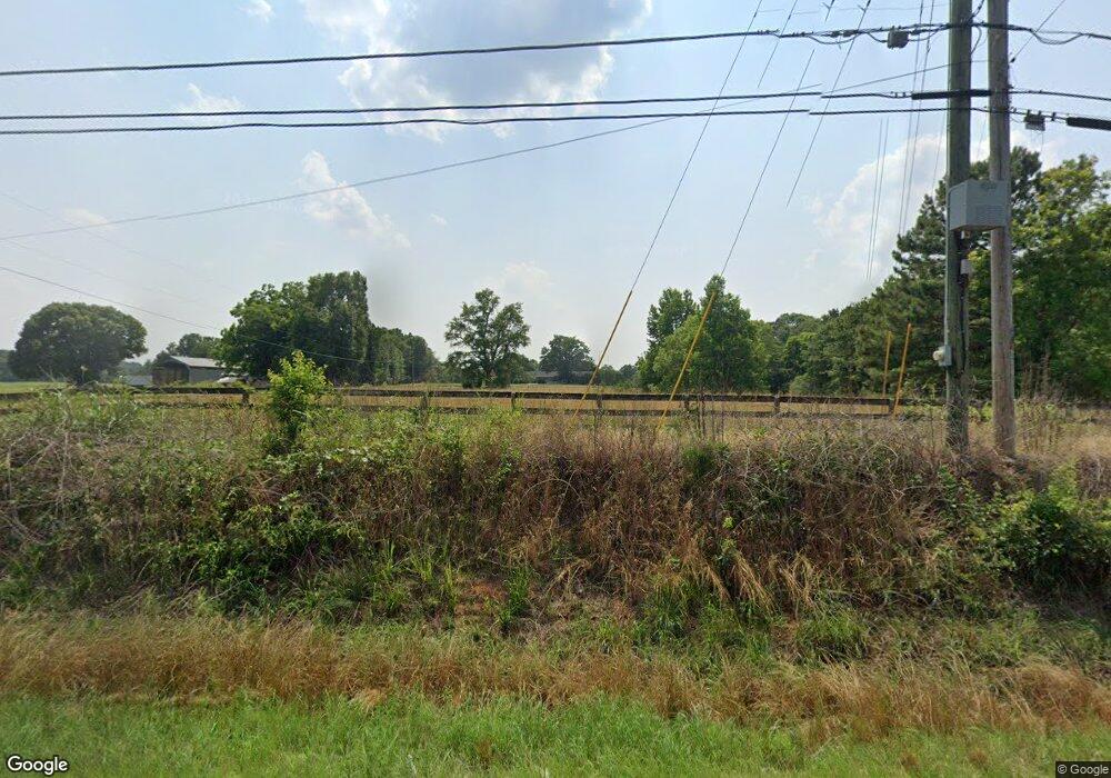
1820 Bostwick Hwy Madison, GA 30650
Estimated Value: $818,895 - $1,117,000
3
Beds
5
Baths
4,726
Sq Ft
$205/Sq Ft
Est. Value
About This Home
This home is located at 1820 Bostwick Hwy, Madison, GA 30650 and is currently estimated at $967,948, approximately $204 per square foot. 1820 Bostwick Hwy is a home with nearby schools including Morgan County Primary School, Morgan County Elementary School, and Morgan County Middle School.
Ownership History
Date
Name
Owned For
Owner Type
Purchase Details
Closed on
Nov 7, 2011
Sold by
Pritchard Farms Lp
Bought by
Pritchard Farms Lp
Current Estimated Value
Purchase Details
Closed on
Oct 31, 2001
Sold by
Pritchard A B
Bought by
Pritchard Farms Lp
Purchase Details
Closed on
Dec 31, 1984
Sold by
Pritchard William B
Bought by
Pritchard A B
Purchase Details
Closed on
Dec 16, 1983
Sold by
United States Of America
Bought by
Pritchard William B
Purchase Details
Closed on
Sep 6, 1983
Sold by
Thomas Harold
Bought by
United States Of America
Purchase Details
Closed on
Feb 11, 1983
Sold by
Thomas Mellie Ann Craig
Bought by
Thomas Harold
Purchase Details
Closed on
May 18, 1973
Sold by
Craig J D
Bought by
Thomas Harold
Create a Home Valuation Report for This Property
The Home Valuation Report is an in-depth analysis detailing your home's value as well as a comparison with similar homes in the area
Home Values in the Area
Average Home Value in this Area
Purchase History
| Date | Buyer | Sale Price | Title Company |
|---|---|---|---|
| Pritchard Farms Lp | -- | -- | |
| Pritchard Farms Lp | -- | -- | |
| Pritchard A B | -- | -- | |
| Pritchard William B | -- | -- | |
| United States Of America | -- | -- | |
| Thomas Harold | -- | -- | |
| Thomas Harold | -- | -- |
Source: Public Records
Tax History Compared to Growth
Tax History
| Year | Tax Paid | Tax Assessment Tax Assessment Total Assessment is a certain percentage of the fair market value that is determined by local assessors to be the total taxable value of land and additions on the property. | Land | Improvement |
|---|---|---|---|---|
| 2024 | $3,592 | $202,750 | $62,033 | $140,717 |
| 2023 | $3,438 | $187,807 | $57,211 | $130,596 |
| 2022 | $3,460 | $182,985 | $57,211 | $125,774 |
| 2021 | $3,467 | $182,767 | $57,211 | $125,556 |
| 2020 | $3,770 | $152,099 | $35,640 | $116,459 |
| 2019 | $3,693 | $146,586 | $31,864 | $114,722 |
| 2018 | $3,674 | $143,689 | $28,967 | $114,722 |
| 2017 | $3,537 | $136,535 | $29,256 | $107,279 |
| 2016 | $3,342 | $126,319 | $28,967 | $97,352 |
| 2015 | $3,244 | $121,080 | $25,520 | $95,560 |
| 2014 | $2,931 | $112,440 | $26,000 | $86,440 |
| 2013 | -- | $92,040 | $27,920 | $64,120 |
Source: Public Records
Map
Nearby Homes
- 853 Pearl St
- 172 N Second St
- 724 Hill St
- 546 Fourth St
- 370 Park St Unit 8
- 679 College Dr
- 270 S Main St
- 411 Old Post Rd
- 1550 Athens Hwy
- 601 Foster Park Ln
- 611 Foster Park Ln
- 617 Dixie Ave
- 943 Harper St
- 665 E Walton St
- 1.19 +/- ACRES Poplar St
- 426 Poplar St
- 1050 Madison Hills Dr Unit 2
- 1080 Madison Hills Dr
- 1080 Madison Hills Dr Unit 5
- 1740 Bostwick Hwy
- 1770 Bostwick Rd
- 3705 Bostwick Rd
- 1801 Bostwick Rd
- 4 Bostwick Rd
- 2 Bostwick Rd
- 0 Bostwick Rd Unit 8180277
- 0 Bostwick Rd Unit 8107335
- 1851 Bostwick Rd
- 1781 Bostwick Hwy
- 1781 Bostwick Hwy
- 0 Bostwick Hwy Unit 8372255
- 0 Bostwick Hwy Unit 8999981
- 0 Bostwick Hwy Unit 9004908
- 0 Bostwick Hwy Unit 9050618
- 0 Bostwick Hwy Unit 6937520
- 0 Bostwick Hwy Unit 9044634
- 0 Bostwick Hwy Unit 3133473
- 0 Bostwick Hwy Unit 7130894
- 0 Bostwick Hwy Unit 8106157
