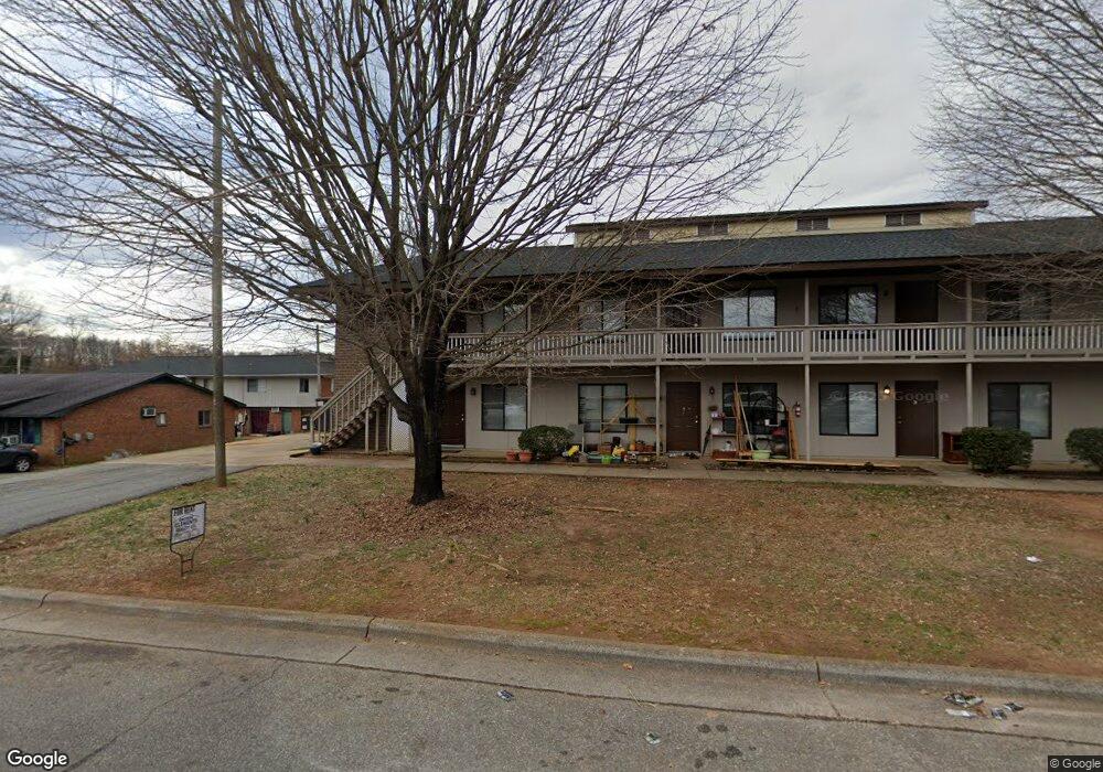
1820 Branch St High Point, NC 27260
Greater High Point NeighborhoodEstimated Value: $358,000 - $559,131
--
Bed
7
Baths
3,112
Sq Ft
$156/Sq Ft
Est. Value
About This Home
This home is located at 1820 Branch St, High Point, NC 27260 and is currently estimated at $486,783, approximately $156 per square foot. 1820 Branch St is a home located in Guilford County with nearby schools including Oak Hill Elementary School, Ferndale Middle School, and High Point Central High School.
Ownership History
Date
Name
Owned For
Owner Type
Purchase Details
Closed on
Mar 3, 2025
Sold by
Thomas Victoria Clements and Thomas Robert Louis
Bought by
Rigamax Kendall Llc
Current Estimated Value
Home Financials for this Owner
Home Financials are based on the most recent Mortgage that was taken out on this home.
Original Mortgage
$1,044,000
Outstanding Balance
$954,987
Interest Rate
6.89%
Mortgage Type
Credit Line Revolving
Estimated Equity
-$468,204
Purchase Details
Closed on
Aug 9, 1993
Bought by
Clements Vicki
Create a Home Valuation Report for This Property
The Home Valuation Report is an in-depth analysis detailing your home's value as well as a comparison with similar homes in the area
Home Values in the Area
Average Home Value in this Area
Purchase History
| Date | Buyer | Sale Price | Title Company |
|---|---|---|---|
| Rigamax Kendall Llc | $500,000 | None Listed On Document | |
| Rigamax Kendall Llc | $500,000 | None Listed On Document | |
| Clements Vicki | -- | -- |
Source: Public Records
Mortgage History
| Date | Status | Borrower | Loan Amount |
|---|---|---|---|
| Open | Rigamax Kendall Llc | $1,044,000 | |
| Closed | Rigamax Kendall Llc | $1,044,000 |
Source: Public Records
Tax History Compared to Growth
Tax History
| Year | Tax Paid | Tax Assessment Tax Assessment Total Assessment is a certain percentage of the fair market value that is determined by local assessors to be the total taxable value of land and additions on the property. | Land | Improvement |
|---|---|---|---|---|
| 2025 | $5,783 | $437,400 | $35,000 | $402,400 |
| 2024 | $5,783 | $437,400 | $35,000 | $402,400 |
| 2023 | $5,783 | $437,400 | $35,000 | $402,400 |
| 2022 | $5,657 | $437,400 | $35,000 | $402,400 |
| 2021 | $3,023 | $219,400 | $37,900 | $181,500 |
| 2020 | $3,023 | $219,400 | $37,900 | $181,500 |
| 2019 | $3,023 | $219,400 | $0 | $0 |
| 2018 | $3,008 | $219,400 | $0 | $0 |
| 2017 | $3,008 | $219,400 | $0 | $0 |
| 2016 | $2,927 | $208,700 | $0 | $0 |
| 2015 | $2,943 | $208,700 | $0 | $0 |
| 2014 | $2,993 | $208,700 | $0 | $0 |
Source: Public Records
Map
Nearby Homes
- 1309 S Elm St
- 620 E Kearns Ave
- 622 E Kearns Ave
- 1809 S Elm St
- 604 Lake Ave
- 915 Park St
- 223 Jay Place
- 1114 Richland St
- 903 Park St Unit A & B
- 1608 Culler Place
- 1113 Young Place
- 1010 Grace St
- 304 E Springfield Rd
- 312 Model Farm Rd
- 400 E Springfield Rd
- 1610 Walker Place
- 625 Fairview St
- 616 S Elm St
- 707 Park St
- 916 Asheboro St