1820 Burrwood Cir Unit 47 East Lansing, MI 48823
Estimated Value: $180,000 - $201,363
2
Beds
2
Baths
1,202
Sq Ft
$156/Sq Ft
Est. Value
About This Home
This home is located at 1820 Burrwood Cir Unit 47, East Lansing, MI 48823 and is currently estimated at $188,091, approximately $156 per square foot. 1820 Burrwood Cir Unit 47 is a home located in Ingham County with nearby schools including Marble Elementary School, MacDonald Middle School, and East Lansing High School.
Ownership History
Date
Name
Owned For
Owner Type
Purchase Details
Closed on
Apr 19, 2011
Sold by
Estate Of Dora E Krieger
Bought by
Savage Sarah R
Current Estimated Value
Home Financials for this Owner
Home Financials are based on the most recent Mortgage that was taken out on this home.
Original Mortgage
$29,875
Outstanding Balance
$20,743
Interest Rate
4.86%
Mortgage Type
Unknown
Estimated Equity
$167,348
Create a Home Valuation Report for This Property
The Home Valuation Report is an in-depth analysis detailing your home's value as well as a comparison with similar homes in the area
Home Values in the Area
Average Home Value in this Area
Purchase History
| Date | Buyer | Sale Price | Title Company |
|---|---|---|---|
| Savage Sarah R | $62,000 | None Available |
Source: Public Records
Mortgage History
| Date | Status | Borrower | Loan Amount |
|---|---|---|---|
| Open | Savage Sarah R | $29,875 | |
| Open | Savage Sarah R | $57,570 |
Source: Public Records
Tax History Compared to Growth
Tax History
| Year | Tax Paid | Tax Assessment Tax Assessment Total Assessment is a certain percentage of the fair market value that is determined by local assessors to be the total taxable value of land and additions on the property. | Land | Improvement |
|---|---|---|---|---|
| 2025 | $3,341 | $97,500 | $0 | $97,500 |
| 2024 | -- | $91,700 | $0 | $91,700 |
| 2023 | $3,121 | $73,000 | $0 | $73,000 |
| 2022 | $2,990 | $75,600 | $0 | $75,600 |
| 2021 | $2,939 | $75,900 | $0 | $75,900 |
| 2020 | $2,906 | $70,000 | $0 | $70,000 |
| 2019 | $2,787 | $67,200 | $0 | $67,200 |
| 2018 | $3,048 | $60,500 | $0 | $60,500 |
| 2017 | $2,926 | $60,400 | $0 | $60,400 |
| 2016 | -- | $60,700 | $0 | $60,700 |
| 2015 | -- | $63,300 | $0 | $0 |
| 2014 | -- | $50,700 | $0 | $0 |
Source: Public Records
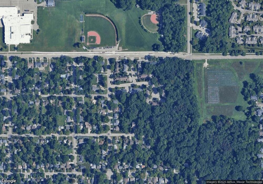
Map
Nearby Homes
- 692 Moorland Dr Unit 10
- 5435 Blue Haven Dr
- 1653 Ann St
- 586 Lexington Ave
- 5420 Park Lake Rd
- 1105 Robb St
- 1542 Ann St
- 1613 Parkvale Ave
- 1608 Haslett Rd
- 562 Virginia Ave
- 5604 Deville Ct
- 657 Spartan Ave
- 5680 Deville Ct Unit 61
- 5189 E Brookfield Dr
- 2545 Koala Dr
- 5724 Lebaron Ct
- 1124 Burcham Dr
- 5403 Wild Oak Dr
- 509 Cornell Ave
- 919 Collingwood Dr
- 1820 Burrwood Cir
- 1824 Burrwood Cir Unit 48
- 1828 Burrwood Cir
- 1832 Burrwood Cir
- 1836 Burrwood Cir Unit 51
- 1812 Burrwood Cir
- 1808 Burrwood Cir Unit 54
- 1804 Burrwood Cir
- 1800 Burrwood Cir
- 1840 Burrwood Cir Unit 46
- 1848 Burrwood Cir Unit 44
- 1852 Burrwood Cir
- 1821 Burrwood Cir
- 1817 Burrwood Cir Unit 5
- 1844 Burrwood Cir Unit 45
- 1844 Burrwood Cir
- 640 Moorland Dr
- 1813 Burrwood Cir Unit 4
- 1825 Burrwood Cir Unit 21
- 1809 Burrwood Cir