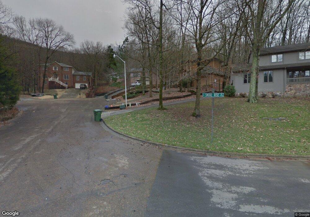
1820 Cross Creek Rd SE Huntsville, AL 35802
Weatherly Heights NeighborhoodEstimated Value: $388,855 - $474,000
--
Bed
1
Bath
2,657
Sq Ft
$161/Sq Ft
Est. Value
About This Home
This home is located at 1820 Cross Creek Rd SE, Huntsville, AL 35802 and is currently estimated at $427,464, approximately $160 per square foot. 1820 Cross Creek Rd SE is a home with nearby schools including Weatherly Heights Elementary School, Mt. Gap Middle School, and Virgil Grissom High School.
Ownership History
Date
Name
Owned For
Owner Type
Purchase Details
Closed on
Jan 16, 2007
Sold by
The Patty Family Educational Trust
Bought by
Moore Darby P and Moore Rebecca R
Current Estimated Value
Home Financials for this Owner
Home Financials are based on the most recent Mortgage that was taken out on this home.
Original Mortgage
$161,500
Outstanding Balance
$95,650
Interest Rate
6.05%
Mortgage Type
New Conventional
Estimated Equity
$331,814
Create a Home Valuation Report for This Property
The Home Valuation Report is an in-depth analysis detailing your home's value as well as a comparison with similar homes in the area
Home Values in the Area
Average Home Value in this Area
Purchase History
| Date | Buyer | Sale Price | Title Company |
|---|---|---|---|
| Moore Darby P | -- | -- |
Source: Public Records
Mortgage History
| Date | Status | Borrower | Loan Amount |
|---|---|---|---|
| Open | Moore Darby P | $161,500 |
Source: Public Records
Tax History Compared to Growth
Tax History
| Year | Tax Paid | Tax Assessment Tax Assessment Total Assessment is a certain percentage of the fair market value that is determined by local assessors to be the total taxable value of land and additions on the property. | Land | Improvement |
|---|---|---|---|---|
| 2024 | $1,752 | $31,040 | $6,260 | $24,780 |
| 2023 | $1,752 | $30,240 | $6,260 | $23,980 |
| 2022 | $1,534 | $27,280 | $6,260 | $21,020 |
| 2021 | $1,430 | $25,480 | $6,260 | $19,220 |
| 2020 | $1,315 | $23,480 | $5,470 | $18,010 |
| 2019 | $1,315 | $23,480 | $5,470 | $18,010 |
| 2018 | $1,249 | $22,360 | $0 | $0 |
| 2017 | $1,233 | $22,080 | $0 | $0 |
| 2016 | $1,233 | $22,080 | $0 | $0 |
| 2015 | $1,233 | $22,080 | $0 | $0 |
| 2014 | $1,284 | $22,960 | $0 | $0 |
Source: Public Records
Map
Nearby Homes
- 01 Wildcreek Trail SE
- 7803 Valley Bend Dr SE
- 1695 Shady Cove Cir SE
- 7809 Valley Bend Dr SE
- 7710 Shadow Bend Dr SE
- 7800 Shadow Bend Dr SE
- 7739 Donegal Dr SE
- 3 Ledge View Dr SE
- 7205 Avalon Dr
- 7201 Avalon Dr
- 7724 Donegal Dr SE
- 1314 Briar Hollow Trail SE
- 7711 Donegal Dr SE
- 7709 Donegal Dr SE
- 153 Ledge View Dr
- 152 Ledge View Dr
- 66 Ledge View Dr
- 8206 Willowbrook Cir SE Unit B
- 8031 Tea Garden Rd SE
- 8201 Willowbrook Cir SE Unit B
- 1818 Cross Creek Rd SE
- 1823 Cross Creek Rd SE
- 7795 Smoke Rise Rd SE
- 1821 Cross Creek Rd SE
- 1819 Cross Creek Rd SE
- 7797 Smoke Rise Rd SE
- 1817 Cross Creek Rd SE
- 7790 Smoke Rise Rd SE
- 7799 Smoke Rise Rd SE
- 7801 Smoke Rise Rd SE
- 7792 Smoke Rise Rd SE
- 7803 Smoke Rise Rd SE
- 1804 Blevins Ridge Dr SE
- 7783 Wildcreek Trail SE
- 7781 Wildcreek Trail SE
- 7785 Wildcreek Trail SE
- 7794 Smoke Rise Rd SE
- 1802 Blevins Ridge Dr SE
- 7805 Smoke Rise Rd SE
- 7787 Wildcreek Trail SE