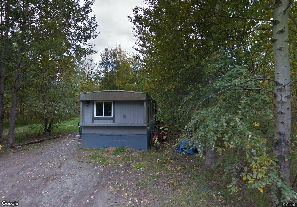
1820 Driftwood Cir Palmer, AK 99645
South Lakes NeighborhoodEstimated Value: $490,000 - $884,159
--
Bed
--
Bath
2,128
Sq Ft
$323/Sq Ft
Est. Value
About This Home
This home is located at 1820 Driftwood Cir, Palmer, AK 99645 and is currently estimated at $687,080, approximately $322 per square foot. 1820 Driftwood Cir is a home located in Matanuska-Susitna Borough with nearby schools including Colony Middle School, Finger Lake Elementary School, and Colony High School.
Ownership History
Date
Name
Owned For
Owner Type
Purchase Details
Closed on
Jun 27, 2014
Sold by
Wilson Kathy A and Wilson Mark
Bought by
Wilson Kathy A
Current Estimated Value
Home Financials for this Owner
Home Financials are based on the most recent Mortgage that was taken out on this home.
Original Mortgage
$110,000
Outstanding Balance
$34,799
Interest Rate
4.09%
Mortgage Type
New Conventional
Estimated Equity
$652,281
Purchase Details
Closed on
Jan 27, 2003
Sold by
Hall Linda M and Hall Gregory
Bought by
Wilson Mark and Wilson Kathy A
Home Financials for this Owner
Home Financials are based on the most recent Mortgage that was taken out on this home.
Original Mortgage
$65,000
Interest Rate
5.96%
Create a Home Valuation Report for This Property
The Home Valuation Report is an in-depth analysis detailing your home's value as well as a comparison with similar homes in the area
Home Values in the Area
Average Home Value in this Area
Purchase History
| Date | Buyer | Sale Price | Title Company |
|---|---|---|---|
| Wilson Kathy A | -- | Mat Su Title Agency Llc | |
| Wilson Mark | -- | -- |
Source: Public Records
Mortgage History
| Date | Status | Borrower | Loan Amount |
|---|---|---|---|
| Open | Wilson Kathy A | $110,000 | |
| Closed | Wilson Mark | $65,000 |
Source: Public Records
Tax History Compared to Growth
Tax History
| Year | Tax Paid | Tax Assessment Tax Assessment Total Assessment is a certain percentage of the fair market value that is determined by local assessors to be the total taxable value of land and additions on the property. | Land | Improvement |
|---|---|---|---|---|
| 2025 | $10,407 | $866,800 | $137,300 | $729,500 |
| 2024 | $10,407 | $841,000 | $137,300 | $703,700 |
| 2023 | $9,860 | $816,000 | $137,300 | $678,700 |
| 2022 | $9,618 | $747,000 | $137,300 | $609,700 |
| 2021 | $9,302 | $652,600 | $137,300 | $515,300 |
| 2020 | $9,088 | $617,700 | $137,300 | $480,400 |
| 2019 | $8,816 | $594,100 | $137,300 | $456,800 |
| 2018 | $8,549 | $579,200 | $137,300 | $441,900 |
| 2017 | $8,292 | $561,800 | $137,300 | $424,500 |
| 2016 | $8,087 | $562,000 | $137,300 | $424,700 |
| 2015 | $7,357 | $556,000 | $133,900 | $422,100 |
| 2014 | $7,357 | $549,900 | $133,900 | $416,000 |
Source: Public Records
Map
Nearby Homes
- 6020 E Westview Cir
- 7302 &7303 E Double B Cir
- 6600 E Finger Lake View Dr
- 7460 E Rawhide Ln
- 6860 E Marge
- 6880 E Rabbit Cir
- 6061 E Menke Cir
- 1125 N Colonial Dr
- 7140 E Riparian Loop
- 7786 E Reisner Loop
- 2525 N Larkspur Hill Cir
- 834 N Upstream Place
- 6816 E Andrew Cir
- 555 S Lower Rd
- 5965 E Wolverine Ave
- 7535 E Woodview Way
- 7340 E Timber Ridge Cir Unit 3
- 7340 E Timber Ridge Cir Unit 28
- 550 S Warmwood Way
- 4931 E Aspen St
- 1761 Driftwood Cir
- 1690 Driftwood Cir
- 1740 Driftwood Cir
- 1850 Driftwood Cir
- 1780 Driftwood Cir
- 1780 Driftwood Cir
- 1801 Driftwood Cir
- 1880 Driftwood Cir
- 1831 Driftwood Cir
- 1740 N Driftwood Cir
- 1910 Driftwood Cir
- 1690 Driftwood Cir
- 1761 Driftwood Cir
- 6501 Legacy Ct
- L4 B2 Legacy Ct
- 1901 Driftwood Cir
- 1941 Driftwood Cir
- 1940 Driftwood Cir
- 1941 Driftwood Cir
- 6691 E Weswood Dr