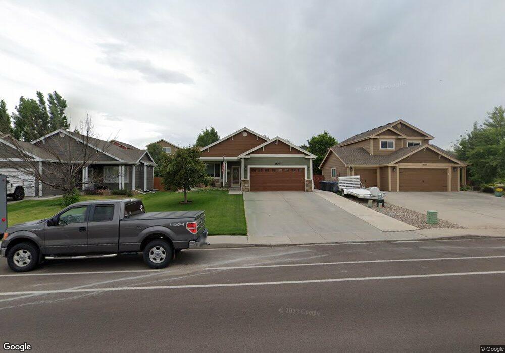
1820 Meadow Dr Cheyenne, WY 82001
Estimated Value: $428,000 - $482,000
--
Bed
--
Bath
1,438
Sq Ft
$315/Sq Ft
Est. Value
About This Home
This home is located at 1820 Meadow Dr, Cheyenne, WY 82001 and is currently estimated at $452,263, approximately $314 per square foot. 1820 Meadow Dr is a home located in Laramie County with nearby schools including Sunrise Elementary School, Johnson Junior High School, and South High School.
Ownership History
Date
Name
Owned For
Owner Type
Purchase Details
Closed on
Aug 7, 2024
Sold by
Winford Henry L and Winford Karen O
Bought by
Winford Living Trust and Winford
Current Estimated Value
Purchase Details
Closed on
Jan 15, 2021
Sold by
Winford Karen O
Bought by
Winford Karen O and Winford Henry Leroy
Purchase Details
Closed on
Jun 15, 2012
Sold by
Winford Karen O and Reeves Karen O
Bought by
Winford Karen O
Purchase Details
Closed on
Apr 15, 2004
Sold by
Parkside Homes Of Wyoming Llc
Bought by
Reeves Karen O
Home Financials for this Owner
Home Financials are based on the most recent Mortgage that was taken out on this home.
Original Mortgage
$154,000
Interest Rate
6.02%
Mortgage Type
Purchase Money Mortgage
Create a Home Valuation Report for This Property
The Home Valuation Report is an in-depth analysis detailing your home's value as well as a comparison with similar homes in the area
Home Values in the Area
Average Home Value in this Area
Purchase History
| Date | Buyer | Sale Price | Title Company |
|---|---|---|---|
| Winford Living Trust | -- | None Listed On Document | |
| Winford Henry L | -- | None Listed On Document | |
| Winford Karen O | -- | None Available | |
| Winford Karen O | -- | None Listed On Document | |
| Winford Karen O | -- | None Available | |
| Reeves Karen O | -- | -- |
Source: Public Records
Mortgage History
| Date | Status | Borrower | Loan Amount |
|---|---|---|---|
| Previous Owner | Reeves Karen O | $154,000 |
Source: Public Records
Tax History Compared to Growth
Tax History
| Year | Tax Paid | Tax Assessment Tax Assessment Total Assessment is a certain percentage of the fair market value that is determined by local assessors to be the total taxable value of land and additions on the property. | Land | Improvement |
|---|---|---|---|---|
| 2025 | $2,405 | $19,078 | $2,750 | $16,328 |
| 2024 | $2,405 | $37,014 | $5,499 | $31,515 |
| 2023 | $2,415 | $37,146 | $5,499 | $31,647 |
| 2022 | $2,312 | $35,029 | $5,499 | $29,530 |
| 2021 | $2,113 | $32,212 | $5,499 | $26,713 |
| 2020 | $1,991 | $30,596 | $5,499 | $25,097 |
| 2019 | $1,813 | $28,111 | $5,499 | $22,612 |
| 2018 | $1,735 | $27,261 | $5,460 | $21,801 |
| 2017 | $1,679 | $26,259 | $4,173 | $22,086 |
| 2016 | $1,518 | $24,025 | $4,166 | $19,859 |
| 2015 | $1,435 | $22,864 | $4,166 | $18,698 |
| 2014 | $1,647 | $22,662 | $4,166 | $18,496 |
Source: Public Records
Map
Nearby Homes
- 5816 Parkside Dr
- 1720 Maroon Dr
- 5724 Parkside Dr
- 1809 Copperville Rd
- 1511 Gettysburg Dr
- 5709 E 13th St
- 4904 E Pershing Blvd
- 4811 E 14th St
- TBD Taft Ave
- 4701 Long Branch Loop
- 4802 E 13th St
- 1913 Prairie Dog Dr
- Tr 3 E Pershing Blvd
- TR 2 E Pershing Blvd
- 6111 Atlantic Dr
- 6119 Atlantic Dr
- 6031 Atlantic Dr
- 6201 Atlantic Dr
- 5831 Indigo Dr
- 800 Everglade Dr
- 1814 Meadow Dr
- 1808 Meadow Dr
- 1835 Gettysburg Dr
- 1829 Gettysburg Dr
- 1841 Gettysburg Dr
- 1802 Meadow Dr
- 1823 Gettysburg Dr
- 1819 Gettysburg Dr
- 1817 Meadow Dr
- 1829 Meadow Dr
- 1904 Meadow Dr
- 1811 Meadow Dr
- 1722 Meadow Dr
- 1903 Gettysburg Dr
- 1805 Meadow Dr
- 5513 Constitution Dr
- 1909 Gettysburg Dr
- 1714 Meadow Dr
- 1801 Meadow Dr
- 1820 Gettysburg Dr