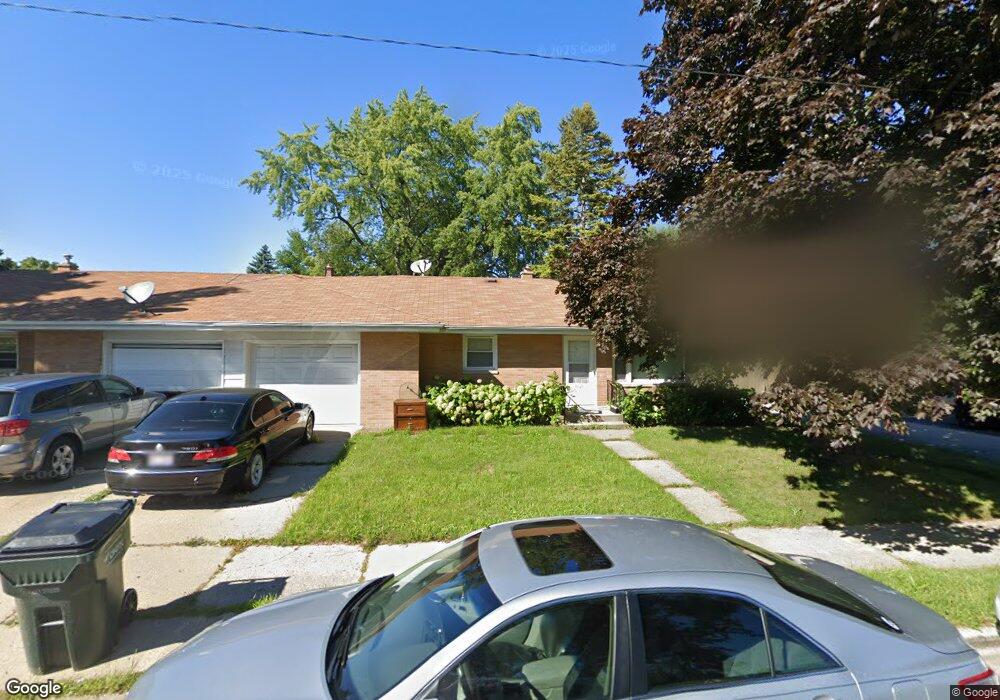
1820 Melrose Ave Unit 1 Waukegan, IL 60085
West Waukegan NeighborhoodEstimated Value: $191,377 - $241,000
2
Beds
2
Baths
968
Sq Ft
$215/Sq Ft
Est. Value
About This Home
This home is located at 1820 Melrose Ave Unit 1, Waukegan, IL 60085 and is currently estimated at $207,844, approximately $214 per square foot. 1820 Melrose Ave Unit 1 is a home located in Lake County with nearby schools including Washington Elementary School, Robert E. Abbott Middle School, and Waukegan High School.
Ownership History
Date
Name
Owned For
Owner Type
Purchase Details
Closed on
Sep 27, 2012
Sold by
Melrose Place Llc
Bought by
Duarte Ignacio and Duarte Carnila
Current Estimated Value
Purchase Details
Closed on
Oct 28, 2008
Sold by
Gaffney David
Bought by
Melrose Place Llc
Purchase Details
Closed on
May 14, 2004
Sold by
Gaffney David G
Bought by
Melrose Place Llc
Create a Home Valuation Report for This Property
The Home Valuation Report is an in-depth analysis detailing your home's value as well as a comparison with similar homes in the area
Home Values in the Area
Average Home Value in this Area
Purchase History
| Date | Buyer | Sale Price | Title Company |
|---|---|---|---|
| Duarte Ignacio | $155,000 | Greater Metropolitan Title L | |
| Melrose Place Llc | -- | None Available | |
| Melrose Place Llc | -- | -- |
Source: Public Records
Tax History Compared to Growth
Tax History
| Year | Tax Paid | Tax Assessment Tax Assessment Total Assessment is a certain percentage of the fair market value that is determined by local assessors to be the total taxable value of land and additions on the property. | Land | Improvement |
|---|---|---|---|---|
| 2024 | $3,608 | $42,779 | $4,956 | $37,823 |
| 2023 | $3,666 | $38,266 | $4,433 | $33,833 |
| 2022 | $3,666 | $37,498 | $6,619 | $30,879 |
| 2021 | $3,820 | $36,638 | $6,393 | $30,245 |
| 2020 | $3,869 | $34,133 | $5,956 | $28,177 |
| 2019 | $3,894 | $31,278 | $5,458 | $25,820 |
| 2018 | $3,945 | $30,517 | $5,453 | $25,064 |
| 2017 | $3,841 | $26,999 | $4,824 | $22,175 |
| 2016 | $3,625 | $23,461 | $2,794 | $20,667 |
| 2015 | $3,547 | $20,998 | $2,501 | $18,497 |
| 2014 | $3,639 | $21,512 | $2,235 | $19,277 |
| 2012 | $4,511 | $23,306 | $2,421 | $20,885 |
Source: Public Records
Map
Nearby Homes
- 49 S Lewis Ave
- 1521 Catalpa Ave
- 132 Dorchester Ct
- 12601 W Atlantic Ave
- 2116 & 2101 Williamsburg Dr
- 1416 Hamilton Ct
- 446 S Jackson St
- 23 N Jackson St
- 304 Powell Ave
- 2726 W Hidden Glen Dr
- 305 Besley Place
- 408 Besley Place
- 24 Washington Terrace
- 613 Clarke Ave
- 0 Brookside Ave
- 610 Bluff St
- 28 N Saint James St
- 2115 Lydia St
- 819 S Fulton Ave
- 613 Washington St
- 1820 Melrose Ave Unit 2
- 1820 Melrose Ave Unit 26
- 1826 Melrose Ave
- 143 S Lewis Ave
- 139 S Lewis Ave
- 146 S Elmwood Ave
- 148 S Elmwood Ave
- 1815 Melrose Ave
- 142 S Elmwood Ave
- 137 S Lewis Ave
- 138 S Elmwood Ave
- 135 S Lewis Ave
- 205 S Lewis Ave
- 136 S Elmwood Ave
- 202 S Elmwood Ave
- 133 S Lewis Ave
- 144 S Lewis Ave
- 144 S Lewis Ave Unit 4
- 144 S Lewis Ave Unit 3
- 134 S Elmwood Ave