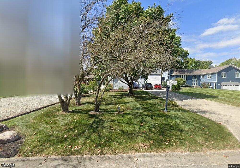
1820 Nantucket Dr Cicero, IN 46034
Estimated Value: $599,701 - $680,000
3
Beds
2
Baths
1,758
Sq Ft
$372/Sq Ft
Est. Value
About This Home
This home is located at 1820 Nantucket Dr, Cicero, IN 46034 and is currently estimated at $654,675, approximately $372 per square foot. 1820 Nantucket Dr is a home located in Hamilton County with nearby schools including Hamilton Heights Primary School, Hamilton Heights Elementary School, and Hamilton Heights Middle School.
Ownership History
Date
Name
Owned For
Owner Type
Purchase Details
Closed on
Oct 29, 2009
Sold by
Investors Capital Llc
Bought by
Richie Keith D and Richie Julie A
Current Estimated Value
Home Financials for this Owner
Home Financials are based on the most recent Mortgage that was taken out on this home.
Original Mortgage
$242,526
Outstanding Balance
$159,248
Interest Rate
5.11%
Mortgage Type
FHA
Estimated Equity
$495,427
Purchase Details
Closed on
Jul 2, 2009
Sold by
Mcclure J David
Bought by
Investors Capital Llc
Purchase Details
Closed on
Nov 26, 2002
Sold by
Mcclure J David and Mcclure Rebecca S
Bought by
Mcclure J David
Create a Home Valuation Report for This Property
The Home Valuation Report is an in-depth analysis detailing your home's value as well as a comparison with similar homes in the area
Home Values in the Area
Average Home Value in this Area
Purchase History
| Date | Buyer | Sale Price | Title Company |
|---|---|---|---|
| Richie Keith D | -- | None Available | |
| Investors Capital Llc | $168,602 | None Available | |
| Mcclure J David | -- | -- |
Source: Public Records
Mortgage History
| Date | Status | Borrower | Loan Amount |
|---|---|---|---|
| Open | Richie Keith D | $242,526 |
Source: Public Records
Tax History Compared to Growth
Tax History
| Year | Tax Paid | Tax Assessment Tax Assessment Total Assessment is a certain percentage of the fair market value that is determined by local assessors to be the total taxable value of land and additions on the property. | Land | Improvement |
|---|---|---|---|---|
| 2024 | $5,266 | $550,700 | $381,600 | $169,100 |
| 2023 | $5,266 | $520,800 | $381,600 | $139,200 |
| 2022 | $4,273 | $427,300 | $239,900 | $187,400 |
| 2021 | $3,958 | $395,800 | $239,900 | $155,900 |
| 2020 | $3,633 | $363,300 | $239,900 | $123,400 |
| 2019 | $3,157 | $315,600 | $169,000 | $146,600 |
| 2018 | $3,225 | $316,000 | $169,000 | $147,000 |
| 2017 | $3,085 | $301,700 | $169,000 | $132,700 |
| 2016 | $3,090 | $302,200 | $169,000 | $133,200 |
| 2014 | $3,001 | $293,300 | $163,000 | $130,300 |
| 2013 | $3,001 | $278,800 | $166,500 | $112,300 |
Source: Public Records
Map
Nearby Homes
- 1940 Stringtown Pike
- 949 Nantucket Dr
- 2029 Seven Peaks Dr
- 1209 Half Moon Ln
- 2390 Lincoln Dr
- 73 Forest Hollow Dr
- 1306 N Catamaran Cir
- 815 Morse Landing Dr
- 826 N Lanyard Dr
- 100 Confidential Dr
- 1367 Sherman Cir
- 1180 Shoreline Cir
- 221 Common Loon Blvd
- 130 Overston Ct
- 2628 Inlet Dr
- 34 Hovden Dr
- 1628 W Port Ct
- 1055 Spinner Ct
- 131 Batteese Dr
- 70 Armitage St
- 1780 Nantucket Dr
- 1840 Nantucket Dr
- 1760 Nantucket Dr
- 1860 Nantucket Dr
- 1880 Nantucket Dr
- 1740 Nantucket Dr
- 1789 Nantucket Dr
- 1769 Nantucket Dr
- 1920 Nantucket Dr
- 1829 Nantucket Dr
- 1720 Nantucket Dr
- 1749 Nantucket Dr
- 1860 Stringtown Pike
- 1940 Stringtown Ave
- 1680 Nantucket Dr
- 1840 Stringtown Pike
- 1729 Nantucket Dr
- 1820 Stringtown Pike
- 1660 Nantucket Dr
- 1960 Stringtown Pike