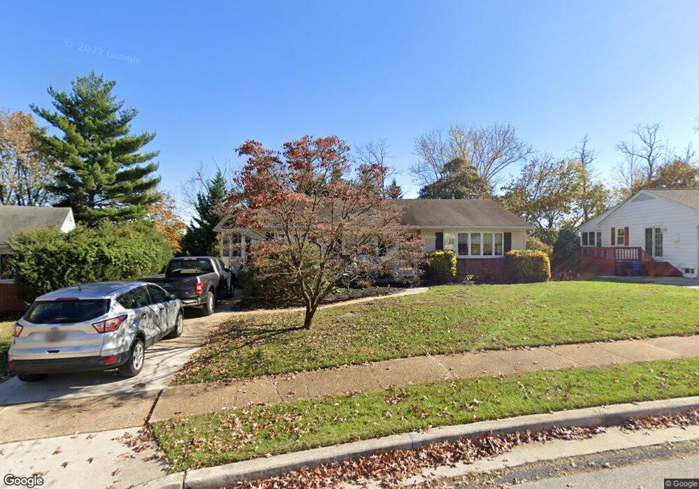
1820 Palo Cir Halethorpe, MD 21227
Estimated Value: $369,736 - $424,000
--
Bed
3
Baths
1,694
Sq Ft
$235/Sq Ft
Est. Value
About This Home
This home is located at 1820 Palo Cir, Halethorpe, MD 21227 and is currently estimated at $397,934, approximately $234 per square foot. 1820 Palo Cir is a home located in Baltimore County with nearby schools including Relay Elementary School, Arbutus Middle School, and Lansdowne High School.
Ownership History
Date
Name
Owned For
Owner Type
Purchase Details
Closed on
May 21, 2024
Sold by
Moon William R and Moon Patricia A
Bought by
Bill And Pat Moon Revocable Trust
Current Estimated Value
Purchase Details
Closed on
Mar 23, 2023
Sold by
An Ground Rents Llc
Bought by
Moon William R and Moon Patricia A
Purchase Details
Closed on
Jul 9, 1992
Sold by
Steffens Walter
Bought by
Moon William R and Moon Patricia A
Create a Home Valuation Report for This Property
The Home Valuation Report is an in-depth analysis detailing your home's value as well as a comparison with similar homes in the area
Home Values in the Area
Average Home Value in this Area
Purchase History
| Date | Buyer | Sale Price | Title Company |
|---|---|---|---|
| Bill And Pat Moon Revocable Trust | -- | None Listed On Document | |
| Moon William R | $2,500 | None Listed On Document | |
| Moon William R | $85,000 | -- |
Source: Public Records
Tax History Compared to Growth
Tax History
| Year | Tax Paid | Tax Assessment Tax Assessment Total Assessment is a certain percentage of the fair market value that is determined by local assessors to be the total taxable value of land and additions on the property. | Land | Improvement |
|---|---|---|---|---|
| 2025 | $4,230 | $300,400 | -- | -- |
| 2024 | $4,230 | $274,600 | $74,800 | $199,800 |
| 2023 | $2,042 | $266,400 | $0 | $0 |
| 2022 | $3,826 | $258,200 | $0 | $0 |
| 2021 | $3,771 | $250,000 | $74,800 | $175,200 |
| 2020 | $3,771 | $245,033 | $0 | $0 |
| 2019 | $3,665 | $240,067 | $0 | $0 |
| 2018 | $3,505 | $235,100 | $74,800 | $160,300 |
| 2017 | $3,284 | $227,200 | $0 | $0 |
| 2016 | $2,839 | $219,300 | $0 | $0 |
| 2015 | $2,839 | $211,400 | $0 | $0 |
| 2014 | $2,839 | $211,400 | $0 | $0 |
Source: Public Records
Map
Nearby Homes
- 1204 Oakland Ct
- 5742 1st Ave
- 5712 Richardson Mews Square
- 19 Piedmont Ct
- 1810 Arbutus Ave
- 5701 1st Ave
- 1173 Kelfield Dr
- 4606 Ridge Ave
- 5627 Oakland Rd
- 1130 Kelfield Dr
- 1816 Fairview Ave
- 1127 Ingate Rd
- 6 Ingate Terrace
- 1942 Catanna Ave
- 1537 S Rolling Rd
- 1132 Ingate Rd
- 1709 Woodside Ave
- 2040 Northeast Ave
- 1246 Elm Rd
- 1243 Linden Ave