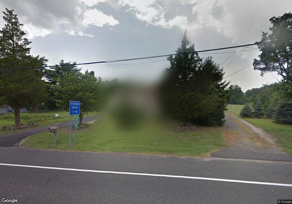
1820 Route 9 Ocean View, NJ 08230
Estimated Value: $389,138 - $472,000
--
Bed
--
Bath
1,598
Sq Ft
$275/Sq Ft
Est. Value
About This Home
This home is located at 1820 Route 9, Ocean View, NJ 08230 and is currently estimated at $439,785, approximately $275 per square foot. 1820 Route 9 is a home located in Cape May County with nearby schools including Upper Township Primary School, Upper Township Elementary School, and Upper Township Middle School.
Ownership History
Date
Name
Owned For
Owner Type
Purchase Details
Closed on
Jul 14, 2014
Sold by
Bregman Donna A
Bought by
Koshland Kyle C
Current Estimated Value
Home Financials for this Owner
Home Financials are based on the most recent Mortgage that was taken out on this home.
Original Mortgage
$110,000
Outstanding Balance
$83,724
Interest Rate
4.14%
Mortgage Type
New Conventional
Estimated Equity
$356,061
Purchase Details
Closed on
May 30, 2009
Sold by
Tropeano Domenick and Tropeano Domenico
Bought by
Bregman Donna A
Purchase Details
Closed on
Jul 11, 1990
Sold by
Tropeano Dominick
Bought by
Atlantic City Electric Co
Purchase Details
Closed on
Apr 11, 1990
Sold by
Tropeanodomenick Trustee
Bought by
Tropeano,Domenick Trustee
Create a Home Valuation Report for This Property
The Home Valuation Report is an in-depth analysis detailing your home's value as well as a comparison with similar homes in the area
Home Values in the Area
Average Home Value in this Area
Purchase History
| Date | Buyer | Sale Price | Title Company |
|---|---|---|---|
| Koshland Kyle C | $180,000 | Shore Title Agency | |
| Bregman Donna A | -- | None Available | |
| Tropeano Domenick | -- | None Available | |
| Atlantic City Electric Co | -- | -- | |
| Tropeano,Domenick Trustee | -- | -- |
Source: Public Records
Mortgage History
| Date | Status | Borrower | Loan Amount |
|---|---|---|---|
| Open | Koshland Kyle C | $110,000 |
Source: Public Records
Tax History Compared to Growth
Tax History
| Year | Tax Paid | Tax Assessment Tax Assessment Total Assessment is a certain percentage of the fair market value that is determined by local assessors to be the total taxable value of land and additions on the property. | Land | Improvement |
|---|---|---|---|---|
| 2025 | $4,058 | $176,800 | $130,300 | $46,500 |
| 2024 | $4,058 | $176,800 | $130,300 | $46,500 |
| 2023 | $3,858 | $176,800 | $130,300 | $46,500 |
| 2022 | $3,729 | $176,800 | $130,300 | $46,500 |
| 2021 | $2,664 | $176,800 | $130,300 | $46,500 |
| 2020 | $3,462 | $176,800 | $130,300 | $46,500 |
| 2019 | $3,379 | $176,800 | $130,300 | $46,500 |
| 2018 | $3,292 | $176,800 | $130,300 | $46,500 |
| 2017 | $3,255 | $176,800 | $130,300 | $46,500 |
| 2016 | $3,306 | $176,800 | $130,300 | $46,500 |
| 2015 | $3,220 | $176,800 | $130,300 | $46,500 |
| 2014 | $5,356 | $360,200 | $263,000 | $97,200 |
Source: Public Records
Map
Nearby Homes
- 1729 Shore Rd
- 3 Sandcastle Dr
- 4 Sandcastle Dr
- 1731 Route 9 Unit 28
- 1431 Stagecoach Rd
- 49 Hope Corson Rd
- 4 W Katherine Ave
- 127 Route 50
- 1340 U S 9
- 86 Route 50
- 2058 U S 9
- 2058 Shore Rd
- 28 Queen Anne Ct
- 5 Kruk Terrace
- 3 Kruk Terrace
- 1233 Route 9
- 81 Flounder
- 10 New Jersey 50
- 16 Winchester Ct
- 1 New Jersey 50
- 1828 Route 9
- 1818 Route 9
- 1817 Route 9
- 1817 Shore Rd
- 1829 Route 9
- 1816 Route 9
- 1810 U S 9
- 1810 Route 9
- 1 Ortlieb Ln
- 1837 Route 9
- 3 Ortlieb Ln
- 5 Ortlieb Ln
- 1800 Route 9
- 1829 Shore Rd
- 7 Ortlieb Ln
- 1731 Shore Rd #149 Unit 149
- 1731 Shore Rd #21 Unit 21
- 1731 Shore Road #120 Unit 120
- 1731 Shore Road Unit 134 Unit 134
- 1731 Shore Rd 116 Unit 116